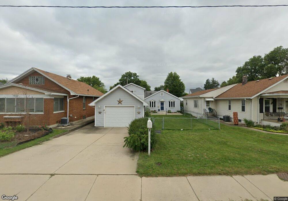
713 E Norris Dr Ottawa, IL 61350
Estimated Value: $153,954 - $194,000
3
Beds
1
Bath
1,542
Sq Ft
$112/Sq Ft
Est. Value
About This Home
This home is located at 713 E Norris Dr, Ottawa, IL 61350 and is currently estimated at $172,239, approximately $111 per square foot. 713 E Norris Dr is a home located in LaSalle County with nearby schools including Ottawa Township High School, Marquette Academy, and Marquette Elementary School.
Ownership History
Date
Name
Owned For
Owner Type
Purchase Details
Closed on
Aug 25, 2017
Sold by
Elliott Nancy M and Spizzirri Patricia J
Bought by
Lumsden Benjamin S and Lumsden Haley A
Current Estimated Value
Home Financials for this Owner
Home Financials are based on the most recent Mortgage that was taken out on this home.
Original Mortgage
$100,909
Outstanding Balance
$84,782
Interest Rate
4.13%
Mortgage Type
New Conventional
Estimated Equity
$87,457
Create a Home Valuation Report for This Property
The Home Valuation Report is an in-depth analysis detailing your home's value as well as a comparison with similar homes in the area
Home Values in the Area
Average Home Value in this Area
Purchase History
| Date | Buyer | Sale Price | Title Company |
|---|---|---|---|
| Lumsden Benjamin S | $100,000 | -- |
Source: Public Records
Mortgage History
| Date | Status | Borrower | Loan Amount |
|---|---|---|---|
| Open | Lumsden Benjamin S | $100,909 |
Source: Public Records
Tax History
| Year | Tax Paid | Tax Assessment Tax Assessment Total Assessment is a certain percentage of the fair market value that is determined by local assessors to be the total taxable value of land and additions on the property. | Land | Improvement |
|---|---|---|---|---|
| 2024 | $3,865 | $37,525 | $5,093 | $32,432 |
| 2023 | $3,537 | $33,585 | $4,558 | $29,027 |
| 2022 | $3,254 | $30,482 | $5,401 | $25,081 |
| 2021 | $3,072 | $28,570 | $5,062 | $23,508 |
| 2020 | $2,903 | $27,140 | $4,809 | $22,331 |
| 2019 | $2,972 | $26,863 | $4,760 | $22,103 |
| 2018 | $2,898 | $26,218 | $4,646 | $21,572 |
| 2017 | $1,007 | $25,415 | $4,504 | $20,911 |
| 2016 | $1,011 | $24,325 | $4,311 | $20,014 |
| 2015 | $504 | $23,204 | $4,112 | $19,092 |
| 2012 | -- | $25,366 | $4,495 | $20,871 |
Source: Public Records
Map
Nearby Homes
- 702 E Joliet St
- 607 E Joliet St
- 565 E Norris Dr
- 713 E Superior St
- 522 E Superior St
- 1849 Post St
- 2103 Franklin Ave
- 1116 Paul St
- 621 Chapel St
- 540 Pearl St
- 1009 Paul St
- 1517 La Salle St
- 213 Deleon St
- 1845 La Salle St
- 1967 Alinda Ave
- 314 Congress St
- 1956 La Salle St
- 820 Columbus St
- 2503 Cedar Crest Dr
- 806 Fulton St
- 715 E Norris Dr
- 711 E Norris Dr
- 717 E Norris Dr
- 709 E Norris Dr
- 725 E Norris Dr
- 718 E Joliet St
- 712 E Joliet St
- 1509 Scott St
- 716 E Joliet St
- 703 E Norris Dr
- 710 E Joliet St
- 730 E Joliet St
- 706 E Joliet St
- 1508 Scott St
- 623 E Norris Dr
- 800 E Joliet St Unit 806
- 711 E Joliet St
- 624 E Joliet St
- 1419 Scott St
- 709 E Joliet St
Your Personal Tour Guide
Ask me questions while you tour the home.