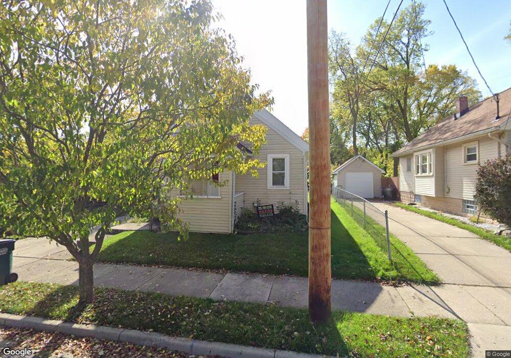
713 Gordon Ave Lansing, MI 48910
Greencroft Park NeighborhoodEstimated Value: $93,000 - $111,000
2
Beds
1
Bath
704
Sq Ft
$148/Sq Ft
Est. Value
About This Home
This home is located at 713 Gordon Ave, Lansing, MI 48910 and is currently estimated at $103,970, approximately $147 per square foot. 713 Gordon Ave is a home located in Ingham County with nearby schools including Averill Elementary School, Attwood School, and J.W. Sexton High School.
Ownership History
Date
Name
Owned For
Owner Type
Purchase Details
Closed on
May 23, 2023
Sold by
Peasley Karen
Bought by
Peasley Karen
Current Estimated Value
Purchase Details
Closed on
Jun 29, 2022
Sold by
Kennedy Lee M
Bought by
Peasley Karen
Home Financials for this Owner
Home Financials are based on the most recent Mortgage that was taken out on this home.
Original Mortgage
$75,660
Interest Rate
5.25%
Mortgage Type
New Conventional
Purchase Details
Closed on
Dec 9, 2010
Sold by
Hatfield David E
Bought by
Federal Home Loan Mortgage Corp
Purchase Details
Closed on
Apr 8, 2003
Sold by
Hatfield Lulu Belle and Snyder Lee C
Bought by
Hatfield David E
Home Financials for this Owner
Home Financials are based on the most recent Mortgage that was taken out on this home.
Original Mortgage
$62,000
Interest Rate
5.12%
Mortgage Type
Purchase Money Mortgage
Create a Home Valuation Report for This Property
The Home Valuation Report is an in-depth analysis detailing your home's value as well as a comparison with similar homes in the area
Home Values in the Area
Average Home Value in this Area
Purchase History
| Date | Buyer | Sale Price | Title Company |
|---|---|---|---|
| Peasley Karen | -- | None Listed On Document | |
| Peasley Karen | $78,000 | Liberty Title | |
| Federal Home Loan Mortgage Corp | $67,519 | None Available | |
| Hatfield David E | $62,000 | Trans |
Source: Public Records
Mortgage History
| Date | Status | Borrower | Loan Amount |
|---|---|---|---|
| Previous Owner | Peasley Karen | $75,660 | |
| Previous Owner | Hatfield David E | $62,000 |
Source: Public Records
Tax History Compared to Growth
Tax History
| Year | Tax Paid | Tax Assessment Tax Assessment Total Assessment is a certain percentage of the fair market value that is determined by local assessors to be the total taxable value of land and additions on the property. | Land | Improvement |
|---|---|---|---|---|
| 2025 | $2,907 | $47,800 | $4,800 | $43,000 |
| 2024 | $23 | $45,800 | $4,800 | $41,000 |
| 2023 | $2,726 | $41,900 | $4,800 | $37,100 |
| 2022 | $2,443 | $39,400 | $6,700 | $32,700 |
| 2021 | $2,857 | $36,300 | $5,800 | $30,500 |
| 2020 | $2,837 | $35,500 | $5,800 | $29,700 |
| 2019 | $4,968 | $34,800 | $5,800 | $29,000 |
| 2018 | $2,599 | $34,100 | $5,800 | $28,300 |
| 2017 | $2,502 | $34,100 | $5,800 | $28,300 |
| 2016 | $4,500 | $33,500 | $5,800 | $27,700 |
| 2015 | $4,500 | $32,600 | $11,639 | $20,961 |
| 2014 | $4,500 | $32,200 | $6,547 | $25,653 |
Source: Public Records
Map
Nearby Homes
- 2313 S Rundle Ave
- 815 Woodbine Ave
- 2421 Stirling Ave
- 2310 Stirling Ave
- 2112 Stirling Ave
- 712 Lenore Ave
- 907 Lenore Ave
- 2011 Osband Ave
- 1032 Kelsey Ave
- 1913 Stirling Ave
- 2515 S Martin Luther King Junior Blvd
- 511 W Mount Hope Ave
- 2011 S Martin Luther King jr Blvd
- 1836 Osband Ave
- 2001 S Martin Luther King Junior Blvd
- 1120 Kelsey Ave
- 0 Rickle
- 2806 S Washington Ave
- 2406 Markley Place
- 1723 Osband Ave
- 717 Gordon Ave
- 2309 S Rundle Ave
- 721 Gordon Ave
- 2300 Beal Ave
- 725 Gordon Ave
- 2323 S Rundle Ave
- 2216 Beal Ave
- 2217 S Rundle Ave
- 2212 Beal Ave
- 2211 S Rundle Ave
- 2210 Beal Ave
- 2208 Beal Ave
- 2209 S Rundle Ave
- 2304 S Rundle Ave
- 2308 S Rundle Ave
- 2217 Beal Ave
- 2318 S Rundle Ave
- 713 Poxson Ave
- 2205 S Rundle Ave
- 2204 Beal Ave