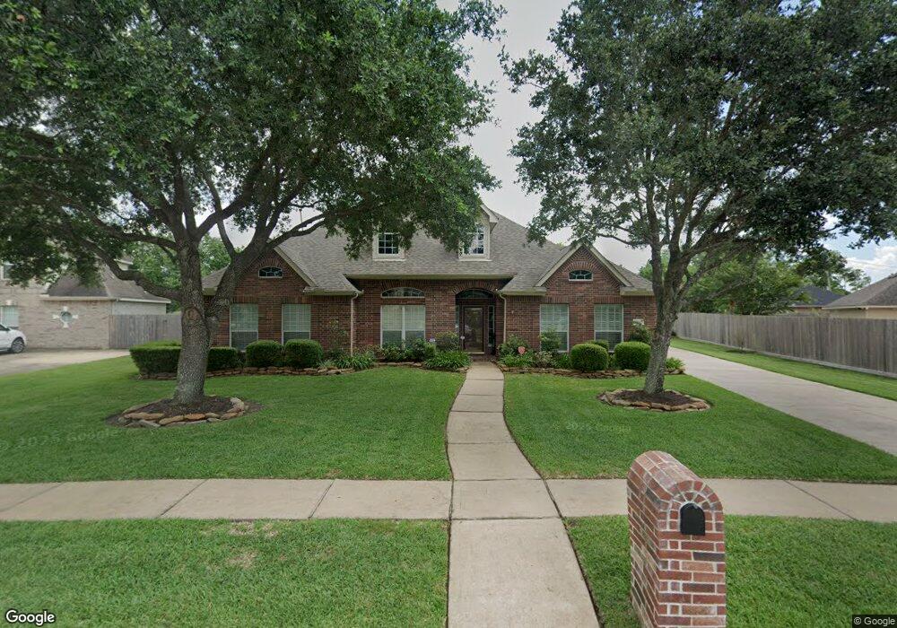
713 High Ridge Dr Friendswood, TX 77546
Estimated Value: $517,000 - $583,000
--
Bed
2
Baths
3,148
Sq Ft
$171/Sq Ft
Est. Value
About This Home
This home is located at 713 High Ridge Dr, Friendswood, TX 77546 and is currently estimated at $539,881, approximately $171 per square foot. 713 High Ridge Dr is a home located in Galveston County with nearby schools including C.W. Cline Elementary School, Windsong Elementary School, and Friendswood Junior High School.
Ownership History
Date
Name
Owned For
Owner Type
Purchase Details
Closed on
Feb 26, 2007
Sold by
Mcdonald Sherwood A and Mcdonald Marsha Gore
Bought by
Mcmillon James O and Mcmillon Beverly
Current Estimated Value
Home Financials for this Owner
Home Financials are based on the most recent Mortgage that was taken out on this home.
Original Mortgage
$259,200
Outstanding Balance
$156,460
Interest Rate
6.21%
Mortgage Type
Purchase Money Mortgage
Estimated Equity
$383,421
Purchase Details
Closed on
May 29, 2003
Sold by
K Hovnanian Of Houston Ii Lp
Bought by
Mcdonald Sherwood A and Mcdonald Marsha Gore
Home Financials for this Owner
Home Financials are based on the most recent Mortgage that was taken out on this home.
Original Mortgage
$166,700
Interest Rate
5.79%
Mortgage Type
Purchase Money Mortgage
Create a Home Valuation Report for This Property
The Home Valuation Report is an in-depth analysis detailing your home's value as well as a comparison with similar homes in the area
Home Values in the Area
Average Home Value in this Area
Purchase History
| Date | Buyer | Sale Price | Title Company |
|---|---|---|---|
| Mcmillon James O | -- | United Title Of Texas | |
| Mcdonald Sherwood A | -- | Alamo Title Company |
Source: Public Records
Mortgage History
| Date | Status | Borrower | Loan Amount |
|---|---|---|---|
| Open | Mcmillon James O | $259,200 | |
| Previous Owner | Mcdonald Sherwood A | $166,700 |
Source: Public Records
Tax History Compared to Growth
Tax History
| Year | Tax Paid | Tax Assessment Tax Assessment Total Assessment is a certain percentage of the fair market value that is determined by local assessors to be the total taxable value of land and additions on the property. | Land | Improvement |
|---|---|---|---|---|
| 2025 | $3,647 | $505,000 | $48,760 | $456,240 |
| 2024 | $3,647 | $505,000 | $48,760 | $456,240 |
| 2023 | $3,647 | $505,000 | $48,760 | $456,240 |
| 2022 | $10,211 | $463,606 | $0 | $0 |
| 2021 | $9,844 | $421,460 | $48,760 | $372,700 |
| 2020 | $9,721 | $403,480 | $48,760 | $354,720 |
| 2019 | $9,666 | $380,640 | $48,760 | $331,880 |
| 2018 | $9,581 | $380,640 | $48,760 | $331,880 |
| 2017 | $8,856 | $381,680 | $48,760 | $332,920 |
| 2016 | $8,051 | $310,000 | $48,760 | $261,240 |
| 2015 | $2,124 | $314,520 | $48,760 | $265,760 |
| 2014 | $2,454 | $237,100 | $48,760 | $188,340 |
Source: Public Records
Map
Nearby Homes
- 705 High Ridge Dr
- 1010 High Ridge Dr
- 1906 Blue Quail Dr
- 2304 Old Rd
- 1217 Red Wing Dr
- 1802 Creekside Dr
- 2305 Farris Valley Ln
- 1302 Eagle Lakes Dr
- 506 Lakeside Ln
- 2202 Calm Pond Ct
- 2120 Lila Sky Ln
- 1305 Edgewater Dr
- 120 Bandera Creek Ln
- 505 Hunters Ln
- 808 Galloway Mist Ln
- 2316 Durango Bend Ln
- 1673 Birch Lake Bend
- 110 Century Dr
- 1115 Hancock Springs Ln
- 1532 River Point Dr
- 709 High Ridge Dr
- 902 High Ridge Cir
- 906 High Ridge Cir
- 708 High Ridge Dr
- 712 High Ridge Dr
- 704 High Ridge Dr
- 716 High Ridge Dr
- 910 High Ridge Cir
- 901 High Ridge Cir
- 836 Falcon Lake Dr
- 803 W Lake Cir
- 905 High Ridge Cir
- 617 High Ridge Dr
- 802 High Ridge Dr
- 804 W Lake Cir
- 832 Falcon Lake Dr
- 2007 Blue Quail Dr
- 801 W Lake Cir
- 613 High Ridge Dr
- 801 High Ridge Dr