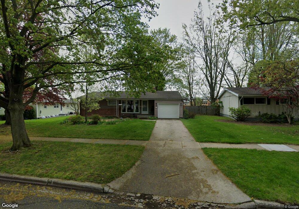
713 High St Adrian, MI 49221
Estimated Value: $166,000 - $184,193
--
Bed
1
Bath
1,151
Sq Ft
$155/Sq Ft
Est. Value
About This Home
This home is located at 713 High St, Adrian, MI 49221 and is currently estimated at $178,064, approximately $154 per square foot. 713 High St is a home located in Lenawee County with nearby schools including Adrian High School, Berean Baptist Academy, and St. Joseph Academy.
Ownership History
Date
Name
Owned For
Owner Type
Purchase Details
Closed on
Nov 22, 2005
Sold by
Sectretary Of Hud
Bought by
Olgren Elizabeth A
Current Estimated Value
Home Financials for this Owner
Home Financials are based on the most recent Mortgage that was taken out on this home.
Original Mortgage
$84,320
Outstanding Balance
$47,099
Interest Rate
6.36%
Mortgage Type
New Conventional
Estimated Equity
$130,965
Purchase Details
Closed on
Aug 16, 2005
Sold by
Mvb Mortgage Corporation
Bought by
U S Department Of Hud
Purchase Details
Closed on
Jul 14, 2005
Sold by
Ellis Mark C and Buie Belinda
Bought by
Mvb Mortgage Corporation
Create a Home Valuation Report for This Property
The Home Valuation Report is an in-depth analysis detailing your home's value as well as a comparison with similar homes in the area
Home Values in the Area
Average Home Value in this Area
Purchase History
| Date | Buyer | Sale Price | Title Company |
|---|---|---|---|
| Olgren Elizabeth A | $15,400 | Atc | |
| U S Department Of Hud | -- | Parks Title | |
| Mvb Mortgage Corporation | $122,127 | None Available |
Source: Public Records
Mortgage History
| Date | Status | Borrower | Loan Amount |
|---|---|---|---|
| Open | Olgren Elizabeth A | $84,320 |
Source: Public Records
Tax History Compared to Growth
Tax History
| Year | Tax Paid | Tax Assessment Tax Assessment Total Assessment is a certain percentage of the fair market value that is determined by local assessors to be the total taxable value of land and additions on the property. | Land | Improvement |
|---|---|---|---|---|
| 2025 | $2,820 | $72,300 | $0 | $0 |
| 2024 | $1,838 | $66,400 | $0 | $0 |
| 2023 | $2,084 | $60,500 | $0 | $0 |
| 2022 | $1,771 | $54,400 | $0 | $0 |
| 2021 | $1,739 | $51,300 | $0 | $0 |
| 2020 | $1,733 | $48,800 | $0 | $0 |
| 2019 | $111,871 | $44,100 | $0 | $0 |
| 2018 | $1,675 | $47,211 | $0 | $0 |
| 2017 | $1,622 | $40,173 | $0 | $0 |
| 2016 | $1,610 | $38,735 | $0 | $0 |
| 2014 | -- | $37,800 | $0 | $0 |
Source: Public Records
Map
Nearby Homes
- 670 Stockford Dr
- 682 Budlong St
- 770 Lakeshire Trail Unit 201 West
- 443 Stockford Dr
- 1001 Saw Mill Ct
- 1003 Saw Mill Ct
- 1005 Saw Mill Ct
- 1007 Saw Mill Ct
- 1012 Saw Mill Ct
- 1018 Saw Mill Ct
- 1014 Saw Mill Ct
- 1016 Saw Mill Ct
- 306 Summer St
- 333 Greenly St
- 2550 Bent Oak Ave
- 2930 Spielman Rd
- 227 Greenly St
- 17 Lakeridge Dr
- 2499 Crestwood Dr
- 146 Budlong St