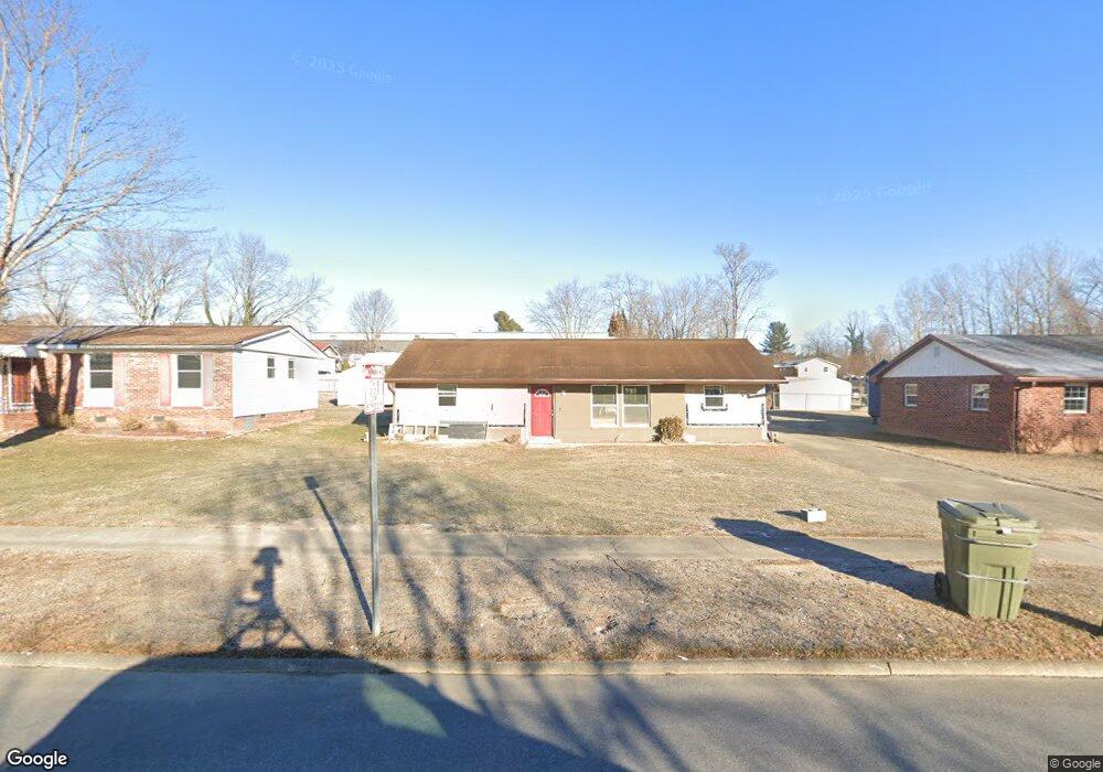
713 Martin Cir Hendersonville, NC 28792
Estimated Value: $199,000 - $337,000
3
Beds
2
Baths
1,066
Sq Ft
$255/Sq Ft
Est. Value
About This Home
This home is located at 713 Martin Cir, Hendersonville, NC 28792 and is currently estimated at $271,686, approximately $254 per square foot. 713 Martin Cir is a home located in Henderson County with nearby schools including Bruce Drysdale Elementary School, Hendersonville Middle School, and Hendersonville High School.
Ownership History
Date
Name
Owned For
Owner Type
Purchase Details
Closed on
Nov 3, 2015
Sold by
Mountain Home Realty Inc
Bought by
Federick Natoya S
Current Estimated Value
Home Financials for this Owner
Home Financials are based on the most recent Mortgage that was taken out on this home.
Original Mortgage
$58,913
Outstanding Balance
$46,463
Interest Rate
3.87%
Mortgage Type
FHA
Estimated Equity
$225,223
Create a Home Valuation Report for This Property
The Home Valuation Report is an in-depth analysis detailing your home's value as well as a comparison with similar homes in the area
Home Values in the Area
Average Home Value in this Area
Purchase History
| Date | Buyer | Sale Price | Title Company |
|---|---|---|---|
| Federick Natoya S | $60,000 | -- |
Source: Public Records
Mortgage History
| Date | Status | Borrower | Loan Amount |
|---|---|---|---|
| Open | Federick Natoya S | $58,913 |
Source: Public Records
Tax History Compared to Growth
Tax History
| Year | Tax Paid | Tax Assessment Tax Assessment Total Assessment is a certain percentage of the fair market value that is determined by local assessors to be the total taxable value of land and additions on the property. | Land | Improvement |
|---|---|---|---|---|
| 2025 | $963 | $86,700 | $27,500 | $59,200 |
| 2024 | $963 | $101,300 | $27,500 | $73,800 |
| 2023 | $933 | $101,300 | $27,500 | $73,800 |
| 2022 | $657 | $60,800 | $12,500 | $48,300 |
| 2021 | $657 | $60,800 | $12,500 | $48,300 |
| 2020 | $639 | $60,800 | $0 | $0 |
| 2019 | $639 | $60,800 | $0 | $0 |
| 2018 | $289 | $51,200 | $0 | $0 |
| 2017 | $289 | $51,200 | $0 | $0 |
| 2016 | $289 | $51,200 | $0 | $0 |
| 2015 | -- | $49,700 | $0 | $0 |
| 2014 | -- | $48,100 | $0 | $0 |
Source: Public Records
Map
Nearby Homes
- 616 Ray Ave
- 00 Locust Grove Rd Unit 2
- 3.02AC 9th Ave E
- 0 Us 64 Hwy Unit CAR4230460
- 1102 N Justice St
- 903 Fleming St
- 227 7th Ave W Unit 322
- 227 7th Ave W Unit 230
- 227 7th Ave W Unit 422
- 538 N Main St Unit 519, 518, 520
- 538 N Main St Unit Floor 2
- 203 6th Ave W Unit 1B
- 203 6th Ave W Unit 2A
- 5 Caroline Valley Ln
- 13 Caroline Valley Ln
- 19 Caroline Valley Ln
- 999 Linda Vista Dr
- 427 6th Ave W Unit B-8
- Robie Plan at Providence Walk
- Elston Plan at Providence Walk
- 709 Martin Cir
- 717 Martin Cir
- 705 Martin Cir
- 721 Martin Cir
- 714 White Sparrow Dr
- 710 White Sparrow Dr
- 1225 Martin Cir
- 706 White Sparrow Dr
- 701 Martin Cir
- 702 White Sparrow Dr
- 721 White Sparrow Dr
- 1206 Martin Cir
- 725 White Sparrow Dr
- 1302 Ashe St
- 1226 Martin Cir
- 1300 Martin Cir
- 722 Parkview Dr
- 724 Oriole Dr
- 728 Parkview Dr
- 1327 Martin Cir