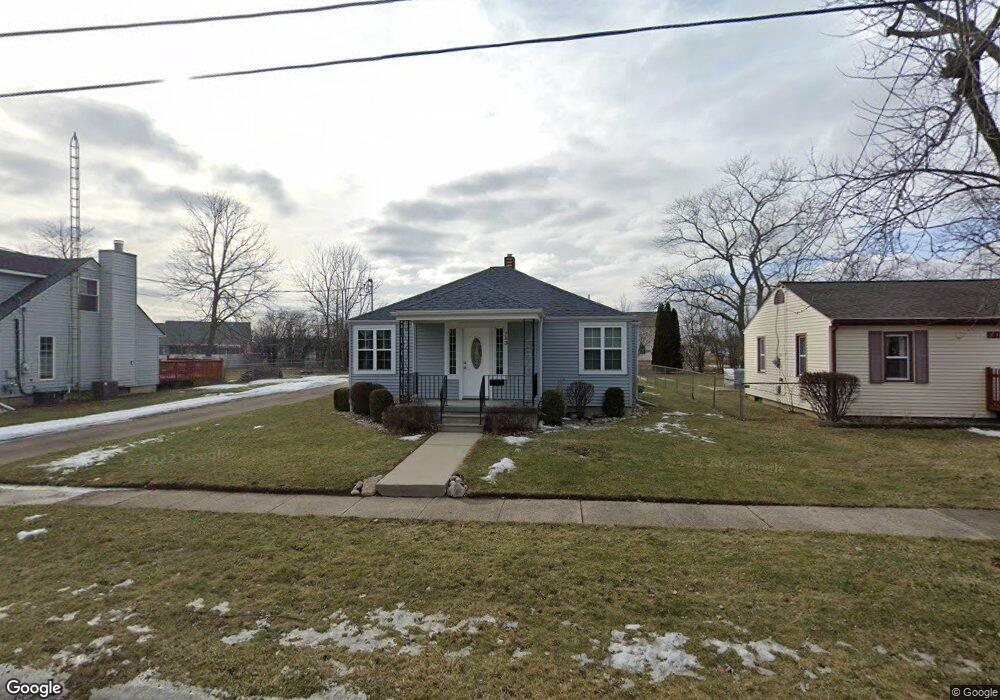
713 Oda St Davison, MI 48423
Estimated Value: $166,129 - $236,000
2
Beds
1
Bath
736
Sq Ft
$260/Sq Ft
Est. Value
About This Home
This home is located at 713 Oda St, Davison, MI 48423 and is currently estimated at $191,032, approximately $259 per square foot. 713 Oda St is a home located in Genesee County with nearby schools including Thomson Elementary School, Hill Elementary School, and Gates Elementary School.
Ownership History
Date
Name
Owned For
Owner Type
Purchase Details
Closed on
Oct 25, 2012
Sold by
Leopard & Polar Bear Properties Llc
Bought by
Wheeler Gary Leroy and Wheeler Madonna L
Current Estimated Value
Purchase Details
Closed on
Nov 4, 2011
Sold by
Derthick Robert
Bought by
Leopard & Polar Bear Properties
Purchase Details
Closed on
Apr 21, 2010
Sold by
Pethers Roberta J
Bought by
Federal Home Loan Mortgage Corp
Purchase Details
Closed on
Dec 19, 1994
Sold by
Pethers John W
Bought by
Pethers Roberta Jeanette
Create a Home Valuation Report for This Property
The Home Valuation Report is an in-depth analysis detailing your home's value as well as a comparison with similar homes in the area
Home Values in the Area
Average Home Value in this Area
Purchase History
| Date | Buyer | Sale Price | Title Company |
|---|---|---|---|
| Wheeler Gary Leroy | $76,000 | Multiple | |
| Leopard & Polar Bear Properties | -- | None Available | |
| Federal Home Loan Mortgage Corp | $26,184 | None Available | |
| Pethers Roberta Jeanette | $15,995 | First American Title Ins Co |
Source: Public Records
Tax History
| Year | Tax Paid | Tax Assessment Tax Assessment Total Assessment is a certain percentage of the fair market value that is determined by local assessors to be the total taxable value of land and additions on the property. | Land | Improvement |
|---|---|---|---|---|
| 2025 | $2,276 | $65,600 | $0 | $0 |
| 2024 | $1,456 | $57,300 | $0 | $0 |
| 2023 | $1,399 | $54,400 | $0 | $0 |
| 2022 | $2,100 | $49,200 | $0 | $0 |
| 2021 | $1,959 | $44,700 | $0 | $0 |
| 2020 | $1,214 | $45,100 | $0 | $0 |
| 2019 | $1,199 | $38,800 | $0 | $0 |
| 2018 | $1,740 | $38,700 | $0 | $0 |
| 2017 | $1,655 | $38,300 | $0 | $0 |
| 2016 | $1,643 | $36,700 | $0 | $0 |
| 2015 | $1,637 | $33,800 | $0 | $0 |
| 2012 | -- | $33,400 | $33,400 | $0 |
Source: Public Records
Map
Nearby Homes
- 611 W Flint St
- 9216 Davison Rd
- 502 Gary Ray Dr
- 625 Charles St
- 511 Garland St
- 726 W 2nd St
- 923 Village
- 927 Village Dr
- 230 W Flint St
- 7040 N Oak Rd
- 2239 Baltimore Ln
- 2323 Baltimore
- 7120 N Oak Rd
- 00 Richfield Rd E
- 2367 Baltimore
- 7165 Donegal
- 2339 Clifden
- 2247 Baltimore Ln
- 0 N Washburn Rd Vacant Land Unit 20261005623
- 9086 Spring Brook Cir Unit 51
Your Personal Tour Guide
Ask me questions while you tour the home.