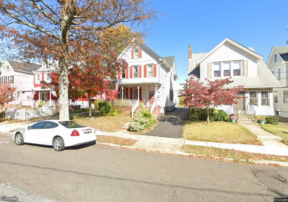
713 Park Ave Collingswood, NJ 08108
Estimated Value: $524,000 - $596,000
--
Bed
--
Bath
1,892
Sq Ft
$296/Sq Ft
Est. Value
About This Home
This home is located at 713 Park Ave, Collingswood, NJ 08108 and is currently estimated at $560,366, approximately $296 per square foot. 713 Park Ave is a home located in Camden County with nearby schools including Zane North Elementary School, Collingswood Middle School, and Collingswood High School.
Ownership History
Date
Name
Owned For
Owner Type
Purchase Details
Closed on
Jan 29, 2020
Sold by
Petrie James E and Estate Of Samuel A Walls Jr
Bought by
Petrie James E
Current Estimated Value
Purchase Details
Closed on
Mar 28, 2002
Sold by
Mclaughlin William E
Bought by
Petrie Samuel A
Home Financials for this Owner
Home Financials are based on the most recent Mortgage that was taken out on this home.
Original Mortgage
$149,600
Outstanding Balance
$63,431
Interest Rate
7.13%
Estimated Equity
$496,935
Create a Home Valuation Report for This Property
The Home Valuation Report is an in-depth analysis detailing your home's value as well as a comparison with similar homes in the area
Home Values in the Area
Average Home Value in this Area
Purchase History
| Date | Buyer | Sale Price | Title Company |
|---|---|---|---|
| Petrie James E | -- | None Available | |
| Petrie Samuel A | $157,500 | -- |
Source: Public Records
Mortgage History
| Date | Status | Borrower | Loan Amount |
|---|---|---|---|
| Open | Petrie Samuel A | $149,600 |
Source: Public Records
Tax History Compared to Growth
Tax History
| Year | Tax Paid | Tax Assessment Tax Assessment Total Assessment is a certain percentage of the fair market value that is determined by local assessors to be the total taxable value of land and additions on the property. | Land | Improvement |
|---|---|---|---|---|
| 2025 | $11,610 | $541,300 | $201,700 | $339,600 |
| 2024 | $11,439 | $299,300 | $86,000 | $213,300 |
| 2023 | $11,439 | $299,300 | $86,000 | $213,300 |
| 2022 | $11,155 | $299,300 | $86,000 | $213,300 |
| 2021 | $10,987 | $299,300 | $86,000 | $213,300 |
| 2020 | $10,733 | $299,300 | $86,000 | $213,300 |
| 2019 | $10,499 | $299,300 | $86,000 | $213,300 |
| 2018 | $10,398 | $299,300 | $86,000 | $213,300 |
| 2017 | $10,260 | $299,300 | $86,000 | $213,300 |
| 2016 | $9,994 | $299,300 | $86,000 | $213,300 |
| 2015 | $9,697 | $299,300 | $86,000 | $213,300 |
| 2014 | $9,428 | $299,300 | $86,000 | $213,300 |
Source: Public Records
Map
Nearby Homes
- 108 Dayton Ave
- 820 Stokes Ave
- 869 Haddon Ave
- 111 Cooper Ave
- 30 Lincoln Ave
- 109 Frazer Ave
- 600 N Atlantic Ave Unit 304
- 4 W Homestead Ave
- 928 Linwood Ave
- 75 E Collings Ave
- 994 Haddon Ave
- 108 Conard Ave
- 940 Linwood Ave
- 35 Woodlawn Ave
- 6 Allen Ln
- 17 Harvard Ave
- 1 Lakeshore Dr
- 429 Park Ave
- 421 Lincoln Ave
- 1108 Stokes Ave
- 715 Park Ave
- 709 Park Ave
- 719 Park Ave
- 705 Park Ave
- 705 Park Ave Unit B 2ND FL
- 701 Park Ave
- 725 Park Ave
- 106 Dayton Ave
- 106 Dayton Ave Unit B
- 106 Dayton Ave Unit A
- 714 Atlantic Ave
- 716 UNIT B Atlantic Ave
- 716 Atlantic Ave
- 104 Dayton Ave
- 712 Atlantic Ave
- 720 Atlantic Ave
- 729 Park Ave
- 710 Atlantic Ave
- 102 Dayton Ave
- 716 Atlantic Ave