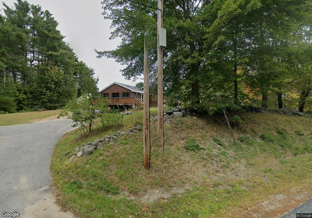
713 Poland Range Rd Pownal, ME 04069
Estimated Value: $349,000 - $1,044,000
--
Bed
--
Bath
1,744
Sq Ft
$355/Sq Ft
Est. Value
About This Home
This home is located at 713 Poland Range Rd, Pownal, ME 04069 and is currently estimated at $619,773, approximately $355 per square foot. 713 Poland Range Rd is a home with nearby schools including Freeport High School.
Ownership History
Date
Name
Owned For
Owner Type
Purchase Details
Closed on
Apr 30, 2024
Sold by
Wheeler Wedgwood W
Bought by
Humphrey Benjamin H
Current Estimated Value
Home Financials for this Owner
Home Financials are based on the most recent Mortgage that was taken out on this home.
Original Mortgage
$339,500
Outstanding Balance
$334,103
Interest Rate
6.87%
Mortgage Type
Purchase Money Mortgage
Estimated Equity
$285,670
Purchase Details
Closed on
Feb 21, 2024
Sold by
Wheeler Brian S
Bought by
Wheeler Wedgwood W
Create a Home Valuation Report for This Property
The Home Valuation Report is an in-depth analysis detailing your home's value as well as a comparison with similar homes in the area
Home Values in the Area
Average Home Value in this Area
Purchase History
| Date | Buyer | Sale Price | Title Company |
|---|---|---|---|
| Humphrey Benjamin H | $350,000 | Misc Company | |
| Wheeler Wedgwood W | -- | None Available |
Source: Public Records
Mortgage History
| Date | Status | Borrower | Loan Amount |
|---|---|---|---|
| Open | Humphrey Benjamin H | $339,500 |
Source: Public Records
Tax History Compared to Growth
Tax History
| Year | Tax Paid | Tax Assessment Tax Assessment Total Assessment is a certain percentage of the fair market value that is determined by local assessors to be the total taxable value of land and additions on the property. | Land | Improvement |
|---|---|---|---|---|
| 2024 | $5,535 | $325,600 | $89,600 | $236,000 |
| 2023 | $5,116 | $271,400 | $74,700 | $196,700 |
| 2022 | $4,885 | $271,400 | $74,700 | $196,700 |
| 2021 | $4,885 | $271,400 | $74,700 | $196,700 |
| 2020 | $4,885 | $271,400 | $74,700 | $196,700 |
| 2019 | $4,967 | $271,400 | $74,700 | $196,700 |
| 2018 | $4,885 | $271,400 | $74,700 | $196,700 |
| 2017 | $4,682 | $271,400 | $74,700 | $196,700 |
| 2016 | $4,478 | $271,400 | $74,700 | $196,700 |
| 2015 | $4,145 | $122,800 | $19,100 | $103,700 |
| 2014 | $4,237 | $122,800 | $19,100 | $103,700 |
| 2013 | $4,267 | $122,800 | $19,100 | $103,700 |
Source: Public Records
Map
Nearby Homes
- 850 Lawrence Rd
- 99 Rangdale Rd
- 890 Elmwood Rd
- 284 Allen Rd
- 244 Allen Rd
- 1 Mattie Ln
- 206 Davis Rd
- 238 Hallowell Rd
- 026-01 Dow Ln
- 4 Harper's Trail
- 162 Merrill Rd
- 006-114 Old Brunswick Rd
- 200 Woodman Rd
- 137 Durham Rd
- 12 Peter Robin Way
- 16 Harlie Woods Rd
- 1032 Ferry Rd
- 32 Grant Rd
- 118 Royal Rd
- 143 Bragdon Rd
- 727 Poland Range Rd
- 714 Poland Range Rd
- 724 Poland Range Rd
- 749 Poland Range Rd
- 753 Poland Range Rd
- 653 Poland Range Rd
- 782 Poland Range Rd
- 783 Lawrence Rd
- 795 Lawrence Rd
- 768 Lawrence Rd
- 0 Lawrence & Elmwood
- 752 Lawrence Rd
- 784 Lawrence Rd
- 3 Upper Minot Rd
- 61 Upper Minot Rd
- 589 Poland Range Rd
- 37 Upper Minot Rd
- 800 Lawrence Rd
- 796 Lawrence Rd
- 841 Lawrence Rd