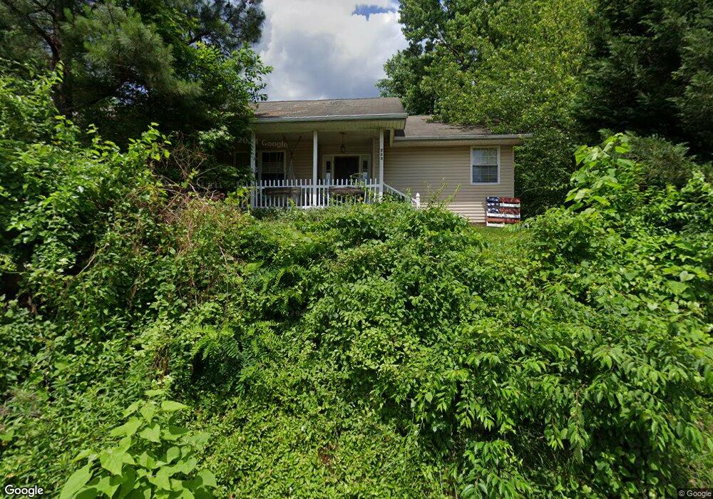
713 Robinson Ave Aberdeen, MD 21001
Estimated Value: $246,183 - $558,000
Studio
1
Bath
1,783
Sq Ft
$197/Sq Ft
Est. Value
About This Home
This home is located at 713 Robinson Ave, Aberdeen, MD 21001 and is currently estimated at $351,046, approximately $196 per square foot. 713 Robinson Ave is a home located in Harford County with nearby schools including G. Lisby Elementary At Hillsdale, Aberdeen Middle School, and Aberdeen High School.
Ownership History
Date
Name
Owned For
Owner Type
Purchase Details
Closed on
Jan 7, 2026
Sold by
Bierman Howard N
Bought by
Hsbc Bank Usa National Association and Citigroup Mortgage Loan Trust
Current Estimated Value
Purchase Details
Closed on
Aug 12, 2003
Sold by
Ground Aberdeen Proving
Bought by
Long Benjamin J and Long Heather
Purchase Details
Closed on
Aug 16, 2002
Sold by
Mcwhite Josephine P
Bought by
Ground Aberdeen Proving and Federal Credit Union
Purchase Details
Closed on
Jun 22, 1999
Sold by
Peaco Sophia V
Bought by
Mcwhite Josephine P
Create a Home Valuation Report for This Property
The Home Valuation Report is an in-depth analysis detailing your home's value as well as a comparison with similar homes in the area
Home Values in the Area
Average Home Value in this Area
Purchase History
| Date | Buyer | Sale Price | Title Company |
|---|---|---|---|
| Hsbc Bank Usa National Association | $184,000 | None Listed On Document | |
| Long Benjamin J | $18,000 | -- | |
| Ground Aberdeen Proving | $10,000 | -- | |
| Mcwhite Josephine P | -- | -- | |
| Peaco Sophia | -- | -- |
Source: Public Records
Tax History
| Year | Tax Paid | Tax Assessment Tax Assessment Total Assessment is a certain percentage of the fair market value that is determined by local assessors to be the total taxable value of land and additions on the property. | Land | Improvement |
|---|---|---|---|---|
| 2025 | $2,633 | $304,067 | $0 | $0 |
| 2024 | $2,633 | $283,133 | $0 | $0 |
| 2023 | $2,500 | $262,200 | $51,400 | $210,800 |
| 2022 | $2,459 | $257,933 | $0 | $0 |
| 2021 | $2,508 | $253,667 | $0 | $0 |
| 2020 | $2,508 | $249,400 | $51,400 | $198,000 |
| 2019 | $2,431 | $241,767 | $0 | $0 |
| 2018 | $2,334 | $234,133 | $0 | $0 |
| 2017 | $2,258 | $226,500 | $0 | $0 |
| 2016 | -- | $226,500 | $0 | $0 |
| 2015 | $2,672 | $226,500 | $0 | $0 |
| 2014 | $2,672 | $240,300 | $0 | $0 |
Source: Public Records
Map
Nearby Homes
- 449 S Law St
- 321 S Law St
- 648 S Rogers St
- 0 Harford St Unit MDHR2039982
- 0 S Philadelphia Blvd
- 136 S Parke St
- 729 Cambridge Ave
- 890 Oxford Ave
- 740 Bur Oak Ct Unit 78
- 722 Bur Oak Ct Unit 77
- 760 Cambridge Ave
- 647 Elm St
- 444 Chestnut St
- 125 Valley Rd
- 754 Custis St
- 204 Darlington Ave
- 45 Mount Royal Ave
- 687 Plater St
- 69 Baker St
- 107 Moyer Dr
Your Personal Tour Guide
Ask me questions while you tour the home.