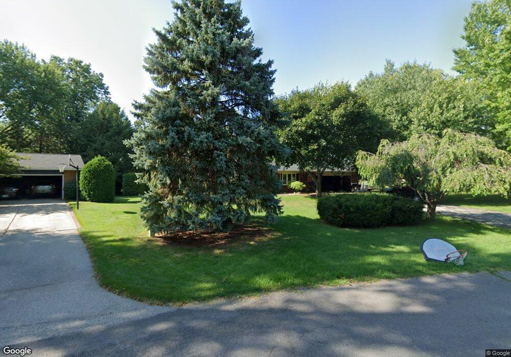
713 Royal Crest Dr Saint Joseph, MI 49085
Vineland NeighborhoodEstimated Value: $298,000 - $332,000
3
Beds
2
Baths
1,933
Sq Ft
$165/Sq Ft
Est. Value
About This Home
This home is located at 713 Royal Crest Dr, Saint Joseph, MI 49085 and is currently estimated at $319,237, approximately $165 per square foot. 713 Royal Crest Dr is a home located in Berrien County with nearby schools including Upton Middle School, St. Joseph High School, and Michigan Lutheran High School.
Ownership History
Date
Name
Owned For
Owner Type
Purchase Details
Closed on
Aug 20, 2022
Sold by
John Jedlicka
Bought by
Jedlicka Tyler and Jedlicka Ryan
Current Estimated Value
Purchase Details
Closed on
Feb 27, 2014
Sold by
Kambach James R and Kambach Bonnie A
Bought by
Jedlicka John
Home Financials for this Owner
Home Financials are based on the most recent Mortgage that was taken out on this home.
Original Mortgage
$118,795
Interest Rate
4.39%
Mortgage Type
VA
Purchase Details
Closed on
Nov 13, 1979
Purchase Details
Closed on
May 20, 1977
Purchase Details
Closed on
Dec 1, 1975
Create a Home Valuation Report for This Property
The Home Valuation Report is an in-depth analysis detailing your home's value as well as a comparison with similar homes in the area
Home Values in the Area
Average Home Value in this Area
Purchase History
| Date | Buyer | Sale Price | Title Company |
|---|---|---|---|
| Jedlicka Tyler | -- | -- | |
| Jedlicka John | $115,000 | First American Title | |
| -- | $46,000 | -- | |
| -- | $36,000 | -- | |
| -- | $29,500 | -- |
Source: Public Records
Mortgage History
| Date | Status | Borrower | Loan Amount |
|---|---|---|---|
| Previous Owner | Jedlicka John | $118,795 |
Source: Public Records
Tax History Compared to Growth
Tax History
| Year | Tax Paid | Tax Assessment Tax Assessment Total Assessment is a certain percentage of the fair market value that is determined by local assessors to be the total taxable value of land and additions on the property. | Land | Improvement |
|---|---|---|---|---|
| 2025 | $3,179 | $138,000 | $0 | $0 |
| 2024 | $1,920 | $135,600 | $0 | $0 |
| 2023 | $1,829 | $104,200 | $0 | $0 |
| 2022 | $1,742 | $98,500 | $0 | $0 |
| 2021 | $2,846 | $100,000 | $21,400 | $78,600 |
| 2020 | $2,496 | $95,700 | $0 | $0 |
| 2019 | $2,387 | $83,800 | $17,200 | $66,600 |
| 2018 | $2,282 | $83,800 | $0 | $0 |
| 2017 | $2,248 | $82,200 | $0 | $0 |
| 2016 | $2,197 | $80,100 | $0 | $0 |
| 2015 | $2,159 | $76,000 | $0 | $0 |
| 2014 | $1,444 | $73,400 | $0 | $0 |
Source: Public Records
Map
Nearby Homes
- 792 Lonesome Pine Trail
- 670 Marvin Ave
- 530 Manitou Rd
- 631 Marvin Ave
- 940 Vineland Rd
- 3215 Meade Ct
- 753 Lattimer Dr
- 317 Maiden Ln
- 2960 Niles Rd
- 1153 W Glenlord Rd Unit 22
- 649 Grant Ave
- 398121 Anchors Way
- 484 W Glenlord Rd
- 3553 Martin Path
- 3423 Niles Rd
- 2841 Niles Rd
- 4010 Deja Dr
- 3595 Martin Path
- 1481 Kristen Path
- 985 Jean Ann Dr
- 3532 Royal Crest Dr
- 707 Royal Crest Dr
- 3519 Brook Ct
- 3531 Brook Ct
- 720 Royal Crest Dr
- 705 Royal Crest Dr
- 3543 Brook Ct
- 702 Royal Crest Dr
- 741 Lonesome Pine Trail
- 689 Royal Crest Dr
- 703 Lonesome Pine Trail
- 761 Lonesome Pine Trail
- 715 Lonesome Pine Trail
- 690 Royal Crest Dr
- 687 Lonesome Pine Trail
- 850 Lonesome Pine Trail
- 3518 Brook Ct
- 3530 Brook Ct
- 746 Lonesome Pine Trail
- 762 Lonesome Pine Trail