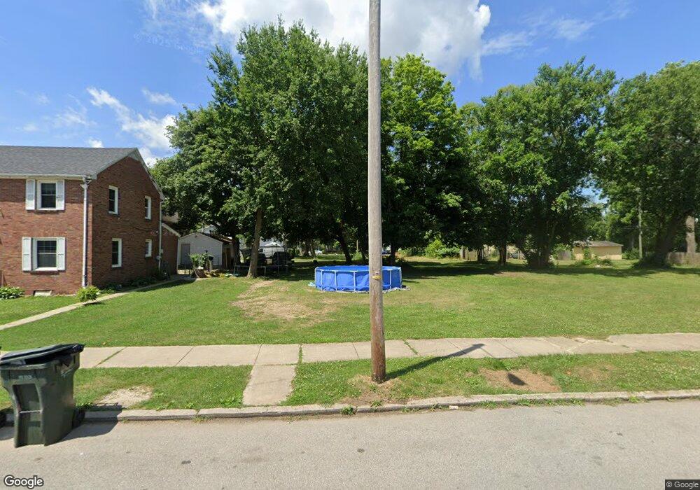
713 Sherman Ave South Bend, IN 46616
Near Northwest NeighborhoodEstimated Value: $59,000
3
Beds
2
Baths
1,848
Sq Ft
$32/Sq Ft
Est. Value
About This Home
This home is located at 713 Sherman Ave, South Bend, IN 46616 and is currently priced at $59,000, approximately $31 per square foot. 713 Sherman Ave is a home located in St. Joseph County with nearby schools including Muessel Primary Center, Clay Intermediate Center, and Jefferson Intermediate Traditional School.
Ownership History
Date
Name
Owned For
Owner Type
Purchase Details
Closed on
Feb 20, 2024
Sold by
Civil City Of South Bend
Bought by
Department Of Redevelopment Of The City Of So
Current Estimated Value
Purchase Details
Closed on
Feb 13, 2024
Sold by
Civil City Of South Bend
Bought by
Department Of Redevelopment Of The City Of So
Purchase Details
Closed on
Jan 11, 2017
Sold by
Saint Joseph County Auditor
Bought by
South Bend City Board Of Public Works
Purchase Details
Closed on
Jun 14, 2005
Sold by
713 Sherman Land Trust
Bought by
Hari Grace
Home Financials for this Owner
Home Financials are based on the most recent Mortgage that was taken out on this home.
Original Mortgage
$55,800
Interest Rate
8.1%
Mortgage Type
Adjustable Rate Mortgage/ARM
Purchase Details
Closed on
Mar 31, 2005
Sold by
New Horizons Outreach Ministry Inc
Bought by
713 Sherman Land Trust
Create a Home Valuation Report for This Property
The Home Valuation Report is an in-depth analysis detailing your home's value as well as a comparison with similar homes in the area
Home Values in the Area
Average Home Value in this Area
Purchase History
| Date | Buyer | Sale Price | Title Company |
|---|---|---|---|
| Department Of Redevelopment Of The City Of So | -- | None Listed On Document | |
| Department Of Redevelopment Of The City Of So | -- | None Listed On Document | |
| South Bend City Board Of Public Works | -- | -- | |
| Hari Grace | -- | None Available | |
| 713 Sherman Land Trust | -- | None Available |
Source: Public Records
Mortgage History
| Date | Status | Borrower | Loan Amount |
|---|---|---|---|
| Previous Owner | Hari Grace | $55,800 |
Source: Public Records
Tax History Compared to Growth
Tax History
| Year | Tax Paid | Tax Assessment Tax Assessment Total Assessment is a certain percentage of the fair market value that is determined by local assessors to be the total taxable value of land and additions on the property. | Land | Improvement |
|---|---|---|---|---|
| 2024 | -- | -- | -- | -- |
| 2022 | $0 | $0 | $0 | $0 |
| 2021 | $0 | $0 | $0 | $0 |
| 2020 | $0 | $0 | $0 | $0 |
| 2019 | $112 | $0 | $0 | $0 |
| 2018 | $0 | $0 | $0 | $0 |
| 2017 | $0 | $0 | $0 | $0 |
| 2016 | $136 | $2,700 | $2,700 | $0 |
| 2014 | $1,518 | $58,100 | $3,100 | $55,000 |
Source: Public Records
Map
Nearby Homes
- 1111 Lindsey St
- 745 Allen St
- 611 Blaine Ave
- 1209 Poplar St
- 715 Blaine Ave
- 524 Euclid Ave
- 529 Euclid Ave
- 617 N Walnut St
- 661 Lawndale Ave
- 1052 Portage Ave
- 901 Lawndale St
- 1040 Woodward Ave
- 1116 Allen St
- 418 Studebaker St
- 213 N Walnut St
- 1102 Diamond Ave
- 918 W Lasalle Ave
- 918 Leland Ave Unit 918 & 920 Leland Ave
- 1514 Van Buren St
- 322 Studebaker St