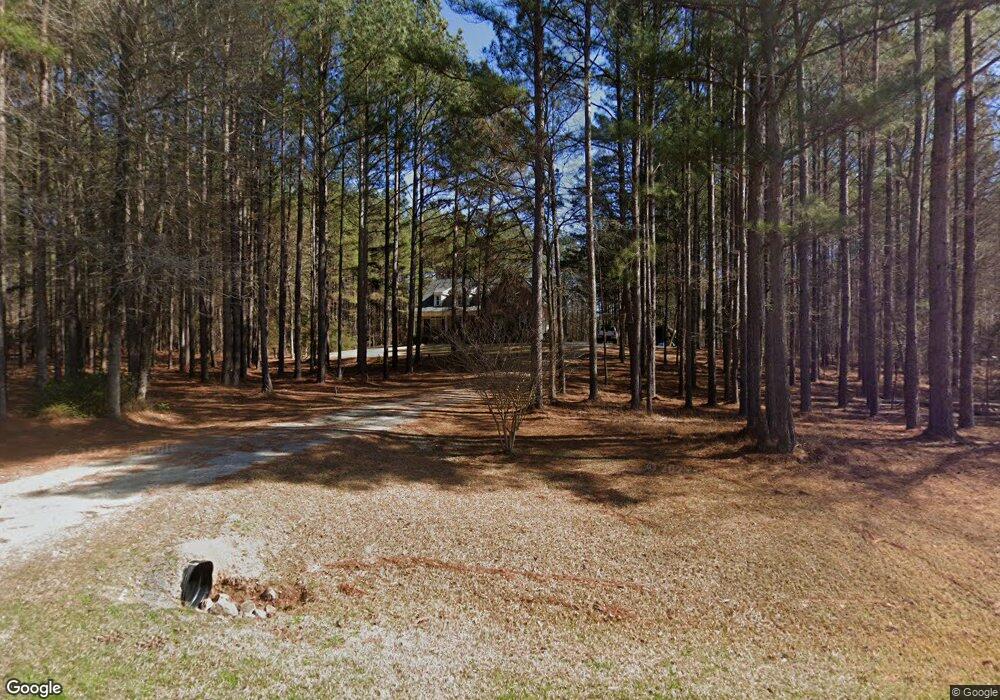
713 William Ave Appling, GA 30802
Estimated Value: $638,617 - $781,000
4
Beds
4
Baths
3,385
Sq Ft
$211/Sq Ft
Est. Value
About This Home
This home is located at 713 William Ave, Appling, GA 30802 and is currently estimated at $713,404, approximately $210 per square foot. 713 William Ave is a home located in Columbia County with nearby schools including North Columbia Elementary School, Harlem Middle School, and Suncoast Community High School.
Ownership History
Date
Name
Owned For
Owner Type
Purchase Details
Closed on
May 27, 2008
Sold by
Mcconnell Dev Co Inc
Bought by
Bill Easler Bldrs Inc
Current Estimated Value
Home Financials for this Owner
Home Financials are based on the most recent Mortgage that was taken out on this home.
Original Mortgage
$376,000
Interest Rate
6.02%
Mortgage Type
New Conventional
Create a Home Valuation Report for This Property
The Home Valuation Report is an in-depth analysis detailing your home's value as well as a comparison with similar homes in the area
Home Values in the Area
Average Home Value in this Area
Purchase History
| Date | Buyer | Sale Price | Title Company |
|---|---|---|---|
| Bill Easler Bldrs Inc | $75,000 | -- |
Source: Public Records
Mortgage History
| Date | Status | Borrower | Loan Amount |
|---|---|---|---|
| Previous Owner | Bill Easler Bldrs Inc | $376,000 |
Source: Public Records
Tax History Compared to Growth
Tax History
| Year | Tax Paid | Tax Assessment Tax Assessment Total Assessment is a certain percentage of the fair market value that is determined by local assessors to be the total taxable value of land and additions on the property. | Land | Improvement |
|---|---|---|---|---|
| 2025 | $6,063 | $256,311 | $48,947 | $207,364 |
| 2024 | $5,653 | $228,335 | $41,247 | $187,088 |
| 2023 | $5,653 | $222,795 | $41,247 | $181,548 |
| 2022 | $5,312 | $206,491 | $32,147 | $174,344 |
| 2021 | $5,013 | $186,455 | $26,147 | $160,308 |
| 2020 | $4,471 | $163,082 | $14,947 | $148,135 |
| 2019 | $4,552 | $166,001 | $14,947 | $151,054 |
| 2018 | $4,309 | $154,776 | $14,947 | $139,829 |
| 2017 | $4,157 | $148,798 | $14,947 | $133,851 |
| 2016 | $3,896 | $144,643 | $15,108 | $129,535 |
| 2015 | $3,726 | $138,070 | $15,108 | $122,962 |
| 2014 | $3,342 | $122,308 | $12,308 | $110,000 |
Source: Public Records
Map
Nearby Homes
- 719 William Ave
- 3199 Dozier Rd
- 2362 Pine Ridge Rd
- 2362 Pine Ridge Dr
- 6662 Shucraft Rd
- 411 Josh Christy Cove
- 2526 Scotts Ferry Rd
- 3256 Ray Owens Rd
- 250 Menros Way
- 1807 Smith Crawford Rd
- 3079 Marshall Rd
- 3085 Marshall Rd
- 00 Marshall Rd
- 7054 Rance Perry Rd
- 3256 Kelli Dr
- 211 Olmstead Ln
- 7068 Rance Perry Rd
- 3255 Jacqueline Dr
- 781 William Ave
- 707 William Ave
- 20 William Ave
- 2720 Dozier Rd
- 718 William Ave
- 712 William Ave
- 725 William Ave
- 724 William Ave
- 701 William Ave
- 2704 Dozier Rd
- 700 William Ave
- 706 William Ave
- 731 William Ave
- 736 William Ave
- 772 William Ave
- 760 William Ave
- 754 William Ave
- 2733 Dozier Rd
- 2703 Dozier Rd
- 766 William Ave