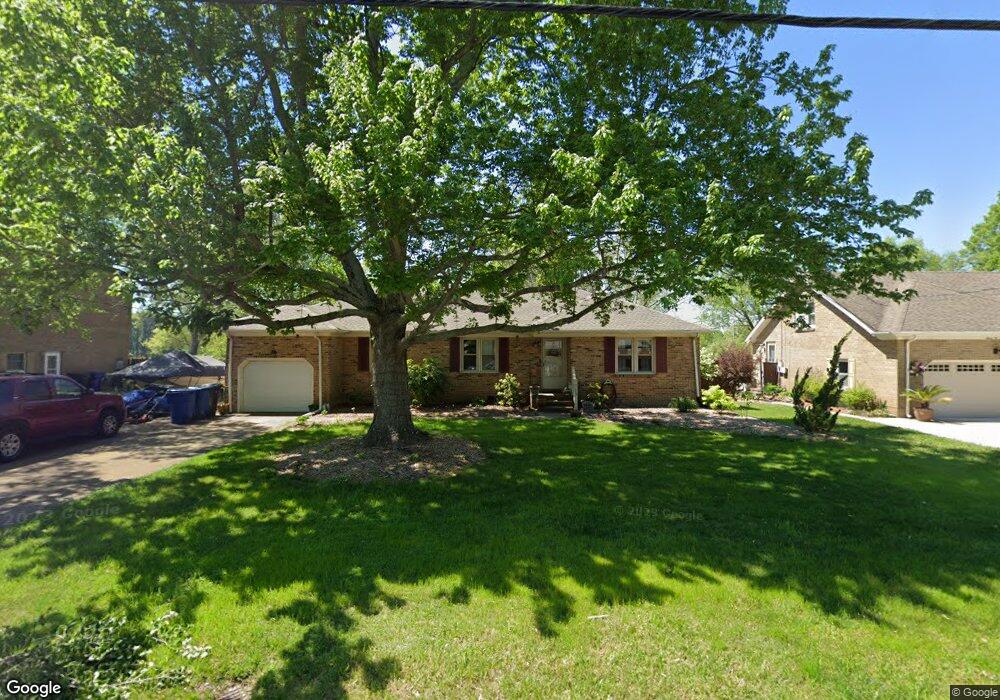
713 Woodstock Rd Virginia Beach, VA 23464
Estimated Value: $488,515 - $635,000
3
Beds
3
Baths
1,785
Sq Ft
$301/Sq Ft
Est. Value
About This Home
This home is located at 713 Woodstock Rd, Virginia Beach, VA 23464 and is currently estimated at $537,629, approximately $301 per square foot. 713 Woodstock Rd is a home located in Virginia Beach City with nearby schools including Woodstock Elementary School, Kempsville Middle School, and Kempsville High School.
Ownership History
Date
Name
Owned For
Owner Type
Purchase Details
Closed on
Oct 26, 2017
Sold by
Bennett Neil L and Bennett Patricia H
Bought by
Bennett Joshua A and Bennett Tonya N
Current Estimated Value
Home Financials for this Owner
Home Financials are based on the most recent Mortgage that was taken out on this home.
Original Mortgage
$315,000
Outstanding Balance
$262,831
Interest Rate
3.78%
Mortgage Type
New Conventional
Estimated Equity
$274,798
Create a Home Valuation Report for This Property
The Home Valuation Report is an in-depth analysis detailing your home's value as well as a comparison with similar homes in the area
Home Values in the Area
Average Home Value in this Area
Purchase History
| Date | Buyer | Sale Price | Title Company |
|---|---|---|---|
| Bennett Joshua A | $350,000 | Attorney |
Source: Public Records
Mortgage History
| Date | Status | Borrower | Loan Amount |
|---|---|---|---|
| Open | Bennett Joshua A | $315,000 |
Source: Public Records
Tax History Compared to Growth
Tax History
| Year | Tax Paid | Tax Assessment Tax Assessment Total Assessment is a certain percentage of the fair market value that is determined by local assessors to be the total taxable value of land and additions on the property. | Land | Improvement |
|---|---|---|---|---|
| 2025 | $4,126 | $432,000 | $215,000 | $217,000 |
| 2024 | $4,126 | $425,400 | $215,000 | $210,400 |
| 2023 | $4,060 | $410,100 | $205,000 | $205,100 |
| 2022 | $3,937 | $397,700 | $193,200 | $204,500 |
| 2021 | $3,382 | $341,600 | $144,400 | $197,200 |
| 2020 | $3,298 | $324,100 | $144,400 | $179,700 |
| 2019 | $3,204 | $311,800 | $144,400 | $167,400 |
| 2018 | $3,126 | $311,800 | $144,400 | $167,400 |
| 2017 | $2,970 | $296,300 | $144,400 | $151,900 |
| 2016 | $2,868 | $289,700 | $144,400 | $145,300 |
| 2015 | $2,706 | $273,300 | $144,400 | $128,900 |
| 2014 | $2,601 | $287,700 | $183,100 | $104,600 |
Source: Public Records
Map
Nearby Homes
- 5833 Sherman Ct
- 5805 Sherman Ct
- 5809 Sherman Ct
- 5817 Sherman Ct
- 5821 Sherman Ct
- 5825 Sherman Ct
- 5829 Sherman Ct
- 764 Woodstock Rd
- 738 Driskill Ct
- 952 Redwood Cir
- 928 Redwood Cir
- 568 Sterling Rd
- 940 Westerly Trail
- 5721 Oak Terrace Dr
- 540 Sterling Rd
- 969 Sunnyside Dr
- 1017 Sunnyside Dr
- 609 Avalon Ave
- 808 Raymond Ct
- 5708 Normandy Ave
- 709 Woodstock Rd
- 717 Woodstock Rd
- 705 Woodstock Rd
- 712 Woodstock Rd
- 721 Woodstock Rd
- 708 Woodstock Rd
- 5833 Sherman Ct Unit 8937090944865392187
- 5833 Sherman Ct Unit 14772887759626659719
- 5833 Sherman Ct Unit 5436271559364206408
- 5833 Sherman Ct Unit 8448376316338899688
- 716 Woodstock Rd
- 701 Woodstock Rd
- 700 Woodstock Rd
- 725 Woodstock Rd
- 728 Woodstock Rd
- 629 Woodstock Rd
- 5881 Oak Terrace Dr
- 624 Woodstock Rd
- 729 Woodstock Rd
- 732 Woodstock Rd