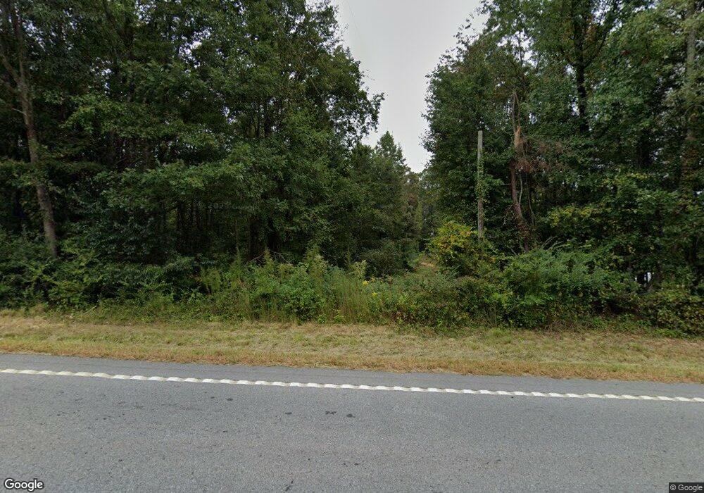
7130 Highway 115 W Cleveland, GA 30528
Estimated Value: $356,000 - $465,000
3
Beds
2
Baths
1,880
Sq Ft
$219/Sq Ft
Est. Value
About This Home
This home is located at 7130 Highway 115 W, Cleveland, GA 30528 and is currently estimated at $411,136, approximately $218 per square foot. 7130 Highway 115 W is a home located in White County with nearby schools including Tesnatee Gap Elementary (Old White County Intermediate), White County 9th Grade Academy, and Jack P. Nix Elementary School.
Ownership History
Date
Name
Owned For
Owner Type
Purchase Details
Closed on
Dec 26, 2024
Sold by
Gilreath Earl E
Bought by
Shelton Jana Sharee Trust and Jana Sharee Shelton
Current Estimated Value
Purchase Details
Closed on
May 12, 2017
Sold by
Cannon Cynthia G
Bought by
Gilreath Earl E
Purchase Details
Closed on
Mar 11, 2016
Sold by
Gilreath Earl E
Bought by
Gilreath Earl E and Cannon Cynthia G
Create a Home Valuation Report for This Property
The Home Valuation Report is an in-depth analysis detailing your home's value as well as a comparison with similar homes in the area
Home Values in the Area
Average Home Value in this Area
Purchase History
| Date | Buyer | Sale Price | Title Company |
|---|---|---|---|
| Shelton Jana Sharee Trust | -- | -- | |
| Gilreath Judy Ann Trust | -- | -- | |
| Gilreath Judy Ann | -- | -- | |
| Gilreath Earl E | -- | -- | |
| Gilreath Earl E | $161,840 | -- |
Source: Public Records
Tax History Compared to Growth
Tax History
| Year | Tax Paid | Tax Assessment Tax Assessment Total Assessment is a certain percentage of the fair market value that is determined by local assessors to be the total taxable value of land and additions on the property. | Land | Improvement |
|---|---|---|---|---|
| 2025 | $1,206 | $48,400 | $48,400 | $0 |
| 2024 | $1,206 | $130,408 | $84,028 | $46,380 |
| 2023 | $1,174 | $115,592 | $74,692 | $40,900 |
| 2022 | $1,091 | $105,564 | $70,024 | $35,540 |
| 2021 | $1,062 | $93,140 | $63,488 | $29,652 |
| 2020 | $1,042 | $86,440 | $58,956 | $27,484 |
| 2019 | $1,040 | $86,360 | $58,876 | $27,484 |
| 2018 | $1,034 | $86,360 | $58,876 | $27,484 |
| 2017 | $1,767 | $63,144 | $36,884 | $26,260 |
| 2016 | $481 | $63,144 | $36,884 | $26,260 |
| 2015 | $162 | $81,560 | $38,476 | $26,260 |
| 2014 | $757 | $75,970 | $0 | $0 |
Source: Public Records
Map
Nearby Homes
- LOT 24 Luther Palmer Rd
- 3395 Asbury Mill Rd
- 0 Valhalla Dr Unit 10621291
- 31 Valhalla Dr
- 0 Waterfall Dr Unit 9 10472076
- 966 Wahoo Creek Rd
- 987 Peaceful Valley Dr
- 635 White Oak Trail
- 499 Old Deer Path Way
- 174 Leighs Crossing
- 0 Westmoreland Rd Unit 10596625
- 4872 Highway 115 W
- 0 Asbury Mill Rd Unit 10599324
- 0 Asbury Mill Rd Unit 7644389
- 55 Santa Pera Dr
- 00 Deer Run Trail
- 86.99 Acres Mincie Mountain
- 6.2 Mincey Acres Dr
- 3.65AC Emory Stephens Rd
- 3.65 Ac Emory Stephens Rd
- 0 Ferguson Cir Unit 8095533
- 0 Ferguson Cir Unit 5769573
- 0 Ferguson Cir
- 0 Ferguson Cir Unit 8272729
- 0 Ferguson Cir Unit 8238795
- 280 Ferguson Cir
- 307 Ferguson Cir
- 4143 Asbury Mill Rd
- 4125 Asbury Mill Rd
- 120 Brown Rd
- 195 Ferguson Cir
- 4107 Asbury Mill Rd
- 4083 Asbury Mill Rd Unit 4
- 4083 Asbury Mill Rd
- 6954 Highway 115 W
- 4166 Asbury Mill Rd
- 76 Hawthorne Dr
- 6979 Highway 115 W
- 4075 Asbury Mill Rd
- 4043 Asbury Mill Rd
