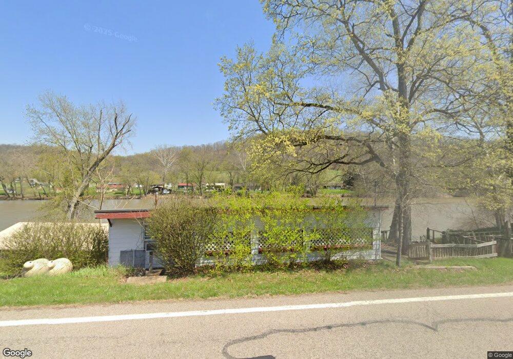
7130 N State Route 669 NW McConnelsville, OH 43756
Estimated Value: $77,000 - $111,000
2
Beds
1
Bath
700
Sq Ft
$129/Sq Ft
Est. Value
About This Home
This home is located at 7130 N State Route 669 NW, McConnelsville, OH 43756 and is currently estimated at $90,287, approximately $128 per square foot. 7130 N State Route 669 NW is a home with nearby schools including Morgan High School.
Ownership History
Date
Name
Owned For
Owner Type
Purchase Details
Closed on
May 5, 2020
Sold by
Weaver Jerald J and Weaver Kathy S
Bought by
Clair Brent A St and Clair Brittany N
Current Estimated Value
Home Financials for this Owner
Home Financials are based on the most recent Mortgage that was taken out on this home.
Original Mortgage
$34,000
Outstanding Balance
$27,114
Interest Rate
3.5%
Mortgage Type
New Conventional
Estimated Equity
$63,173
Purchase Details
Closed on
Jul 6, 1992
Sold by
Hanning Paul L
Bought by
Weaver Jerald J and Weaver Kathy S
Purchase Details
Closed on
Oct 1, 1987
Create a Home Valuation Report for This Property
The Home Valuation Report is an in-depth analysis detailing your home's value as well as a comparison with similar homes in the area
Home Values in the Area
Average Home Value in this Area
Purchase History
| Date | Buyer | Sale Price | Title Company |
|---|---|---|---|
| Clair Brent A St | $40,000 | None Available | |
| Weaver Jerald J | $16,900 | -- | |
| -- | $11,000 | -- |
Source: Public Records
Mortgage History
| Date | Status | Borrower | Loan Amount |
|---|---|---|---|
| Open | Clair Brent A St | $34,000 |
Source: Public Records
Tax History Compared to Growth
Tax History
| Year | Tax Paid | Tax Assessment Tax Assessment Total Assessment is a certain percentage of the fair market value that is determined by local assessors to be the total taxable value of land and additions on the property. | Land | Improvement |
|---|---|---|---|---|
| 2024 | $759 | $23,430 | $15,620 | $7,810 |
| 2023 | $759 | $18,930 | $13,300 | $5,630 |
| 2022 | $610 | $18,930 | $13,300 | $5,630 |
| 2021 | $616 | $18,930 | $13,300 | $5,630 |
| 2019 | $330 | $9,610 | $4,760 | $4,850 |
| 2018 | $318 | $9,610 | $4,760 | $4,850 |
| 2017 | $282 | $8,310 | $3,574 | $4,736 |
| 2016 | $283 | $8,310 | $3,574 | $4,736 |
| 2015 | $282 | $8,310 | $3,574 | $4,736 |
| 2014 | -- | $8,310 | $3,574 | $4,736 |
| 2013 | $292 | $8,310 | $3,574 | $4,736 |
Source: Public Records
Map
Nearby Homes
- 3630 Leisure Dr NW
- 0 Leisure Dr NW Unit Lot 2
- 0 Leisure Dr NW Unit Lot 4
- Lot #2 Leisure Dr
- 5975 Helaman Ln
- 8752 N Rokeby Dr NW
- 8627 N State Route 376 NW
- 9371 Mautz Dr
- 9911 N River Rd NW
- 95 Sunset Dr
- 774 N Kennebec Ave
- 0 Echo Hill Rd
- 10185 Ohio 376
- 284 N Kennebec Ave
- 262 N 5th St
- 160 S Main St
- 10112 S River Rd NW
- 10115 Old River Rd
- 8700 Rural Dale Rd
- 9390 Shady Ln
- 7241 N State Route 60 NW
- 7264 Austin Dr NW
- 7264 Austin Dr NW
- 7243 N State Route 60 NW
- 7239 N State Route 60 NW
- 7235 Austin Dr NW
- 7266 Austin Dr NW
- 6890 N State Route 669 NW
- 7276 Austin Dr NW
- 7276 N State Route 60 NW
- 7293 Austin Dr NW
- 6999 N State Route 60 NW
- 7290 Austin Dr NW
- 7290 Austin Dr NW
- 6977 N State Route 60 NW
- 7033 N State Route 60 NW
- 7033 N State Route 60 NW
- 6935 N State Route 60 NW
- 7309 Austin Dr NW
- 6988 N State Route 60 NW