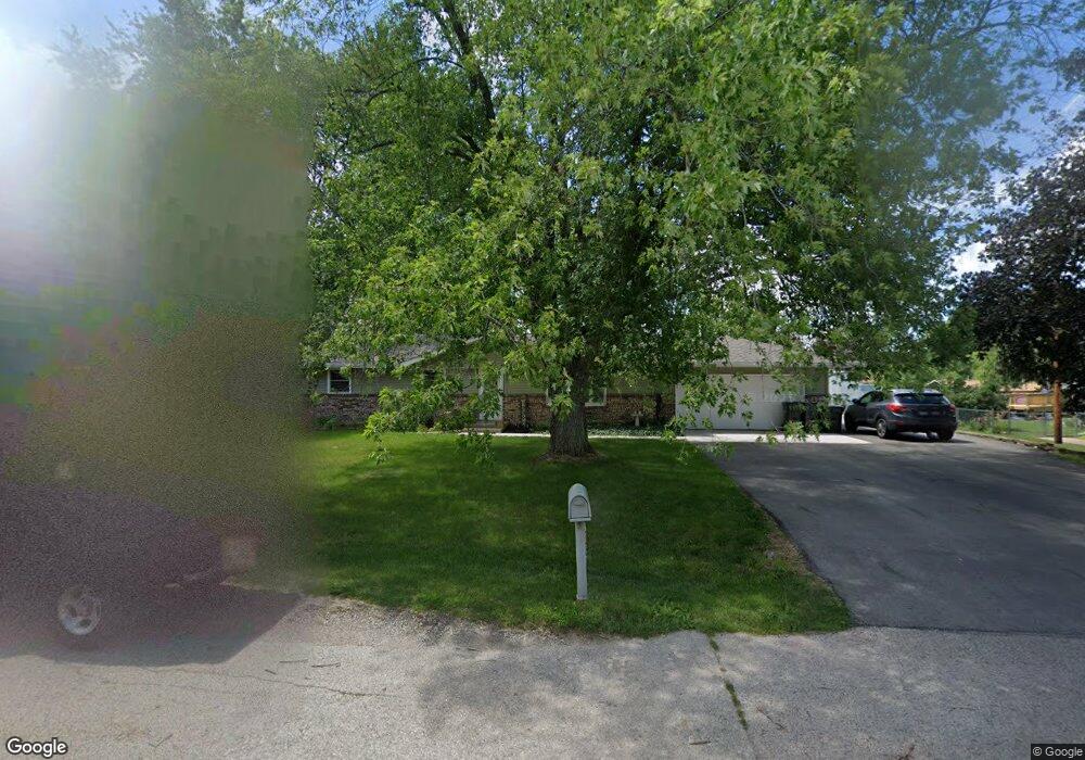
7131 Cindy Dr Rockford, IL 61109
Estimated Value: $177,000 - $223,000
3
Beds
2
Baths
1,172
Sq Ft
$172/Sq Ft
Est. Value
About This Home
This home is located at 7131 Cindy Dr, Rockford, IL 61109 and is currently estimated at $202,053, approximately $172 per square foot. 7131 Cindy Dr is a home located in Winnebago County with nearby schools including Arthur Froberg Elementary School, Bernard W. Flinn Middle School, and Jefferson High School.
Ownership History
Date
Name
Owned For
Owner Type
Purchase Details
Closed on
Jan 27, 2025
Sold by
Keller Teri A
Bought by
Keller Kevin K
Current Estimated Value
Home Financials for this Owner
Home Financials are based on the most recent Mortgage that was taken out on this home.
Original Mortgage
$50,000
Outstanding Balance
$48,753
Interest Rate
5.75%
Mortgage Type
New Conventional
Estimated Equity
$153,300
Purchase Details
Closed on
May 22, 1997
Bought by
Keller Kevin K and Keller Teri A
Create a Home Valuation Report for This Property
The Home Valuation Report is an in-depth analysis detailing your home's value as well as a comparison with similar homes in the area
Purchase History
| Date | Buyer | Sale Price | Title Company |
|---|---|---|---|
| Keller Kevin K | -- | None Listed On Document | |
| Keller Kevin K | -- | None Listed On Document | |
| Keller Kevin K | $78,000 | -- |
Source: Public Records
Mortgage History
| Date | Status | Borrower | Loan Amount |
|---|---|---|---|
| Open | Keller Kevin K | $50,000 |
Source: Public Records
Tax History
| Year | Tax Paid | Tax Assessment Tax Assessment Total Assessment is a certain percentage of the fair market value that is determined by local assessors to be the total taxable value of land and additions on the property. | Land | Improvement |
|---|---|---|---|---|
| 2024 | $3,697 | $57,759 | $8,451 | $49,308 |
| 2023 | $3,429 | $50,930 | $7,452 | $43,478 |
| 2022 | $3,312 | $45,522 | $6,661 | $38,861 |
| 2021 | $3,211 | $41,741 | $6,108 | $35,633 |
| 2020 | $3,100 | $39,460 | $5,774 | $33,686 |
| 2019 | $2,533 | $32,320 | $5,503 | $26,817 |
| 2018 | $2,557 | $37,501 | $5,187 | $32,314 |
| 2017 | $2,563 | $35,889 | $4,964 | $30,925 |
| 2016 | $2,595 | $35,216 | $4,871 | $30,345 |
| 2015 | $2,503 | $29,004 | $4,871 | $24,133 |
| 2014 | $2,649 | $31,646 | $6,079 | $25,567 |
Source: Public Records
Map
Nearby Homes
- 1988 S Bend Rd
- 6962 Ralph Rd
- 1949 Will James Rd
- 1884 Will James Rd
- 42XX Baxter Rd
- 6302 Winchester Dr
- 6137 11th St
- 5860 Kirkwood Cir
- 2529 Sierra Dr
- 2721 Cascade Dr
- 5344 11th St
- 5209 Grand Cape Rd
- 5094 Grand Cape Rd
- 1209 39th Ave
- 3071 Breezeway Dr
- 5588 35th St
- 4900 Lincliff Dr
- 4720 Lincliff Dr
- 3445 Zircon Ln
- 4446 Scarlet Oak Dr
Your Personal Tour Guide
Ask me questions while you tour the home.