7131 Donegal Dr Onsted, MI 49265
Estimated Value: $622,190 - $810,000
4
Beds
4
Baths
2,326
Sq Ft
$298/Sq Ft
Est. Value
About This Home
This home is located at 7131 Donegal Dr, Onsted, MI 49265 and is currently estimated at $694,063, approximately $298 per square foot. 7131 Donegal Dr is a home located in Lenawee County with nearby schools including Onsted Elementary School, Onsted Middle School, and Onsted Community High School.
Ownership History
Date
Name
Owned For
Owner Type
Purchase Details
Closed on
Sep 6, 2013
Sold by
Copus Properties Llc
Bought by
Copus Linda and Copus Donald
Current Estimated Value
Home Financials for this Owner
Home Financials are based on the most recent Mortgage that was taken out on this home.
Original Mortgage
$263,225
Interest Rate
3.37%
Mortgage Type
Adjustable Rate Mortgage/ARM
Purchase Details
Closed on
Mar 7, 2011
Sold by
Copus Donald and Copus Linda
Bought by
Copus Properties Llc
Purchase Details
Closed on
Sep 30, 2004
Bought by
Copus Linda and Copus Donald
Create a Home Valuation Report for This Property
The Home Valuation Report is an in-depth analysis detailing your home's value as well as a comparison with similar homes in the area
Home Values in the Area
Average Home Value in this Area
Purchase History
| Date | Buyer | Sale Price | Title Company |
|---|---|---|---|
| Copus Linda | -- | None Available | |
| Copus Properties Llc | -- | None Available | |
| Copus Linda | $380,000 | -- |
Source: Public Records
Mortgage History
| Date | Status | Borrower | Loan Amount |
|---|---|---|---|
| Previous Owner | Copus Linda | $263,225 |
Source: Public Records
Tax History Compared to Growth
Tax History
| Year | Tax Paid | Tax Assessment Tax Assessment Total Assessment is a certain percentage of the fair market value that is determined by local assessors to be the total taxable value of land and additions on the property. | Land | Improvement |
|---|---|---|---|---|
| 2025 | $10,324 | $292,800 | $0 | $0 |
| 2023 | $2,606 | $265,200 | $0 | $0 |
| 2022 | $9,245 | $227,000 | $0 | $0 |
| 2021 | $9,169 | $220,600 | $0 | $0 |
| 2020 | $8,949 | $220,900 | $0 | $0 |
| 2019 | $548,016 | $215,500 | $0 | $0 |
| 2018 | $8,391 | $215,494 | $0 | $0 |
| 2017 | $8,101 | $209,927 | $0 | $0 |
| 2016 | $8,008 | $199,456 | $0 | $0 |
| 2014 | -- | $178,877 | $0 | $0 |
Source: Public Records
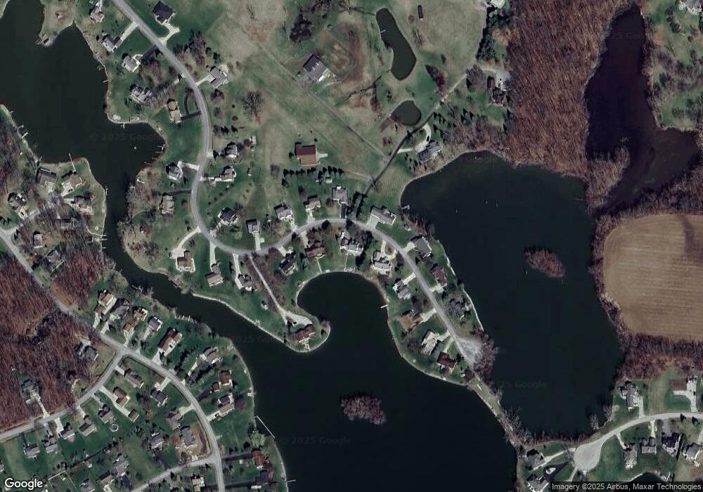
Map
Nearby Homes
- 9015 Kingsley Dr
- 7329 Norfolk Dr
- 8924 Sussex Ct
- 8899 Sussex Ct
- 8861 Sussex Ct
- 7000 Surrey Dr
- LOTS 39/40 Odowling Dr
- 7966 Kingsley Dr
- 7191 Hickory Ln
- 7596 Wadding Dr
- 8710 Pentecost Hwy
- 7574 Sherlock Dr
- 7604 Sherlock Dr
- 7831 Barron Ct
- 7905 Wadding Dr
- 8085 Wadding Dr
- 8443 Stephenson Rd
- 7697 Dalton Rd
- 1193 Sand Lake Hwy
- 8300 Blk Irish Mist
- 7153 Donegal Dr
- 7109 Donegal Dr
- 7128 Donegal Dr
- 7134 Donegal Dr
- 7140 Donegal Dr
- 7106 Donegal Dr
- 7100 Donegal Dr
- 7100 Donegal Dr Unit DONEGAL
- 7175 Donegal Dr
- 7087 Donegal Dr
- 7166 Donegal Dr
- 7070 Donegal Dr
- 7197 Donegal Dr
- 7065 Donegal Dr
- 7200 Donegal Dr
- 7032 Donegal Dr
- 7239 Donegal Dr
- 7043 Donegal Dr
- 7251 Donegal Dr
- 7273 Donegal Dr