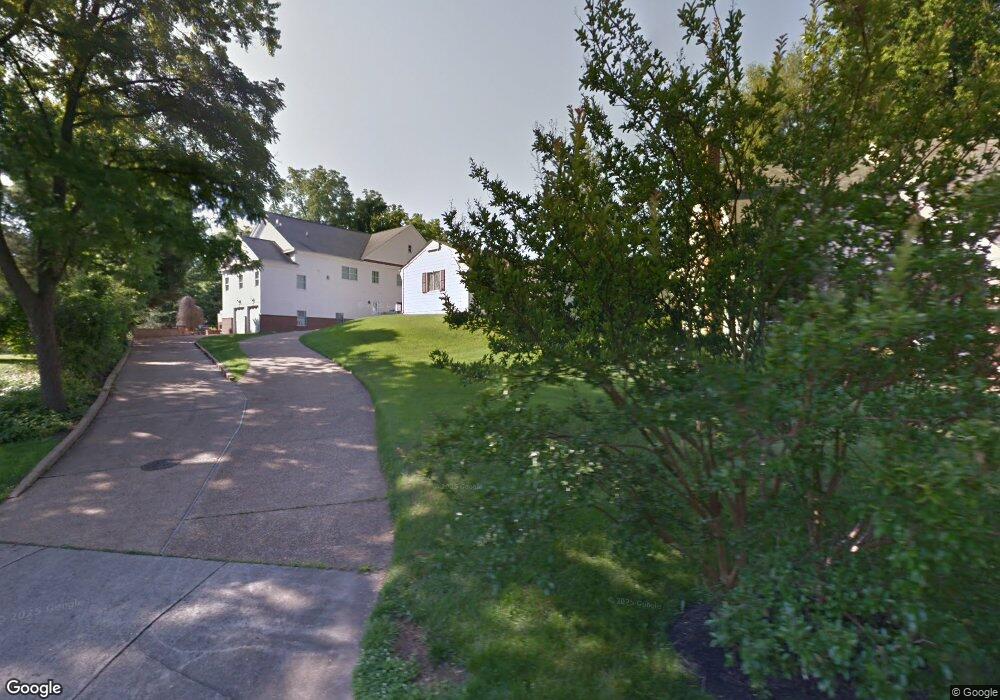
7131 Merrimac Dr McLean, VA 22101
Estimated Value: $1,249,071 - $1,413,000
3
Beds
2
Baths
1,395
Sq Ft
$953/Sq Ft
Est. Value
About This Home
This home is located at 7131 Merrimac Dr, McLean, VA 22101 and is currently estimated at $1,328,768, approximately $952 per square foot. 7131 Merrimac Dr is a home located in Fairfax County with nearby schools including Longfellow Middle School, The Langley School, and Country Day School.
Ownership History
Date
Name
Owned For
Owner Type
Purchase Details
Closed on
Dec 23, 2002
Sold by
Carrick Lucy
Bought by
Carter Harold
Current Estimated Value
Home Financials for this Owner
Home Financials are based on the most recent Mortgage that was taken out on this home.
Original Mortgage
$102,000
Outstanding Balance
$43,120
Interest Rate
6.02%
Mortgage Type
New Conventional
Estimated Equity
$1,285,648
Create a Home Valuation Report for This Property
The Home Valuation Report is an in-depth analysis detailing your home's value as well as a comparison with similar homes in the area
Home Values in the Area
Average Home Value in this Area
Purchase History
| Date | Buyer | Sale Price | Title Company |
|---|---|---|---|
| Carter Harold | $167,500 | -- |
Source: Public Records
Mortgage History
| Date | Status | Borrower | Loan Amount |
|---|---|---|---|
| Open | Carter Harold | $102,000 |
Source: Public Records
Tax History Compared to Growth
Tax History
| Year | Tax Paid | Tax Assessment Tax Assessment Total Assessment is a certain percentage of the fair market value that is determined by local assessors to be the total taxable value of land and additions on the property. | Land | Improvement |
|---|---|---|---|---|
| 2025 | $11,922 | $1,036,920 | $706,000 | $330,920 |
| 2024 | $11,922 | $1,009,090 | $687,000 | $322,090 |
| 2023 | $11,587 | $1,006,230 | $687,000 | $319,230 |
| 2022 | $9,465 | $827,750 | $510,000 | $317,750 |
| 2021 | $0 | $757,080 | $506,000 | $251,080 |
| 2020 | $9,014 | $747,080 | $496,000 | $251,080 |
| 2019 | $9,378 | $705,080 | $454,000 | $251,080 |
| 2018 | $9,258 | $696,080 | $445,000 | $251,080 |
| 2017 | $0 | $696,080 | $445,000 | $251,080 |
| 2016 | -- | $673,420 | $432,000 | $241,420 |
| 2015 | -- | $673,420 | $432,000 | $241,420 |
| 2014 | -- | $643,130 | $411,000 | $232,130 |
Source: Public Records
Map
Nearby Homes
- 1353 Monitor Ln
- 1459 Dewberry Ct
- 1480 Evans Farm Dr Unit 202
- 7351 Nicole Marie Ct
- 6941 Pine Crest Ave
- 1492 Evans Farm Dr
- 1496 Evans Farm Dr
- 1456 Harvest Crossing Dr
- 7054 Liberty Ln
- 1410 Cedar Ave
- 7040 Liberty Ln
- 7049 Liberty Ln
- 7043 Liberty Ln
- 1632 Chain Bridge Rd
- 1626 Chain Bridge Rd
- 1622 Chain Bridge Rd
- 1620 Chain Bridge Rd
- 1221 Mottrom Dr
- 1519 Spring Vale Ave
- 6911 Elm St
- 7129 Merrimac Dr
- 7137 Merrimac Dr
- 7127 Merrimac Dr
- 1600 Dolley Madison Blvd
- 1606 Dolley Madison Blvd
- 7125 Merrimac Dr
- 7130 Merrimac Dr
- 7128 Merrimac Dr
- 7126 Merrimac Dr
- 7123 Merrimac Dr
- 1362 Monitor Ln
- 1364 Monitor Ln
- 7136 Merrimac Dr
- 1430 Mayflower Dr
- 1428 Mayflower Dr
- 7120 Merrimac Dr
- 7121 Merrimac Dr
- 1432 Mayflower Dr
- 1426 Mayflower Dr
- 7242 Evans Mill Rd