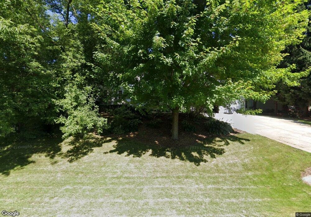
7131 S Hill Rd de Forest, WI 53532
Estimated Value: $547,000 - $657,088
6
Beds
4
Baths
3,318
Sq Ft
$180/Sq Ft
Est. Value
About This Home
This home is located at 7131 S Hill Rd, de Forest, WI 53532 and is currently estimated at $597,522, approximately $180 per square foot. 7131 S Hill Rd is a home located in Dane County with nearby schools including Yahara Elementary School, DeForest Middle School, and DeForest High School.
Ownership History
Date
Name
Owned For
Owner Type
Purchase Details
Closed on
Mar 31, 2010
Sold by
Howe Christopher J and Drouin Howe Marcia J
Bought by
Juedes Shane D and Juedes Melanie L
Current Estimated Value
Home Financials for this Owner
Home Financials are based on the most recent Mortgage that was taken out on this home.
Original Mortgage
$277,400
Outstanding Balance
$184,391
Interest Rate
4.96%
Mortgage Type
Purchase Money Mortgage
Estimated Equity
$413,131
Create a Home Valuation Report for This Property
The Home Valuation Report is an in-depth analysis detailing your home's value as well as a comparison with similar homes in the area
Home Values in the Area
Average Home Value in this Area
Purchase History
| Date | Buyer | Sale Price | Title Company |
|---|---|---|---|
| Juedes Shane D | $292,000 | None Available |
Source: Public Records
Mortgage History
| Date | Status | Borrower | Loan Amount |
|---|---|---|---|
| Open | Juedes Shane D | $277,400 |
Source: Public Records
Tax History Compared to Growth
Tax History
| Year | Tax Paid | Tax Assessment Tax Assessment Total Assessment is a certain percentage of the fair market value that is determined by local assessors to be the total taxable value of land and additions on the property. | Land | Improvement |
|---|---|---|---|---|
| 2024 | $8,596 | $507,600 | $63,800 | $443,800 |
| 2023 | $8,214 | $507,600 | $63,800 | $443,800 |
| 2021 | $6,691 | $344,400 | $51,700 | $292,700 |
| 2020 | $6,881 | $344,400 | $51,700 | $292,700 |
| 2019 | $6,737 | $344,400 | $51,700 | $292,700 |
| 2018 | $6,010 | $344,400 | $51,700 | $292,700 |
| 2017 | $5,777 | $344,400 | $51,700 | $292,700 |
| 2016 | $6,060 | $290,700 | $48,300 | $242,400 |
| 2015 | $5,981 | $290,700 | $48,300 | $242,400 |
| 2014 | $5,729 | $290,700 | $48,300 | $242,400 |
| 2013 | $5,499 | $290,700 | $48,300 | $242,400 |
Source: Public Records
Map
Nearby Homes
- 329 Meadow Ln
- 33.5 Ac River Rd
- L1 Liuna Way
- 4615 Bellflower Dr
- 396 Campbell Hill Ct
- 392 Campbell Hill Ct
- 4054 Great Bridge Dr
- 394 Blackberry Ln
- 322 Yorktown Rd
- 809 Southbound Dr
- 7748 Stonecrop Way
- 216 Sanford Dr
- 7747 Stonecrop Way
- 409 Rosemal Ln
- 7802 Bluestem Trail
- 7794 Bluestem Trail
- 7786 Bluestem Trail
- 7707 Stonecrop Way
- 7702 Stonecrop Way
- 7701 Stonecrop Way
- 4530 S Hill Ct
- 7137 S Hill Rd
- 4534 S Hill Ct
- 4523 Meadowwood Cir
- 7130 S Hill Rd
- 4517 Meadowwood Cir
- 4529 Meadowwood Cir
- 7124 S Hill Rd
- 4533 S Hill Ct
- 4535 Meadowwood Cir
- 7118 S Hill Rd
- 7138 S Hill Rd
- 4541 S Hill Ct
- 4537 S Hill Ct
- 7142 S Hill Rd
- 7112 S Hill Rd
- 4537 Meadowwood Cir
- 4520 Meadowwood Cir
- 7113 S Hill Rd
- 7100 Prairie Ct
