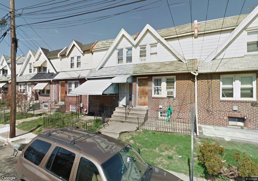
7131 Seaford Rd Upper Darby, PA 19082
Estimated Value: $123,053 - $127,000
2
Beds
1
Bath
936
Sq Ft
$134/Sq Ft
Est. Value
About This Home
This home is located at 7131 Seaford Rd, Upper Darby, PA 19082 and is currently estimated at $125,513, approximately $134 per square foot. 7131 Seaford Rd is a home located in Delaware County with nearby schools including Upper Darby High School, Vision Academy Charter School, and Lansdowne Friends School.
Ownership History
Date
Name
Owned For
Owner Type
Purchase Details
Closed on
May 15, 1996
Sold by
Zahner Thomas and Zahner Irene
Bought by
Mooney Christina M
Current Estimated Value
Home Financials for this Owner
Home Financials are based on the most recent Mortgage that was taken out on this home.
Original Mortgage
$35,600
Outstanding Balance
$1,986
Interest Rate
7.77%
Mortgage Type
Purchase Money Mortgage
Estimated Equity
$123,527
Create a Home Valuation Report for This Property
The Home Valuation Report is an in-depth analysis detailing your home's value as well as a comparison with similar homes in the area
Home Values in the Area
Average Home Value in this Area
Purchase History
| Date | Buyer | Sale Price | Title Company |
|---|---|---|---|
| Mooney Christina M | $41,900 | -- |
Source: Public Records
Mortgage History
| Date | Status | Borrower | Loan Amount |
|---|---|---|---|
| Open | Mooney Christina M | $35,600 |
Source: Public Records
Tax History Compared to Growth
Tax History
| Year | Tax Paid | Tax Assessment Tax Assessment Total Assessment is a certain percentage of the fair market value that is determined by local assessors to be the total taxable value of land and additions on the property. | Land | Improvement |
|---|---|---|---|---|
| 2025 | $2,616 | $61,850 | $13,420 | $48,430 |
| 2024 | $2,616 | $61,850 | $13,420 | $48,430 |
| 2023 | $2,591 | $61,850 | $13,420 | $48,430 |
| 2022 | $2,521 | $61,850 | $13,420 | $48,430 |
| 2021 | $3,400 | $61,850 | $13,420 | $48,430 |
| 2020 | $2,753 | $42,560 | $12,200 | $30,360 |
| 2019 | $2,705 | $42,560 | $12,200 | $30,360 |
| 2018 | $2,674 | $42,560 | $0 | $0 |
| 2017 | $2,604 | $42,560 | $0 | $0 |
| 2016 | $238 | $42,560 | $0 | $0 |
| 2015 | $238 | $42,560 | $0 | $0 |
| 2014 | $238 | $42,560 | $0 | $0 |
Source: Public Records
Map
Nearby Homes
- 7129 Seaford Rd
- 7123 Seaford Rd
- 7026 Atlantic Ave
- 726 Copley Rd
- 7162 Radbourne Rd
- 7000 Greenwood Ave
- 7046 Radbourne Rd
- 7155 Radbourne Rd
- 7042 Clinton Rd
- 6858 Clover Ln
- 669 Long Ln
- 7216 Clinton Rd
- 6997 Guilford Rd
- 7229 Clinton Rd
- 607 Littlecroft Rd
- 608 Pembroke Ave
- 558 Snowden Rd
- 540 Snowden Rd
- 703 Briarcliff Rd
- 7154 Ruskin Ln
- 7133 Seaford Rd
- 7135 Seaford Rd
- 7127 Seaford Rd
- 7137 Seaford Rd
- 7125 Seaford Rd
- 7139 Seaford Rd
- 7132 Stockley Rd
- 7134 Stockley Rd
- 7130 Stockley Rd
- 7136 Stockley Rd
- 7128 Stockley Rd
- 7121 Seaford Rd
- 7141 Seaford Rd
- 7126 Stockley Rd
- 7140 Stockley Rd
- 7143 Seaford Rd
- 7124 Stockley Rd
- 7142 Stockley Rd
- 0 Stockley Ave
- 7122 Stockley Rd