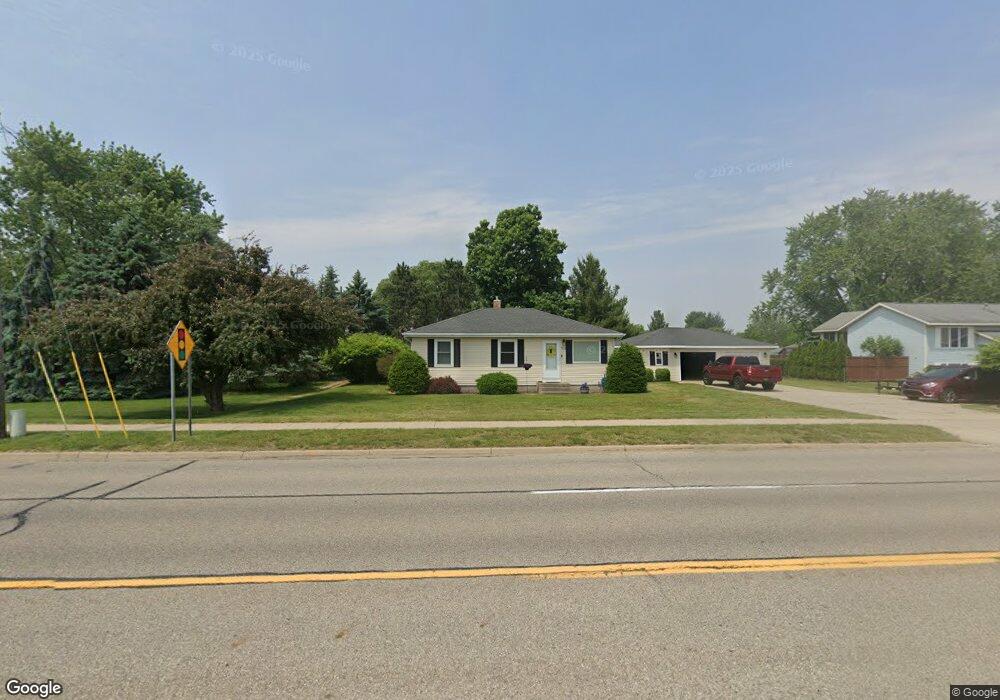
7133 28th Ave Hudsonville, MI 49426
Estimated Value: $318,000 - $354,695
3
Beds
1
Bath
1,421
Sq Ft
$235/Sq Ft
Est. Value
About This Home
This home is located at 7133 28th Ave, Hudsonville, MI 49426 and is currently estimated at $333,424, approximately $234 per square foot. 7133 28th Ave is a home located in Ottawa County with nearby schools including Baldwin Street Middle School, Hudsonville Freshman Campus, and Hudsonville High School.
Ownership History
Date
Name
Owned For
Owner Type
Purchase Details
Closed on
May 5, 2015
Sold by
Snip Andrew and Snip Marjorie
Bought by
Ostroskie Kimberly and Ostroskie Christopher
Current Estimated Value
Home Financials for this Owner
Home Financials are based on the most recent Mortgage that was taken out on this home.
Original Mortgage
$129,980
Outstanding Balance
$100,023
Interest Rate
3.65%
Mortgage Type
New Conventional
Estimated Equity
$233,401
Purchase Details
Closed on
Jun 30, 2011
Sold by
Blackmer Kevin D and Crandell Blackmer Alexis N
Bought by
Snip Andrew and Snip Marjorie
Home Financials for this Owner
Home Financials are based on the most recent Mortgage that was taken out on this home.
Original Mortgage
$106,236
Interest Rate
4.63%
Mortgage Type
FHA
Purchase Details
Closed on
Sep 19, 2007
Sold by
Blackmer Kevin D and Crandell Blackmer Alexis
Bought by
Board Of County Road Commissioners Of Th
Create a Home Valuation Report for This Property
The Home Valuation Report is an in-depth analysis detailing your home's value as well as a comparison with similar homes in the area
Home Values in the Area
Average Home Value in this Area
Purchase History
| Date | Buyer | Sale Price | Title Company |
|---|---|---|---|
| Ostroskie Kimberly | $134,000 | Chicago Title | |
| Snip Andrew | $109,000 | First American Title Ins Co | |
| Board Of County Road Commissioners Of Th | $2,508 | None Available |
Source: Public Records
Mortgage History
| Date | Status | Borrower | Loan Amount |
|---|---|---|---|
| Open | Ostroskie Kimberly | $129,980 | |
| Previous Owner | Snip Andrew | $106,236 |
Source: Public Records
Tax History Compared to Growth
Tax History
| Year | Tax Paid | Tax Assessment Tax Assessment Total Assessment is a certain percentage of the fair market value that is determined by local assessors to be the total taxable value of land and additions on the property. | Land | Improvement |
|---|---|---|---|---|
| 2025 | $2,278 | $149,700 | $0 | $0 |
| 2024 | $1,971 | $123,100 | $0 | $0 |
| 2023 | $1,882 | $110,300 | $0 | $0 |
| 2022 | $2,069 | $97,500 | $0 | $0 |
| 2021 | $2,010 | $92,400 | $0 | $0 |
| 2020 | $1,989 | $79,400 | $0 | $0 |
| 2019 | $1,992 | $77,000 | $0 | $0 |
| 2018 | $1,852 | $73,600 | $0 | $0 |
| 2017 | $1,818 | $73,200 | $0 | $0 |
| 2016 | $1,783 | $65,100 | $0 | $0 |
| 2015 | $1,380 | $61,900 | $0 | $0 |
| 2014 | $1,380 | $54,700 | $0 | $0 |
Source: Public Records
Map
Nearby Homes
- 2921 N Wentward Ct
- 6760 N Wentward Ct
- 2698 Cedargrove N
- 6714 Cedar Grove W
- 7313 Valhalla Dr
- 6724 28th Ave
- 2323 Rosewood St
- 2194 Oak Hollow Dr
- 7490 N Garden Ct
- 3204 Port Sheldon St
- V/L Port Sheldon St
- 3528 Tearose Dr
- 7502 22nd Ave
- 2101 Rosewood St
- 6340 Summer Dr
- 2072 Oak Hollow Dr
- 2934 Parkside Dr Unit 54
- 3544 Nobb Hill Dr
- 3617 Teton Dr
- 7165 Keystone Ct