7133 Hill Rd Butler, OH 44822
Estimated Value: $196,393 - $336,000
3
Beds
2
Baths
2,400
Sq Ft
$111/Sq Ft
Est. Value
About This Home
This home is located at 7133 Hill Rd, Butler, OH 44822 and is currently estimated at $266,348, approximately $110 per square foot. 7133 Hill Rd is a home located in Richland County with nearby schools including Clear Fork High School.
Ownership History
Date
Name
Owned For
Owner Type
Purchase Details
Closed on
Sep 24, 2021
Sold by
Crowner Charles L
Bought by
Crowner James L
Current Estimated Value
Home Financials for this Owner
Home Financials are based on the most recent Mortgage that was taken out on this home.
Original Mortgage
$133,000
Outstanding Balance
$114,389
Interest Rate
2.8%
Mortgage Type
Credit Line Revolving
Estimated Equity
$151,959
Purchase Details
Closed on
Aug 14, 2008
Sold by
Smith Eileen G
Bought by
Crowner Charles L
Home Financials for this Owner
Home Financials are based on the most recent Mortgage that was taken out on this home.
Original Mortgage
$90,000
Interest Rate
6.42%
Mortgage Type
Purchase Money Mortgage
Create a Home Valuation Report for This Property
The Home Valuation Report is an in-depth analysis detailing your home's value as well as a comparison with similar homes in the area
Home Values in the Area
Average Home Value in this Area
Purchase History
| Date | Buyer | Sale Price | Title Company |
|---|---|---|---|
| Crowner James L | $133,000 | Chicago Title | |
| Crowner James L | -- | New Title Company Name | |
| Crowner Charles L | $112,500 | Park Title Agency |
Source: Public Records
Mortgage History
| Date | Status | Borrower | Loan Amount |
|---|---|---|---|
| Open | Crowner James L | $133,000 | |
| Closed | Crowner James L | $133,000 | |
| Previous Owner | Crowner Charles L | $90,000 |
Source: Public Records
Tax History Compared to Growth
Tax History
| Year | Tax Paid | Tax Assessment Tax Assessment Total Assessment is a certain percentage of the fair market value that is determined by local assessors to be the total taxable value of land and additions on the property. | Land | Improvement |
|---|---|---|---|---|
| 2024 | $1,938 | $62,710 | $11,250 | $51,460 |
| 2023 | $1,938 | $62,710 | $11,250 | $51,460 |
| 2022 | $1,627 | $49,390 | $10,680 | $38,710 |
| 2021 | $1,763 | $49,390 | $10,680 | $38,710 |
| 2020 | $1,770 | $49,540 | $10,830 | $38,710 |
| 2019 | $1,534 | $42,230 | $9,180 | $33,050 |
| 2018 | $1,519 | $42,230 | $9,180 | $33,050 |
| 2017 | $1,514 | $42,230 | $9,180 | $33,050 |
| 2016 | $1,535 | $43,510 | $8,830 | $34,680 |
| 2015 | $1,535 | $43,510 | $8,830 | $34,680 |
| 2014 | $1,530 | $43,510 | $8,830 | $34,680 |
| 2012 | $1,491 | $43,510 | $8,830 | $34,680 |
Source: Public Records
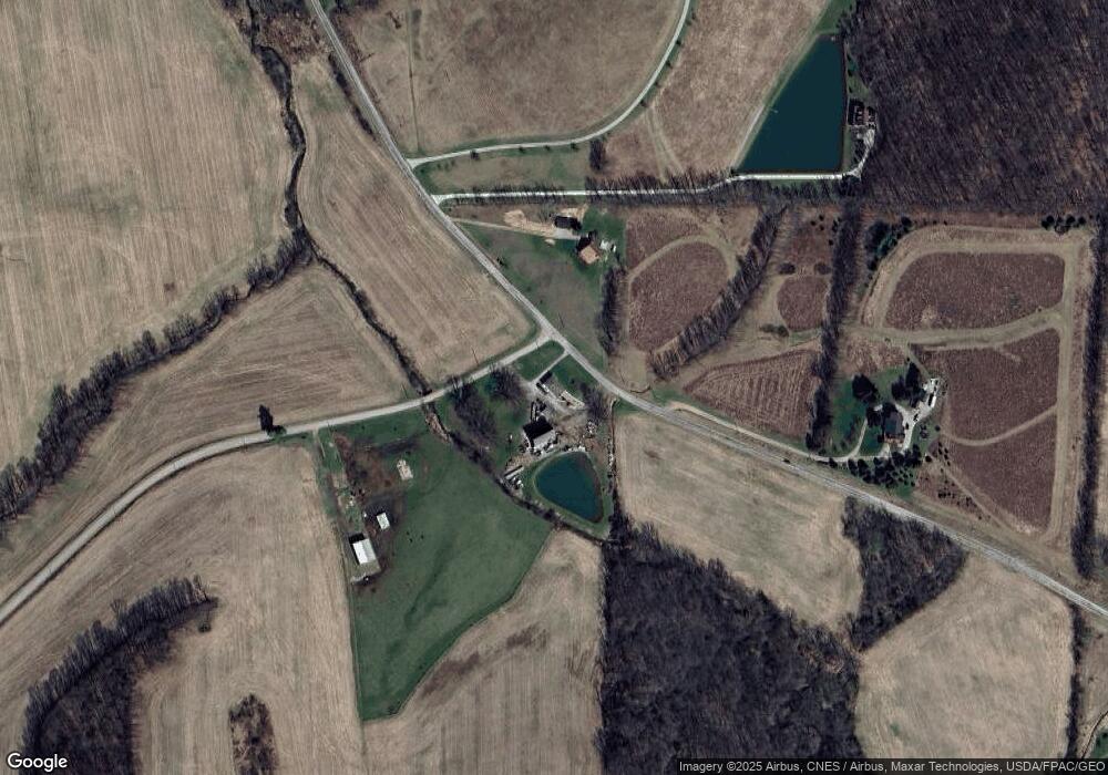
Map
Nearby Homes
- 21625 N Liberty Rd
- 3898 Ohio 97
- 128 College St
- 85 E Lakeview Dr
- 224 Blue Bird Dr
- 4169 State Route 97
- 5449 Hagerman Rd
- 2070 Riggle Rd
- 1259 State Route 97 E
- 1260 Ohio 97 Unit 115
- 0 Mishey Rd
- 0 Divelbiss Rd
- 4978 Bott Rd
- 1169 State Route 97 E
- 5042 Possum Run Rd
- 4234 Swigart Rd
- 14345 Spohn Rd
- 6533 Durbin Rd
- 361 Honey Creek Rd E
- 6509 Ankneytown Rd
- 7073 Wheatcraft Rd
- 7117 Wheatcraft Rd
- 7009 Wheatcraft Rd
- 7059 Wheatcraft Rd
- 6933 Wheatcraft Rd
- 7320 Wheatcraft Rd
- 0 Hazlet Rd
- 7160 Hazlett Rd
- 7160 Hazlett Rd
- 6831 Wheatcraft Rd
- 7355 Wheatcraft Rd
- 7112 Hazlett Rd
- 7478 Wheatcraft Rd
- 7547 Hill Rd
- 3232 Brokaw Rd
- 3248 Brokaw Rd
- 3308 Statler Rd
- 3145 Brokaw Rd
- 7475 Wheatcraft Rd
- 7451 Hill Rd