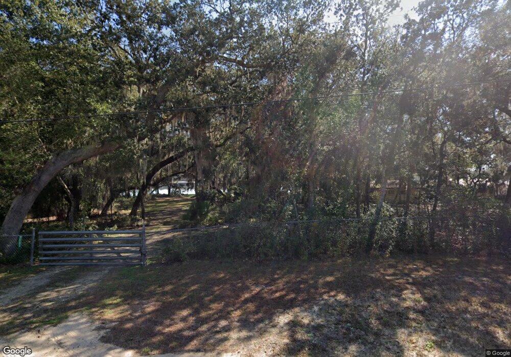
7133 King St Keystone Heights, FL 32656
Estimated Value: $462,883 - $629,000
3
Beds
3
Baths
2,440
Sq Ft
$215/Sq Ft
Est. Value
About This Home
This home is located at 7133 King St, Keystone Heights, FL 32656 and is currently estimated at $525,471, approximately $215 per square foot. 7133 King St is a home located in Clay County with nearby schools including Keystone Heights Elementary School, Keystone Heights Junior/Senior High School, and Hope Christian Academy.
Ownership History
Date
Name
Owned For
Owner Type
Purchase Details
Closed on
Nov 10, 2021
Sold by
Acosta Jeniiifer B and Brooks Cynthia M
Bought by
Fadio Lisa K and Lisa K Fadio Trust
Current Estimated Value
Purchase Details
Closed on
Mar 1, 2013
Sold by
Brooks Jennifer L
Bought by
Brooks Jennifer L and Brooks Cynthia M
Purchase Details
Closed on
Dec 20, 2012
Sold by
Brooks Charles E
Bought by
Brooks Jennifer L
Purchase Details
Closed on
Jun 18, 2009
Sold by
Brooks C E and Brooks Charles E
Bought by
Brooks Charles E and Brooks Cynthia M
Create a Home Valuation Report for This Property
The Home Valuation Report is an in-depth analysis detailing your home's value as well as a comparison with similar homes in the area
Home Values in the Area
Average Home Value in this Area
Purchase History
| Date | Buyer | Sale Price | Title Company |
|---|---|---|---|
| Fadio Lisa K | $420,000 | Attorney | |
| Brooks Jennifer L | -- | Attorney | |
| Brooks Jennifer L | -- | Attorney | |
| Brooks Charles E | -- | Attorney | |
| Brooks Charles E | -- | Attorney |
Source: Public Records
Tax History Compared to Growth
Tax History
| Year | Tax Paid | Tax Assessment Tax Assessment Total Assessment is a certain percentage of the fair market value that is determined by local assessors to be the total taxable value of land and additions on the property. | Land | Improvement |
|---|---|---|---|---|
| 2024 | $4,845 | $347,324 | -- | -- |
| 2023 | $4,845 | $337,208 | $0 | $0 |
| 2022 | $4,592 | $327,387 | $40,000 | $287,387 |
| 2021 | $4,364 | $265,502 | $40,000 | $225,502 |
| 2020 | $4,055 | $252,551 | $40,000 | $212,551 |
| 2019 | $3,769 | $232,757 | $40,000 | $192,757 |
| 2018 | $3,225 | $207,278 | $0 | $0 |
| 2017 | $3,278 | $217,813 | $0 | $0 |
| 2016 | $3,036 | $193,583 | $0 | $0 |
| 2015 | $2,806 | $167,523 | $0 | $0 |
| 2014 | $2,281 | $149,330 | $0 | $0 |
Source: Public Records
Map
Nearby Homes
- 7115 King St
- 6959 Immokalee Rd
- 00 Highway 100
- 432 SE 55th St
- 6831 Cedar Brook Ct
- 661 East St
- 00 N Lawrence Blvd
- 215 N Lawrence Blvd
- 6490 Woodland Dr
- 630 S West Susan Ave
- 641 SW Orange Ave
- 0000 State Road 100
- 0 SE 46th Loop Unit 2070307
- 6081 Highway 100
- 6706 Baja Ct
- 333 SE 46th Loop
- 7211 Cardinal St
- 6705 Autumnwood Ct
- 0 Orchid Ave Unit 1239242
- 0 Orchid Ave Unit 1239243
