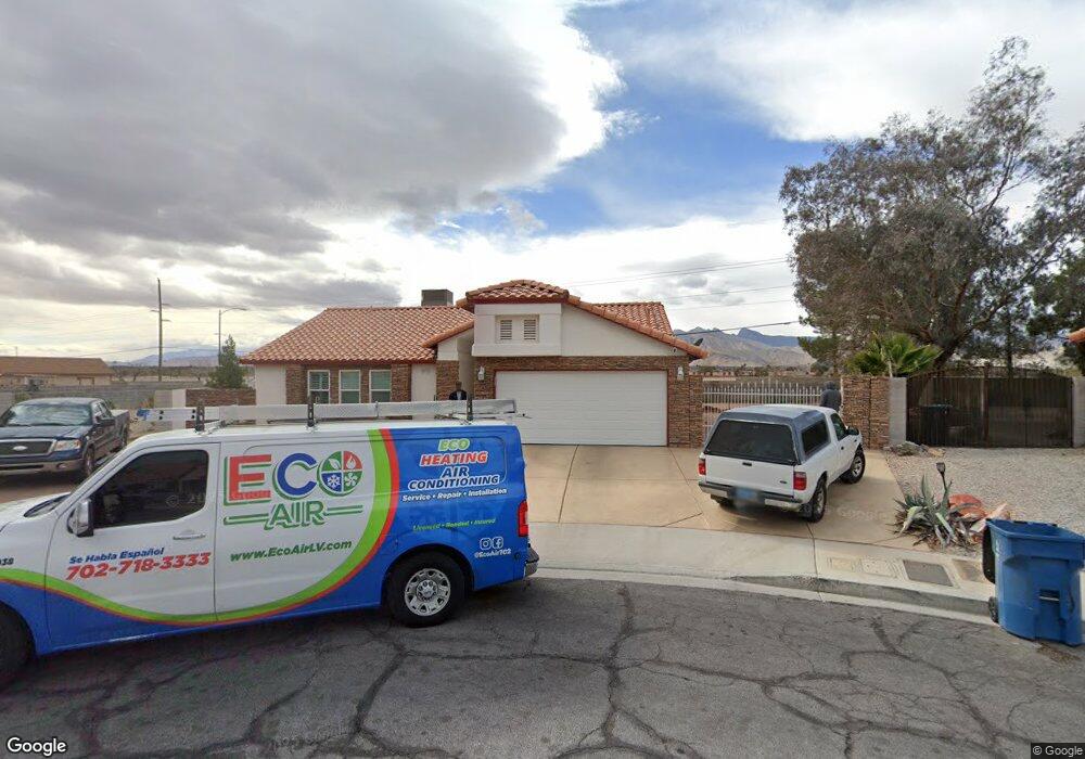
7133 Sail Port Ct Las Vegas, NV 89129
Lone Mountain NeighborhoodEstimated Value: $468,000 - $515,511
3
Beds
2
Baths
1,714
Sq Ft
$290/Sq Ft
Est. Value
About This Home
This home is located at 7133 Sail Port Ct, Las Vegas, NV 89129 and is currently estimated at $496,628, approximately $289 per square foot. 7133 Sail Port Ct is a home located in Clark County with nearby schools including Marc Kahre Elementary School, Dorothy Eisenberg Elementary School, and Irwin & Susan Molasky Junior High School.
Ownership History
Date
Name
Owned For
Owner Type
Purchase Details
Closed on
Sep 15, 2006
Sold by
Disante Betty M
Bought by
Disante Vincent C and Disante Betty M
Current Estimated Value
Create a Home Valuation Report for This Property
The Home Valuation Report is an in-depth analysis detailing your home's value as well as a comparison with similar homes in the area
Home Values in the Area
Average Home Value in this Area
Purchase History
| Date | Buyer | Sale Price | Title Company |
|---|---|---|---|
| Disante Vincent C | -- | None Available |
Source: Public Records
Tax History Compared to Growth
Tax History
| Year | Tax Paid | Tax Assessment Tax Assessment Total Assessment is a certain percentage of the fair market value that is determined by local assessors to be the total taxable value of land and additions on the property. | Land | Improvement |
|---|---|---|---|---|
| 2025 | $1,906 | $102,285 | $38,588 | $63,697 |
| 2024 | $1,906 | $102,285 | $38,588 | $63,697 |
| 2023 | $1,906 | $96,763 | $36,750 | $60,013 |
| 2022 | $1,851 | $88,830 | $33,443 | $55,387 |
| 2021 | $1,797 | $78,723 | $25,725 | $52,998 |
| 2020 | $1,742 | $78,650 | $25,725 | $52,925 |
| 2019 | $1,691 | $75,889 | $23,520 | $52,369 |
| 2018 | $1,642 | $70,762 | $19,950 | $50,812 |
| 2017 | $2,236 | $68,195 | $16,450 | $51,745 |
| 2016 | $1,555 | $67,316 | $15,050 | $52,266 |
| 2015 | $1,551 | $56,660 | $11,550 | $45,110 |
| 2014 | $1,506 | $44,575 | $8,750 | $35,825 |
Source: Public Records
Map
Nearby Homes
- 7125 Caprock Cir
- 3660 Renovah St Unit 104
- 3660 Renovah St Unit 202
- 3600 Depew Cir
- 7061 Roscoe Ave Unit 101
- 7415 Constantinople Ave
- 3508 N Tenaya Way
- 4025 Cunning Fellow Ct
- 3641 White Plains Dr
- 6917 Raleigh Ave
- 3740 Broadriver Dr
- 3600 Monarcas St Unit 202
- 4021 Sea Hero St Unit 1
- 3608 Lisandro St Unit 104
- 4025 Sea Hero St
- 7424 Fort Wilkins Dr
- 3609 Galatea St Unit 102
- 4053 Hazelridge Dr
- 4064 Browndeer Cir
- 3609 Pintadas St Unit 202
- 7129 Sail Port Ct
- 7132 Sail Port Ct
- 7128 Lagoon Landing Dr
- 7125 Sail Port Ct
- 7128 Sail Port Ct
- 7124 Lagoon Landing Dr
- 7124 Sail Port Ct
- 7121 Sail Port Ct
- 7120 Lagoon Landing Dr
- 7129 Yacht Landing Dr
- 7133 Lagoon Landing Dr
- 7125 Yacht Landing Dr
- 7120 Sail Port Ct
- 7116 Lagoon Landing Dr
- 7117 Sail Port Ct
- 7121 Yacht Landing Dr
- 7129 Lagoon Landing Dr
- 7125 Lagoon Landing Dr
- 7116 Sail Port Ct
- 7112 Lagoon Landing Dr