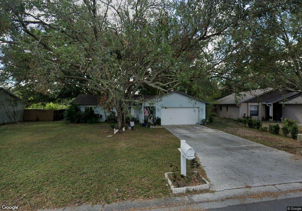
7134 12th Ct E Sarasota, FL 34243
Estimated Value: $308,751 - $350,000
3
Beds
2
Baths
1,257
Sq Ft
$261/Sq Ft
Est. Value
About This Home
This home is located at 7134 12th Ct E, Sarasota, FL 34243 and is currently estimated at $328,188, approximately $261 per square foot. 7134 12th Ct E is a home located in Manatee County with nearby schools including Florine J. Abel Elementary School, Electa Lee Magnet Middle School, and Southeast High School.
Ownership History
Date
Name
Owned For
Owner Type
Purchase Details
Closed on
Mar 11, 1999
Sold by
J I Kislak Mtg Corp
Bought by
Housing & Urban Dev
Current Estimated Value
Purchase Details
Closed on
Feb 9, 1999
Sold by
Clerk Circuit Court
Bought by
J I Kislak Mtg Corp
Purchase Details
Closed on
Oct 8, 1993
Sold by
Sams James E and Sams Sabine C
Bought by
Swale Thomas E and Swale Stephanie D
Home Financials for this Owner
Home Financials are based on the most recent Mortgage that was taken out on this home.
Original Mortgage
$74,160
Interest Rate
7.01%
Mortgage Type
FHA
Create a Home Valuation Report for This Property
The Home Valuation Report is an in-depth analysis detailing your home's value as well as a comparison with similar homes in the area
Home Values in the Area
Average Home Value in this Area
Purchase History
| Date | Buyer | Sale Price | Title Company |
|---|---|---|---|
| Housing & Urban Dev | -- | -- | |
| J I Kislak Mtg Corp | -- | -- | |
| Swale Thomas E | $74,000 | -- |
Source: Public Records
Mortgage History
| Date | Status | Borrower | Loan Amount |
|---|---|---|---|
| Previous Owner | Swale Thomas E | $74,160 |
Source: Public Records
Tax History
| Year | Tax Paid | Tax Assessment Tax Assessment Total Assessment is a certain percentage of the fair market value that is determined by local assessors to be the total taxable value of land and additions on the property. | Land | Improvement |
|---|---|---|---|---|
| 2025 | $901 | $87,108 | -- | -- |
| 2023 | $862 | $82,187 | $0 | $0 |
| 2022 | $819 | $79,793 | $0 | $0 |
| 2021 | $762 | $77,469 | $0 | $0 |
| 2020 | $773 | $76,399 | $0 | $0 |
| 2019 | $747 | $74,681 | $0 | $0 |
| 2018 | $738 | $73,289 | $0 | $0 |
| 2017 | $685 | $71,782 | $0 | $0 |
| 2016 | $684 | $70,306 | $0 | $0 |
Source: Public Records
Map
Nearby Homes
- 7135 Queen Palm Cir
- 1219 70th Dr E
- 1147 Longfellow Rd Unit 157C
- 1619 Suponic Ave
- 1143 Longfellow Rd
- 1190 Longfellow Way Unit 135-C
- 6860 Whitman Ct Unit 32B
- 965 Whitman Dr Unit 61
- 810 Mcarthur Ave
- 927 Byron Ln Unit 13-B
- 1125 Longfellow Way Unit 125B
- 813 Exmoor St
- 1125 Danny Dr
- 6916 Waverly St
- 7618 16th Street Ct E
- 844 Magellan Dr
- 705 Whitfield Ave
- 703 Whitfield Ave
- 7515 19th St E
- 7309 Meadowbrook Dr
Your Personal Tour Guide
Ask me questions while you tour the home.