71341 Cedar Bend Ln Unit 3 Bruce Township, MI 48065
Estimated Value: $1,081,000 - $1,247,000
4
Beds
4
Baths
3,966
Sq Ft
$287/Sq Ft
Est. Value
About This Home
This home is located at 71341 Cedar Bend Ln Unit 3, Bruce Township, MI 48065 and is currently estimated at $1,140,191, approximately $287 per square foot. 71341 Cedar Bend Ln Unit 3 is a home located in Macomb County with nearby schools including Hamilton Parsons Elementary School and Bible Truth Christian Academy.
Ownership History
Date
Name
Owned For
Owner Type
Purchase Details
Closed on
Aug 20, 2020
Sold by
Gustavus Michael and Gustavus Lori R
Bought by
Angelilli Carl
Current Estimated Value
Home Financials for this Owner
Home Financials are based on the most recent Mortgage that was taken out on this home.
Original Mortgage
$375,000
Outstanding Balance
$332,651
Interest Rate
3%
Mortgage Type
New Conventional
Estimated Equity
$807,540
Create a Home Valuation Report for This Property
The Home Valuation Report is an in-depth analysis detailing your home's value as well as a comparison with similar homes in the area
Home Values in the Area
Average Home Value in this Area
Purchase History
| Date | Buyer | Sale Price | Title Company |
|---|---|---|---|
| Angelilli Carl | $750,000 | Equity Title Agency Llc |
Source: Public Records
Mortgage History
| Date | Status | Borrower | Loan Amount |
|---|---|---|---|
| Open | Angelilli Carl | $375,000 |
Source: Public Records
Tax History Compared to Growth
Tax History
| Year | Tax Paid | Tax Assessment Tax Assessment Total Assessment is a certain percentage of the fair market value that is determined by local assessors to be the total taxable value of land and additions on the property. | Land | Improvement |
|---|---|---|---|---|
| 2025 | $12,616 | $494,500 | $0 | $0 |
| 2024 | $8,625 | $483,700 | $0 | $0 |
| 2023 | $8,314 | $416,700 | $0 | $0 |
| 2022 | $11,537 | $367,800 | $0 | $0 |
| 2021 | $11,413 | $359,900 | $0 | $0 |
| 2020 | $5,198 | $352,600 | $0 | $0 |
| 2019 | $4,685 | $340,600 | $0 | $0 |
| 2018 | $0 | $286,250 | $0 | $0 |
| 2017 | $6,608 | $279,675 | $39,294 | $240,381 |
| 2016 | $6,615 | $270,170 | $0 | $0 |
| 2015 | -- | $256,940 | $0 | $0 |
| 2014 | -- | $238,530 | $25,680 | $212,850 |
| 2011 | -- | $217,270 | $28,730 | $188,540 |
Source: Public Records
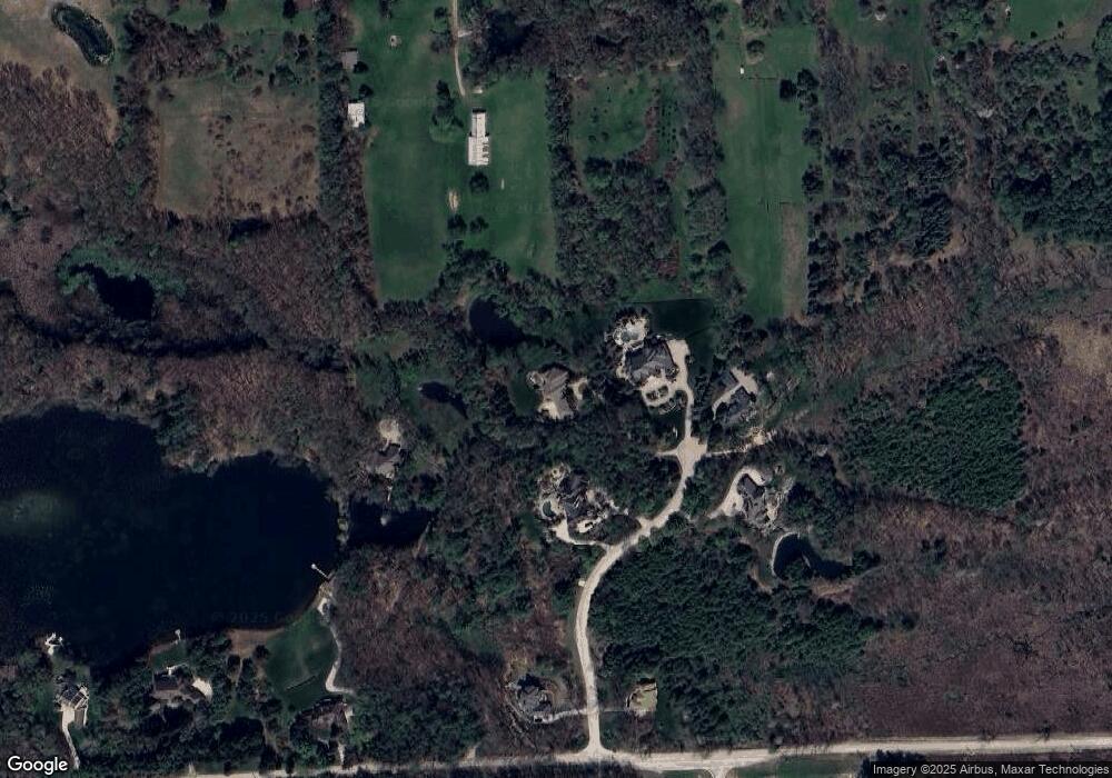
Map
Nearby Homes
- 70903 Renata Ct
- 70910 Renata Ct
- 3620 33 Mile Rd
- 70795 Renata Ct
- 70609 Renata Ct
- 70501 Renata Ct
- 3999 Taft Rd
- 69951 Wildflower Ln Unit 18
- 2101 33 Mile Rd
- 1783 Brewer Rd
- 69308 Pine River Dr Unit 3
- 69166 Slating Ln
- 1779 Mack Rd
- 5959 34 Mile Rd
- 69225 Lake Point Ct
- 0 Mound Rd Unit 50190478
- 69416 Brookhill Dr
- 7295 Taft Rd
- 990 Brewer Rd
- 7260 34 Mile Rd
- 71341 Cedar Bend Ln
- 71227 Cedar Bend Ln Unit 2
- 71050 Cedar Bend Ln
- 3539 33 Mile Rd
- 3377 33 Mile Rd
- 3554 Taft Rd
- 4100 33 Mile Rd
- 3710 33 Mile Rd
- 3444 33 Mile Rd
- 70900 Carnegie Ln
- 3456 Taft Rd
- 3315 33 Mile Rd
- 3838 Taft Rd
- 3950 Taft Rd
- 70800 Carnegie Ln
- 70707 Renata Ct
- 3350 Taft Rd
- 3750 Taft Rd
- 70901 Carnegie Ln
- 70663 Fisher Rd