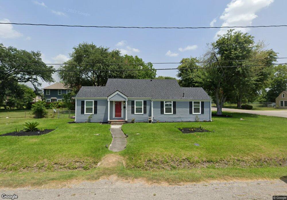
7135 Foster St Houston, TX 77021
OST-South Union NeighborhoodEstimated Value: $198,000 - $247,000
3
Beds
1
Bath
1,228
Sq Ft
$178/Sq Ft
Est. Value
About This Home
This home is located at 7135 Foster St, Houston, TX 77021 and is currently estimated at $218,550, approximately $177 per square foot. 7135 Foster St is a home located in Harris County with nearby schools including Marcellus Elliot Foster Elementary, Cullen Middle School, and Yates High School.
Ownership History
Date
Name
Owned For
Owner Type
Purchase Details
Closed on
Jul 31, 2018
Bought by
Owens Mary V
Current Estimated Value
Home Financials for this Owner
Home Financials are based on the most recent Mortgage that was taken out on this home.
Original Mortgage
$217,170
Outstanding Balance
$188,769
Interest Rate
4.54%
Estimated Equity
$29,781
Create a Home Valuation Report for This Property
The Home Valuation Report is an in-depth analysis detailing your home's value as well as a comparison with similar homes in the area
Home Values in the Area
Average Home Value in this Area
Purchase History
| Date | Buyer | Sale Price | Title Company |
|---|---|---|---|
| Owens Mary V | -- | -- |
Source: Public Records
Mortgage History
| Date | Status | Borrower | Loan Amount |
|---|---|---|---|
| Open | Owens Mary V | $217,170 | |
| Closed | Owens Mary V | -- |
Source: Public Records
Tax History Compared to Growth
Tax History
| Year | Tax Paid | Tax Assessment Tax Assessment Total Assessment is a certain percentage of the fair market value that is determined by local assessors to be the total taxable value of land and additions on the property. | Land | Improvement |
|---|---|---|---|---|
| 2025 | $963 | $237,283 | $206,000 | $31,283 |
| 2024 | $963 | $237,283 | $206,000 | $31,283 |
| 2023 | $963 | $233,567 | $185,400 | $48,167 |
| 2022 | $1,785 | $195,625 | $144,200 | $51,425 |
| 2021 | $1,718 | $144,627 | $92,700 | $51,927 |
| 2020 | $1,623 | $97,737 | $61,800 | $35,937 |
| 2019 | $1,541 | $88,201 | $51,500 | $36,701 |
| 2018 | $825 | $63,660 | $36,050 | $27,610 |
| 2017 | $1,273 | $50,343 | $25,750 | $24,593 |
| 2016 | $1,273 | $50,343 | $25,750 | $24,593 |
| 2015 | $747 | $46,851 | $25,750 | $21,101 |
| 2014 | $747 | $44,826 | $25,750 | $19,076 |
Source: Public Records
Map
Nearby Homes
- 7129 Foster St
- 7130 Eastwood St
- 7131 Eastwood St Unit A
- 7131 Eastwood St Unit C
- 7107 Foster St Unit A
- 7127 England St
- 7129 England St
- 7125 England St
- 7117 England St Unit C
- 7117 England St Unit A
- 7117 England St Unit B
- 7115 England St Unit A
- 7115 England St Unit B
- 7210 England St
- 7241 England St
- 7226 England St
- 4407 Alice St
- 6910 Cullen Blvd Unit 1
- 7301 Conley St
- 7117 Saint Augustine St
- 7129 Foster St
- 7136 Eastwood St
- 7136 Eastwood St Unit A
- 7134 Eastwood St Unit C
- 4406 Dreyfus St
- 7136 Foster St
- 7132 Foster St
- 4402 Dreyfus St
- 7132 Eastwood St
- 7132 Eastwood St Unit C
- 7132 Eastwood St Unit B
- 7132 Eastwood St Unit A
- 7123 Foster St
- 4414 Dreyfus St
- 7128 Foster St
- 4338 Dreyfus St
- 7124 Foster St
- 7117 Foster St
- 7135 Goforth St
- 7135 Eastwood St