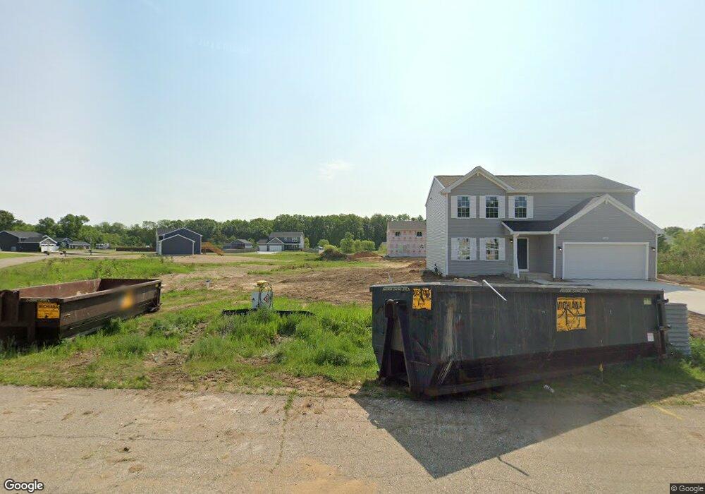
71367 Sophie Rd Edwardsburg, MI 49112
Estimated Value: $354,000 - $452,000
4
Beds
3
Baths
1,822
Sq Ft
$214/Sq Ft
Est. Value
About This Home
This home is located at 71367 Sophie Rd, Edwardsburg, MI 49112 and is currently estimated at $389,716, approximately $213 per square foot. 71367 Sophie Rd is a home located in Cass County with nearby schools including Edwardsburg Primary School, Eagle Lake Elementary School, and Edwardsburg Intermediate School.
Ownership History
Date
Name
Owned For
Owner Type
Purchase Details
Closed on
Dec 18, 2023
Sold by
Swan Charlie Second Llc
Bought by
Swan Charlie First Llc
Current Estimated Value
Purchase Details
Closed on
Sep 9, 2023
Sold by
Westview Capital Llc
Bought by
Swan Charlie First Llc
Purchase Details
Closed on
Apr 12, 2022
Sold by
Quantz Kevin and Quantz Jan
Bought by
Westview Cap Llc
Purchase Details
Closed on
Feb 2, 2016
Sold by
Bear Development Llc
Bought by
Anderson James
Create a Home Valuation Report for This Property
The Home Valuation Report is an in-depth analysis detailing your home's value as well as a comparison with similar homes in the area
Home Values in the Area
Average Home Value in this Area
Purchase History
| Date | Buyer | Sale Price | Title Company |
|---|---|---|---|
| Swan Charlie First Llc | -- | None Listed On Document | |
| Swan Charlie First Llc | -- | None Listed On Document | |
| Westview Cap Llc | $205,652 | Metropolitan Title Co | |
| Anderson James | $250,000 | Attorney |
Source: Public Records
Tax History Compared to Growth
Tax History
| Year | Tax Paid | Tax Assessment Tax Assessment Total Assessment is a certain percentage of the fair market value that is determined by local assessors to be the total taxable value of land and additions on the property. | Land | Improvement |
|---|---|---|---|---|
| 2025 | $6,365 | $159,200 | $159,200 | $0 |
| 2024 | $1,605 | $152,400 | $152,400 | $0 |
| 2023 | $133 | $12,500 | $0 | $0 |
| 2022 | $30 | $2,800 | $0 | $0 |
| 2021 | $136 | $3,200 | $0 | $0 |
| 2020 | $137 | $3,200 | $0 | $0 |
| 2019 | $135 | $3,200 | $0 | $0 |
| 2018 | $34 | $3,200 | $0 | $0 |
| 2017 | $34 | $3,200 | $0 | $0 |
| 2016 | $17 | $3,000 | $0 | $0 |
| 2015 | -- | $4,500 | $0 | $0 |
| 2011 | -- | $4,500 | $0 | $0 |
Source: Public Records
Map
Nearby Homes
- 70150 Sherman Rd
- 70060 Sherman Rd
- 70085 Sherman Rd
- 70065 Sherman Rd
- 70054 Sherman Rd
- 26009 May St
- 26039 May St
- 25995 May St
- 25900 May St
- 26073 May St
- 0 Sherman Rd Unit 69024021864
- 0 Sherman Rd Unit Lot 8 24021864
- Lot 8 Sherman Rd
- Lot 7 Sherman Rd
- Lot 1 Sherman Rd
- VL Sherman Rd
- 0 Sherman Rd
- 26105 May St
- 26105 May St
- 25890 May St