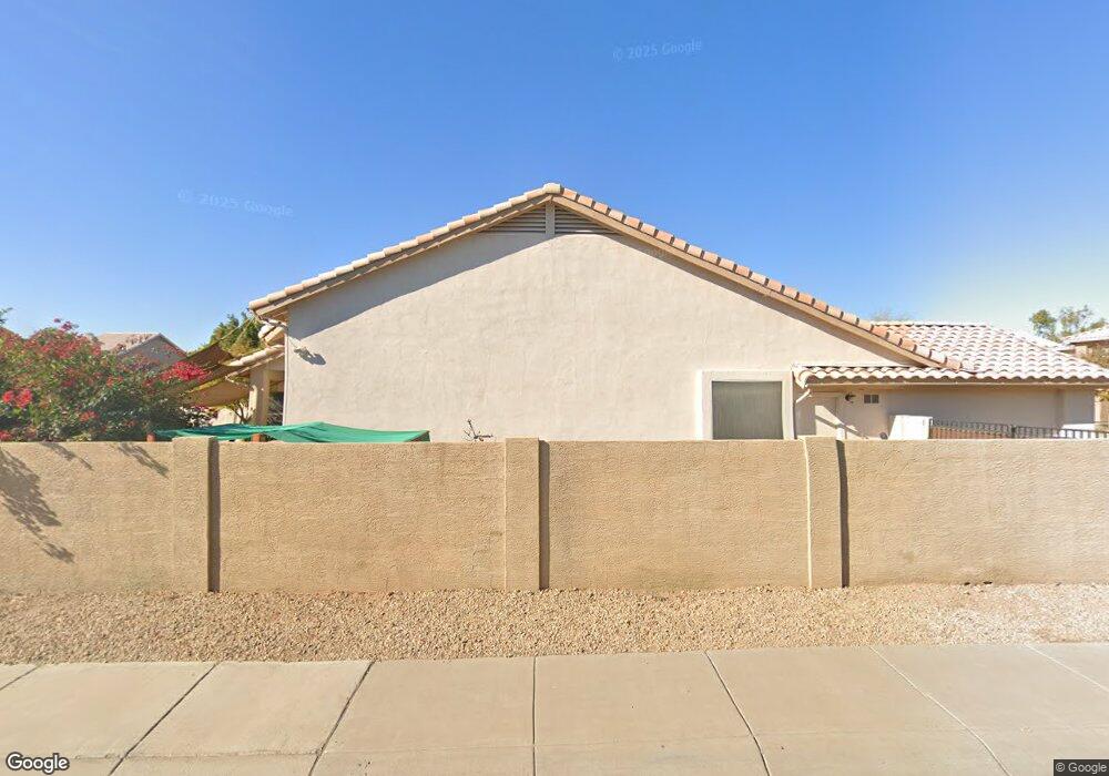
7137 W Pershing Ave Peoria, AZ 85381
Estimated Value: $539,986 - $672,000
--
Bed
3
Baths
2,466
Sq Ft
$246/Sq Ft
Est. Value
About This Home
This home is located at 7137 W Pershing Ave, Peoria, AZ 85381 and is currently estimated at $607,247, approximately $246 per square foot. 7137 W Pershing Ave is a home located in Maricopa County with nearby schools including Oakwood Elementary School, Cactus High School, and Legacy Traditional School - Glendale.
Ownership History
Date
Name
Owned For
Owner Type
Purchase Details
Closed on
May 7, 1997
Sold by
T W Lewis Company
Bought by
Alarcon James P and Alarcon Doris J
Current Estimated Value
Home Financials for this Owner
Home Financials are based on the most recent Mortgage that was taken out on this home.
Original Mortgage
$173,400
Outstanding Balance
$24,038
Interest Rate
8.14%
Mortgage Type
New Conventional
Estimated Equity
$583,209
Create a Home Valuation Report for This Property
The Home Valuation Report is an in-depth analysis detailing your home's value as well as a comparison with similar homes in the area
Home Values in the Area
Average Home Value in this Area
Purchase History
| Date | Buyer | Sale Price | Title Company |
|---|---|---|---|
| Alarcon James P | $182,555 | Chicago Title Insurance Co |
Source: Public Records
Mortgage History
| Date | Status | Borrower | Loan Amount |
|---|---|---|---|
| Open | Alarcon James P | $173,400 |
Source: Public Records
Tax History Compared to Growth
Tax History
| Year | Tax Paid | Tax Assessment Tax Assessment Total Assessment is a certain percentage of the fair market value that is determined by local assessors to be the total taxable value of land and additions on the property. | Land | Improvement |
|---|---|---|---|---|
| 2025 | $2,349 | $30,564 | -- | -- |
| 2024 | $2,378 | $29,109 | -- | -- |
| 2023 | $2,378 | $41,900 | $8,380 | $33,520 |
| 2022 | $2,329 | $33,010 | $6,600 | $26,410 |
| 2021 | $2,484 | $30,700 | $6,140 | $24,560 |
| 2020 | $2,510 | $29,610 | $5,920 | $23,690 |
| 2019 | $2,428 | $27,300 | $5,460 | $21,840 |
| 2018 | $2,338 | $26,050 | $5,210 | $20,840 |
| 2017 | $2,339 | $23,660 | $4,730 | $18,930 |
| 2016 | $2,315 | $23,310 | $4,660 | $18,650 |
| 2015 | $2,160 | $23,020 | $4,600 | $18,420 |
Source: Public Records
Map
Nearby Homes
- 7191 W Surrey Ave
- 13629 N 71st Dr
- 12709 N 72nd Ave
- 7301 W Sweetwater Ave
- 7326 W Pershing Ave
- 7138 W Rue de Lamour
- 7233 W Corrine Dr
- 7126 W Columbine Dr
- 7220 W Larkspur Dr
- 7236 W Voltaire Ave
- 7214 W Columbine Dr
- 13676 N 73rd Dr Unit 3
- 13051 N 75th Dr
- 7025 W Redfield Rd
- 7114 W Ludlow Dr
- 7418 W Corrine Dr
- 7537 W Dreyfus Dr
- 6614 W Sweetwater Ave
- 7544 W Dreyfus Dr
- 13851 N 74th Ave
- 7143 W Pershing Ave
- 7138 W Surrey Ave
- 7149 W Pershing Ave
- 13255 N 71st Dr
- 7144 W Surrey Ave
- 13161 N 71st Dr
- 7138 W Pershing Ave
- 13261 N 71st Dr
- 7144 W Pershing Ave
- 7150 W Surrey Ave
- 7155 W Pershing Ave
- 13155 N 71st Dr
- 7150 W Pershing Ave
- 13265 N 71st Dr
- 7156 W Surrey Ave
- 7156 W Pershing Ave
- 13151 N 71st Dr
- 7161 W Pershing Ave
- 13271 N 71st Dr
- 7137 W Willow Ave