714 Aunt Hill Ln Reeds Spring, MO 65737
Estimated Value: $173,729 - $268,000
2
Beds
1
Bath
768
Sq Ft
$271/Sq Ft
Est. Value
About This Home
This home is located at 714 Aunt Hill Ln, Reeds Spring, MO 65737 and is currently estimated at $208,432, approximately $271 per square foot. 714 Aunt Hill Ln is a home located in Stone County with nearby schools including Reeds Spring Primary School, Reeds Spring Elementary School, and Reeds Spring Middle School.
Ownership History
Date
Name
Owned For
Owner Type
Purchase Details
Closed on
Mar 27, 2015
Sold by
Borton Craig S
Bought by
Nicholson James T and Nicholson Katherine Luca
Current Estimated Value
Home Financials for this Owner
Home Financials are based on the most recent Mortgage that was taken out on this home.
Original Mortgage
$12,375,000
Outstanding Balance
$9,523,038
Interest Rate
3.73%
Mortgage Type
Assumption
Estimated Equity
-$9,314,606
Purchase Details
Closed on
Sep 19, 2008
Sold by
Borton Nancy L
Bought by
Borton Craig S
Create a Home Valuation Report for This Property
The Home Valuation Report is an in-depth analysis detailing your home's value as well as a comparison with similar homes in the area
Home Values in the Area
Average Home Value in this Area
Purchase History
| Date | Buyer | Sale Price | Title Company |
|---|---|---|---|
| Nicholson James T | -- | Fidelity Title Agency | |
| Borton Craig S | -- | None Available |
Source: Public Records
Mortgage History
| Date | Status | Borrower | Loan Amount |
|---|---|---|---|
| Open | Nicholson James T | $12,375,000 |
Source: Public Records
Tax History Compared to Growth
Tax History
| Year | Tax Paid | Tax Assessment Tax Assessment Total Assessment is a certain percentage of the fair market value that is determined by local assessors to be the total taxable value of land and additions on the property. | Land | Improvement |
|---|---|---|---|---|
| 2024 | $458 | $9,370 | -- | -- |
| 2023 | $458 | $9,370 | $0 | $0 |
| 2022 | $456 | $9,370 | $0 | $0 |
| 2021 | $461 | $9,370 | $0 | $0 |
| 2020 | $406 | $9,370 | $0 | $0 |
| 2019 | $404 | $9,370 | $0 | $0 |
| 2018 | $403 | $9,370 | $0 | $0 |
| 2017 | $404 | $9,370 | $0 | $0 |
| 2016 | $378 | $9,370 | $0 | $0 |
| 2015 | $379 | $9,020 | $0 | $0 |
| 2014 | $373 | $9,020 | $0 | $0 |
| 2012 | -- | $9,020 | $0 | $0 |
Source: Public Records
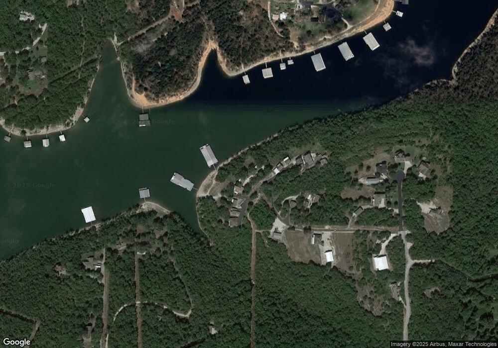
Map
Nearby Homes
- 281 Aunt Hill Ln
- 60 Belle Haven
- 44 Belle Haven
- 123 Half Cir
- 1259 Meadowview Rd
- 000 Meadowview Rd
- Tbd State Highway Oo
- 474 Double O 9 Rd
- Tbd Ance Acres Ln Unit 2
- 610 Double O 9 Rd
- 863 Collins Ln
- 241 Nine Center Ct
- 423 & 425 Eagle Dr
- 455 Eagle Dr
- 423 Eagle Dr
- 425 Eagle Dr
- 303 Deep Water Cir
- 353 Deep Water Cir
- 273 Deep Water Cir
- 88 Deep Water Cir
- 738 Aunt Hill Ln
- 700 Aunt Hill Ln
- 750 Aunt Hill Ln
- 57 Memphis Ln
- 778 Aunt Hill Ln
- 636 Aunt Hill Ln
- 622 Aunt Hill Ln
- 63 Memphis Ln
- 67 Memphis Ln
- 609 Aunt Hill Ln Unit (P.0 Address Near Ki
- 609 Aunt Hill Ln
- 23 Brianwood Ln
- 24 Brianwood Ln
- 72 Brianwood Ln
- 511 Aunt Hill Ln
- 208 Ruby Cir
- 218 Ruby Cir
- 226 Ruby Cir
- 198 Ruby Cir
- 178 Ruby Cir