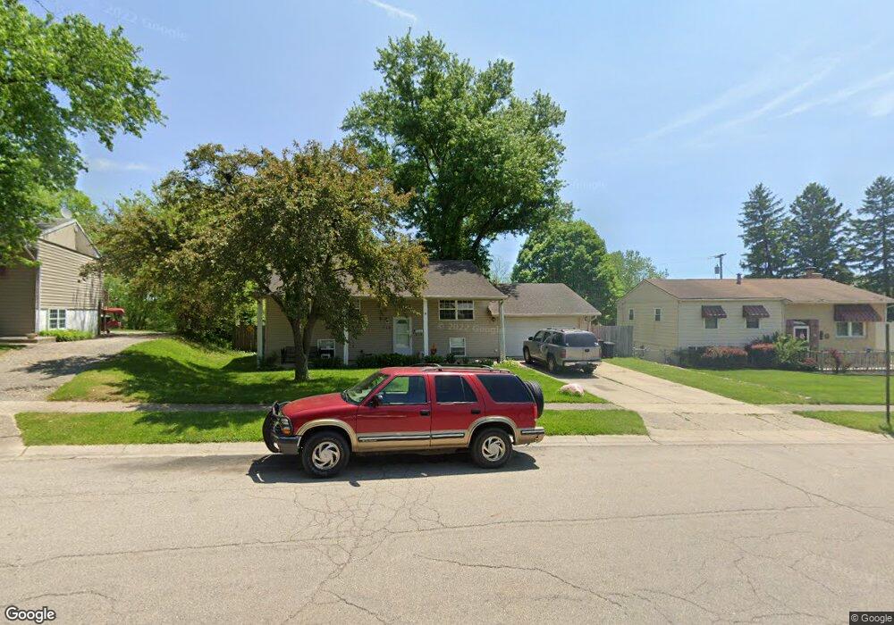
714 Cliffside Dr New Carlisle, OH 45344
Estimated Value: $141,000 - $235,000
4
Beds
2
Baths
999
Sq Ft
$200/Sq Ft
Est. Value
About This Home
This home is located at 714 Cliffside Dr, New Carlisle, OH 45344 and is currently estimated at $199,878, approximately $200 per square foot. 714 Cliffside Dr is a home located in Clark County with nearby schools including Park Layne Elementary School, New Carlisle Elementary School, and Donnelsville Elementary School.
Ownership History
Date
Name
Owned For
Owner Type
Purchase Details
Closed on
Aug 7, 2024
Sold by
Barney Jason L
Bought by
Barney Lisa A
Current Estimated Value
Purchase Details
Closed on
Feb 6, 2004
Sold by
Recore Dennis and Recore Deborah
Bought by
Barney Jason L and Barney Lisa A
Home Financials for this Owner
Home Financials are based on the most recent Mortgage that was taken out on this home.
Original Mortgage
$91,920
Interest Rate
5.96%
Mortgage Type
Purchase Money Mortgage
Purchase Details
Closed on
Oct 31, 2003
Sold by
Newman Michael W and Newman Janet Elaine
Bought by
Recore Dennis
Purchase Details
Closed on
Oct 6, 1994
Sold by
Sargent Mark A
Bought by
Newman Michael W and Newman Monica
Create a Home Valuation Report for This Property
The Home Valuation Report is an in-depth analysis detailing your home's value as well as a comparison with similar homes in the area
Home Values in the Area
Average Home Value in this Area
Purchase History
| Date | Buyer | Sale Price | Title Company |
|---|---|---|---|
| Barney Lisa A | -- | None Listed On Document | |
| Barney Jason L | $114,900 | -- | |
| Recore Dennis | -- | -- | |
| Newman Michael W | $72,500 | -- |
Source: Public Records
Mortgage History
| Date | Status | Borrower | Loan Amount |
|---|---|---|---|
| Previous Owner | Barney Jason L | $91,920 | |
| Closed | Barney Jason L | $22,980 |
Source: Public Records
Tax History Compared to Growth
Tax History
| Year | Tax Paid | Tax Assessment Tax Assessment Total Assessment is a certain percentage of the fair market value that is determined by local assessors to be the total taxable value of land and additions on the property. | Land | Improvement |
|---|---|---|---|---|
| 2024 | $2,658 | $56,040 | $7,760 | $48,280 |
| 2023 | $2,658 | $56,040 | $7,760 | $48,280 |
| 2022 | $2,672 | $56,040 | $7,760 | $48,280 |
| 2021 | $2,181 | $41,380 | $5,930 | $35,450 |
| 2020 | $2,186 | $41,380 | $5,930 | $35,450 |
| 2019 | $2,188 | $41,380 | $5,930 | $35,450 |
| 2018 | $2,174 | $38,170 | $5,760 | $32,410 |
| 2017 | $2,161 | $36,226 | $5,765 | $30,461 |
| 2016 | $2,070 | $36,226 | $5,765 | $30,461 |
| 2015 | $2,102 | $35,848 | $5,387 | $30,461 |
| 2014 | $2,090 | $35,848 | $5,387 | $30,461 |
| 2013 | $2,094 | $35,848 | $5,387 | $30,461 |
Source: Public Records
Map
Nearby Homes
- 842 Edgewick Rd
- 1689 Dale Ridge Rd
- 634 Bowser Dr
- 212 Monroe Way
- 209 Monroe Way
- 419 E Carpenter Dr
- 819 Hedwick St
- 12165 Dille Rd
- 1037 Frayne Dr
- 0 Kennedy Rd
- 16 Laurel Rd
- 9892 S Palmer Rd
- 0 N Dayton-Lakeview Rd Unit 944532
- 0 N Dayton-Lakeview Rd Unit 1041631
- 11315 W National Rd
- 1292 Medway New Carlisle Rd
- 11501 Zeller Dr
- 9705 E Haskett Ln
- 232 E Main St
- 738 S Medway Carlisle Rd
- 706 Cliffside Dr
- 720 Cliffside Dr
- 728 Cliffside Dr
- 700 Cliffside Dr
- 703 Cliffside Dr
- 717 Cliffside Dr
- 736 Cliffside Dr
- 1607 Dale Ridge Rd
- 1608 Styer Dr
- 1613 Dale Ridge Rd
- 804 Cliffside Dr
- 1605 Styer Dr
- 1621 Dale Ridge Rd
- 1616 Styer Dr
- 812 Cliffside Dr
- 807 Cliffside Dr
- 655 Cliffside Dr
- 1629 Dale Ridge Rd
- 1614 Dale Ridge Rd
- 1621 Styer Dr