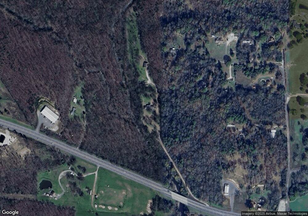
714 Highway 270 Malvern, AR 72104
Estimated Value: $232,655 - $324,000
--
Bed
2
Baths
2,516
Sq Ft
$114/Sq Ft
Est. Value
About This Home
This home is located at 714 Highway 270, Malvern, AR 72104 and is currently estimated at $285,914, approximately $113 per square foot. 714 Highway 270 is a home located in Hot Spring County with nearby schools including Magnet Cove Elementary School and Magnet Cove High School.
Ownership History
Date
Name
Owned For
Owner Type
Purchase Details
Closed on
Sep 12, 2025
Sold by
Cook Joseph P and Cook Crystal D
Bought by
Joe And Crystal Cook Living Trust and Cook
Current Estimated Value
Purchase Details
Closed on
Dec 26, 2001
Bought by
Cook Joseph P and Cook Crystal D
Purchase Details
Closed on
Mar 27, 1995
Bought by
Howerton Lloyd and Howerton Tonya
Purchase Details
Closed on
Feb 28, 1992
Bought by
Howerton Lloyd and Howerton Tonya
Create a Home Valuation Report for This Property
The Home Valuation Report is an in-depth analysis detailing your home's value as well as a comparison with similar homes in the area
Home Values in the Area
Average Home Value in this Area
Purchase History
| Date | Buyer | Sale Price | Title Company |
|---|---|---|---|
| Joe And Crystal Cook Living Trust | -- | None Listed On Document | |
| Joe And Crystal Cook Living Trust | -- | None Listed On Document | |
| Cook Joseph P | $140,000 | -- | |
| Howerton Lloyd | -- | -- | |
| Howerton Lloyd | $30,000 | -- |
Source: Public Records
Mortgage History
| Date | Status | Borrower | Loan Amount |
|---|---|---|---|
| Previous Owner | Howerton Lloyd | $0 |
Source: Public Records
Tax History Compared to Growth
Tax History
| Year | Tax Paid | Tax Assessment Tax Assessment Total Assessment is a certain percentage of the fair market value that is determined by local assessors to be the total taxable value of land and additions on the property. | Land | Improvement |
|---|---|---|---|---|
| 2024 | $1,371 | $32,950 | $3,385 | $29,565 |
| 2023 | $1,446 | $32,950 | $3,385 | $29,565 |
| 2022 | $1,496 | $32,950 | $3,385 | $29,565 |
| 2021 | $1,496 | $32,950 | $3,385 | $29,565 |
| 2020 | $1,597 | $34,725 | $3,385 | $31,340 |
| 2019 | $1,422 | $31,645 | $3,385 | $28,260 |
| 2018 | $1,174 | $31,645 | $3,385 | $28,260 |
| 2017 | $1,108 | $31,645 | $3,385 | $28,260 |
| 2016 | $1,392 | $28,886 | $3,385 | $25,501 |
| 2015 | $975 | $27,510 | $5,250 | $22,260 |
| 2014 | $975 | $27,510 | $5,250 | $22,260 |
Source: Public Records
Map
Nearby Homes
- 419 Bayshore Dr
- Lot 37 Fox Run Dr
- Lot 46 Fox Run Dr
- Lot 45 Fox Run Dr
- Lot 44 Fox Run Dr
- Lot 38 Fox Run Dr
- Lot 39 Fox Run Dr
- Lot 40 Fox Run Dr
- 4838 Malvern Rd
- 135 Roundwood Dr
- 299 Bonnie Brae St
- 112 Fairchild Point
- 111 Oyster Bay Overlook
- 109 Medinah Overlook
- LOT 43 Windsong Bay Dr
- LOT 42 Windsong Bay Dr
- Lots 45&46 Windsong Bay Dr
- LOT 44 Windsong Bay Dr
- 716 Highway 270
- 716 Highway 270
- 110 Yorkshire Ln
- 000 Pearson Yorkshire Ln
- Pearson & Yorkshire Ln
- 303 Tom Loyd Cutoff
- 1370 Yorkshire Ln
- 121 Pearson Ln
- 301 Tom Loyd 206
- 497 Highway 270
- 301 Tom Loyd Cutoff
- 171 Pearson Ln
- 829 Highway 270
- 209 Pearson Ln
- 803 Highway 270
- 803 Highway 270
- 803 Highway 270
- 803 Highway 270
- 816 Highway 270
- 424 Tom Loyd Cutoff
