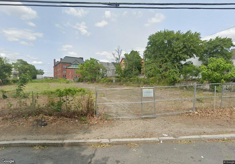
714 Huntington Ave Providence, RI 02909
West End NeighborhoodEstimated Value: $286,000
--
Bed
--
Bath
--
Sq Ft
1
Acres
About This Home
This home is located at 714 Huntington Ave, Providence, RI 02909 and is currently priced at $286,000. 714 Huntington Ave is a home located in Providence County with nearby schools including Asa Messer Elementary School, Charles N. Fortes Elementary School, and Alfred Lima Sr. Elementary School.
Ownership History
Date
Name
Owned For
Owner Type
Purchase Details
Closed on
Oct 22, 2023
Sold by
Capital Ass T
Bought by
Strickland Keith
Current Estimated Value
Purchase Details
Closed on
Sep 8, 2022
Sold by
Solomon T T and Solomon Smith
Bought by
Capital Associates T
Purchase Details
Closed on
Aug 18, 2020
Sold by
Solomon Assoc Rigp
Bought by
Solomon T
Create a Home Valuation Report for This Property
The Home Valuation Report is an in-depth analysis detailing your home's value as well as a comparison with similar homes in the area
Home Values in the Area
Average Home Value in this Area
Purchase History
| Date | Buyer | Sale Price | Title Company |
|---|---|---|---|
| Strickland Keith | $495,000 | None Available | |
| Capital Associates T | -- | None Available | |
| Solomon T | -- | None Available | |
| Solomon Assoc Rigp | -- | None Available |
Source: Public Records
Tax History Compared to Growth
Tax History
| Year | Tax Paid | Tax Assessment Tax Assessment Total Assessment is a certain percentage of the fair market value that is determined by local assessors to be the total taxable value of land and additions on the property. | Land | Improvement |
|---|---|---|---|---|
| 2025 | $3,373 | $115,500 | $115,500 | $0 |
| 2024 | $2,113 | $60,200 | $59,200 | $1,000 |
| 2023 | $2,113 | $60,200 | $59,200 | $1,000 |
| 2022 | $2,131 | $60,200 | $59,200 | $1,000 |
| 2021 | $1,857 | $50,600 | $49,900 | $700 |
| 2020 | $1,857 | $50,600 | $49,900 | $700 |
| 2019 | $1,857 | $50,600 | $49,900 | $700 |
| 2018 | $1,853 | $50,500 | $49,900 | $600 |
| 2017 | $1,853 | $50,500 | $49,900 | $600 |
| 2016 | $1,853 | $50,500 | $49,900 | $600 |
| 2015 | $1,768 | $48,100 | $47,500 | $600 |
| 2014 | $1,768 | $48,100 | $47,500 | $600 |
| 2013 | $1,768 | $48,100 | $47,500 | $600 |
Source: Public Records
Map
Nearby Homes
- 31 Carter St Unit 33
- 690 Potters Ave
- 561 Potters Ave
- 133 Burnett St Unit 135
- 14 Seabury St
- 10 Seabury St
- 42 Chambers St
- 716 Potters Ave
- 131 Mitchell St
- 13 Halton St
- 10 Calhoun Ave
- 649 Public St
- 354 Adelaide Ave
- 199 Linwood Ave
- 166 Whitmarsh St
- 118 Moore St
- 116 Waldo St
- 182 Adelaide Ave Unit 3
- 132 Atlantic Ave
- 217 Elmwood Ave
- 61 Vineyard St
- 47 Carter St
- 57 Vineyard St
- 45 Carter St
- 51 Vineyard St
- 41 Carter St
- 42 Madison St
- 47 Vineyard St
- 47 Vineyard St Unit 2
- 40 Madison St
- 42 Carter St
- 36 Madison St
- 40 Carter St
- 43 Vineyard St
- 38 Carter St
- 1 Mashapaug St
- 58 Vineyard St Unit 60
- 34 Madison St
- 36 Carter St
- 54 Vineyard St Unit 56