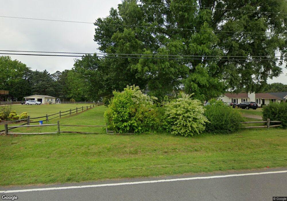
714 Langtree Rd Mooresville, NC 28117
Lake Norman NeighborhoodEstimated Value: $321,000 - $511,000
3
Beds
2
Baths
1,674
Sq Ft
$234/Sq Ft
Est. Value
About This Home
This home is located at 714 Langtree Rd, Mooresville, NC 28117 and is currently estimated at $391,344, approximately $233 per square foot. 714 Langtree Rd is a home located in Iredell County with nearby schools including Coddle Creek Elementary School, Lake Norman High School, and Langtree Charter Academy.
Ownership History
Date
Name
Owned For
Owner Type
Purchase Details
Closed on
Apr 6, 2020
Sold by
Ashburn Nancy B
Bought by
Lund Edward M and Lund Janet E
Current Estimated Value
Home Financials for this Owner
Home Financials are based on the most recent Mortgage that was taken out on this home.
Original Mortgage
$174,775
Outstanding Balance
$155,381
Interest Rate
3.12%
Mortgage Type
FHA
Estimated Equity
$235,963
Purchase Details
Closed on
Feb 1, 1987
Purchase Details
Closed on
Jun 1, 1978
Purchase Details
Closed on
Jun 1, 1977
Purchase Details
Closed on
Jun 1, 1901
Create a Home Valuation Report for This Property
The Home Valuation Report is an in-depth analysis detailing your home's value as well as a comparison with similar homes in the area
Home Values in the Area
Average Home Value in this Area
Purchase History
| Date | Buyer | Sale Price | Title Company |
|---|---|---|---|
| Lund Edward M | $179,000 | None Available | |
| -- | -- | -- | |
| -- | $42,500 | -- | |
| -- | $9,000 | -- | |
| -- | -- | -- |
Source: Public Records
Mortgage History
| Date | Status | Borrower | Loan Amount |
|---|---|---|---|
| Open | Lund Edward M | $174,775 | |
| Previous Owner | Ashburn Nancy B | $102,000 | |
| Previous Owner | Ashburn Nancy B | $104,633 | |
| Previous Owner | Ashburn Nancy B | $103,500 | |
| Previous Owner | Ashburn Nancy B | $56,300 |
Source: Public Records
Tax History Compared to Growth
Tax History
| Year | Tax Paid | Tax Assessment Tax Assessment Total Assessment is a certain percentage of the fair market value that is determined by local assessors to be the total taxable value of land and additions on the property. | Land | Improvement |
|---|---|---|---|---|
| 2024 | $1,326 | $214,540 | $85,000 | $129,540 |
| 2023 | $1,326 | $214,540 | $85,000 | $129,540 |
| 2022 | $1,036 | $155,550 | $62,000 | $93,550 |
| 2021 | $1,032 | $155,550 | $62,000 | $93,550 |
| 2020 | $1,032 | $155,550 | $62,000 | $93,550 |
| 2019 | $985 | $155,550 | $62,000 | $93,550 |
| 2018 | $902 | $144,670 | $62,000 | $82,670 |
| 2017 | $902 | $144,670 | $62,000 | $82,670 |
| 2016 | $902 | $144,670 | $62,000 | $82,670 |
| 2015 | $895 | $144,670 | $62,000 | $82,670 |
| 2014 | $760 | $133,670 | $50,000 | $83,670 |
Source: Public Records
Map
Nearby Homes
- 728 Langtree Rd
- 120 Lakeshore Dr
- 116 Lakewood Circle Dr
- 124 Slocumb Ln
- 169 Southhaven Dr
- 132 Bridgeport Dr
- 119 Southhaven Dr
- 123 Southhaven Dr
- 522 Langtree Rd
- 103 Turnerlair Ct
- 15.4 Acres Langtree Rd
- 119 Pin Oak Ln
- 134 Lawrence Tee Ln
- 117 Lanyard Dr Unit E
- 122 Lanyard Dr Unit B
- 145 Beacon Dr Unit F
- 22554 John Gamble Rd
- 21528 Norman Shores Dr
- 22501 John Gamble Rd
- 302 Northwest Dr