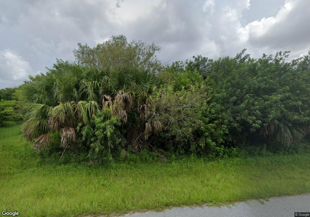
714 McDill Dr Unit 722 Port Charlotte, FL 33953
Northwest Port Charlotte NeighborhoodEstimated Value: $61,213 - $92,000
3
Beds
2
Baths
2,258
Sq Ft
$35/Sq Ft
Est. Value
About This Home
This home is located at 714 McDill Dr Unit 722, Port Charlotte, FL 33953 and is currently estimated at $78,303, approximately $34 per square foot. 714 McDill Dr Unit 722 is a home located in Charlotte County with nearby schools including Liberty Elementary School, Murdock Middle School, and Port Charlotte High School.
Ownership History
Date
Name
Owned For
Owner Type
Purchase Details
Closed on
Aug 1, 2017
Sold by
Schneider Paul and Schneider Ursula
Bought by
Auger Roy D and Auger Patricia M
Current Estimated Value
Purchase Details
Closed on
Apr 4, 2005
Sold by
Williams Brian
Bought by
Abw Holdings Llc
Purchase Details
Closed on
Feb 25, 2002
Sold by
Stephan Charles P
Bought by
Oliva Vincent and Oliva Irene
Purchase Details
Closed on
Sep 25, 2001
Sold by
Swindell Kathleen
Bought by
Stephan Charles P
Create a Home Valuation Report for This Property
The Home Valuation Report is an in-depth analysis detailing your home's value as well as a comparison with similar homes in the area
Home Values in the Area
Average Home Value in this Area
Purchase History
| Date | Buyer | Sale Price | Title Company |
|---|---|---|---|
| Auger Roy D | $25,000 | Siesta Title And Escrow Serv | |
| Abw Holdings Llc | -- | -- | |
| Oliva Vincent | -- | -- | |
| Oliva Vincent | $13,000 | -- | |
| Stephan Charles P | $7,500 | -- |
Source: Public Records
Tax History Compared to Growth
Tax History
| Year | Tax Paid | Tax Assessment Tax Assessment Total Assessment is a certain percentage of the fair market value that is determined by local assessors to be the total taxable value of land and additions on the property. | Land | Improvement |
|---|---|---|---|---|
| 2023 | $1,326 | $56,032 | $56,032 | $0 |
| 2022 | $975 | $48,280 | $48,280 | $0 |
| 2021 | $799 | $22,440 | $22,440 | $0 |
| 2020 | $792 | $22,440 | $22,440 | $0 |
| 2019 | $782 | $21,760 | $21,760 | $0 |
| 2018 | $754 | $21,216 | $21,216 | $0 |
| 2017 | $811 | $24,548 | $24,548 | $0 |
| 2016 | $782 | $22,440 | $0 | $0 |
| 2015 | $789 | $20,570 | $0 | $0 |
| 2014 | $672 | $18,700 | $0 | $0 |
Source: Public Records
Map
Nearby Homes
- 1211 Cheshire St
- 12147 Kraft Ave
- 1124 Cheshire St
- 1114 March Dr
- 1108 March Dr
- 1100 March Dr
- 1188 Beekman Cir
- 12160 Judson Ave
- 12152 Judson Ave
- 610 Mc Dill Dr
- 12333 Koenig Ln
- 12332 Corporal Cir
- 12196 Kraft Ave
- 12042 Kraft Ave
- 12090 Kraft Ave
- 1217 Beekman Cir
- 12324 Koenig Ln
- 602 McDill Dr
- 1225 Beekman Cir
- 12306 Defender Dr
- 714 McDill Dr
- 706 McDill Dr
- 722 McDill Dr
- 730 McDill Dr
- 1181 Cheshire St
- 690 McDill Dr
- 738 McDill Dr
- 1169 Cheshire St
- 1163 Cheshire St
- 12187 Federal Ave
- 1157 Cheshire St
- 1168 Cheshire St
- 12123 Federal Ave
- 12204 Federal Ave
- 12199 Federal Ave
- 750 McDill Dr
- 12172 Federal Ave
- 1216 Cheshire St
- 1150 Cheshire St
- 1199 Cheshire St
