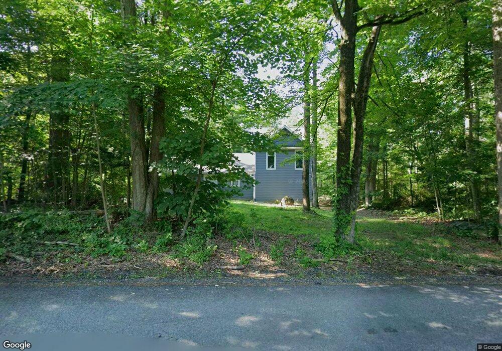
714 Mine Rd Quakertown, PA 18951
Estimated Value: $360,000 - $531,913
4
Beds
3
Baths
2,464
Sq Ft
$176/Sq Ft
Est. Value
About This Home
This home is located at 714 Mine Rd, Quakertown, PA 18951 and is currently estimated at $433,978, approximately $176 per square foot. 714 Mine Rd is a home located in Bucks County with nearby schools including Springfield Elementary School, Palisades Middle School, and Palisades High School.
Ownership History
Date
Name
Owned For
Owner Type
Purchase Details
Closed on
Jun 3, 2021
Sold by
The Bank Of New York Mellon
Bought by
Grant Steven
Current Estimated Value
Purchase Details
Closed on
May 12, 2020
Sold by
Screnci Joseph J and Screnci Susan J
Bought by
The Bank Of New York Mellon and The Bank Of New York
Purchase Details
Closed on
Jun 23, 1993
Sold by
Screnci Joseph
Bought by
Screnci Joseph J and Screnci Susan J
Purchase Details
Closed on
Apr 24, 1987
Bought by
Screnci Joseph
Create a Home Valuation Report for This Property
The Home Valuation Report is an in-depth analysis detailing your home's value as well as a comparison with similar homes in the area
Home Values in the Area
Average Home Value in this Area
Purchase History
| Date | Buyer | Sale Price | Title Company |
|---|---|---|---|
| Grant Steven | $253,920 | Trident Land Transfer Co Lp | |
| The Bank Of New York Mellon | $1,064 | None Available | |
| Screnci Joseph J | -- | -- | |
| Screnci Joseph | $99,000 | -- |
Source: Public Records
Tax History Compared to Growth
Tax History
| Year | Tax Paid | Tax Assessment Tax Assessment Total Assessment is a certain percentage of the fair market value that is determined by local assessors to be the total taxable value of land and additions on the property. | Land | Improvement |
|---|---|---|---|---|
| 2025 | $5,028 | $31,000 | $7,160 | $23,840 |
| 2024 | $5,028 | $31,000 | $7,160 | $23,840 |
| 2023 | $4,966 | $31,000 | $7,160 | $23,840 |
| 2022 | $4,819 | $31,000 | $7,160 | $23,840 |
| 2021 | $4,726 | $31,000 | $7,160 | $23,840 |
| 2020 | $4,726 | $31,000 | $7,160 | $23,840 |
| 2019 | $4,673 | $31,000 | $7,160 | $23,840 |
| 2018 | $4,642 | $31,000 | $7,160 | $23,840 |
| 2017 | $4,571 | $31,000 | $7,160 | $23,840 |
| 2016 | $4,571 | $31,000 | $7,160 | $23,840 |
| 2015 | $3,224 | $31,000 | $7,160 | $23,840 |
| 2014 | $3,224 | $31,000 | $7,160 | $23,840 |
Source: Public Records
Map
Nearby Homes
- 1525 Clay Ave
- 114 Ashford Dr
- 126 Ashford Dr
- 168 Ashford Dr
- 5871 Applebutter Hill
- 132 Ashford Dr Unit HOMESITE 0002
- 132 Ashford Dr Unit HOMESITE 0020
- 132 Ashford Dr Unit HOMESITE 0012
- 132 Ashford Dr Unit HOMESITE 0001
- 0 Kellers Rd
- 0 Shelly Rd
- 3421 Old Bethlehem Pike
- 7555 Clayton Ave
- 0 Hickon Rd
- 7522 Clayton Ave
- 7512 S Main St
- 13 Fairway Cir
- 1 Clubhouse Terrace
- 6 Evergreen Dr
- 2385 W Zion Hill Rd