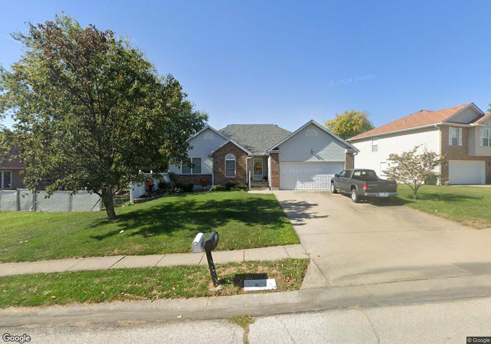
714 Shamrock Ln Warrensburg, MO 64093
Estimated Value: $292,000 - $337,000
3
Beds
3
Baths
2,752
Sq Ft
$113/Sq Ft
Est. Value
About This Home
This home is located at 714 Shamrock Ln, Warrensburg, MO 64093 and is currently estimated at $312,194, approximately $113 per square foot. 714 Shamrock Ln is a home located in Johnson County with nearby schools including Maple Grove Elementary School, Martin Warren Elementary School, and Warrensburg Middle School.
Ownership History
Date
Name
Owned For
Owner Type
Purchase Details
Closed on
Mar 29, 2010
Sold by
Bohannan Randall J and Bohannan Marilyn F
Bought by
Toeliner Martha L and The Martha Toellner Trust
Current Estimated Value
Purchase Details
Closed on
Mar 18, 2005
Sold by
Marques Mitchell L
Bought by
Bohanan Randall J and Bohanan Marilyn F
Home Financials for this Owner
Home Financials are based on the most recent Mortgage that was taken out on this home.
Original Mortgage
$135,600
Interest Rate
5.71%
Mortgage Type
New Conventional
Create a Home Valuation Report for This Property
The Home Valuation Report is an in-depth analysis detailing your home's value as well as a comparison with similar homes in the area
Home Values in the Area
Average Home Value in this Area
Purchase History
| Date | Buyer | Sale Price | Title Company |
|---|---|---|---|
| Toeliner Martha L | -- | None Available | |
| Bohanan Randall J | -- | Western Missouri Title Co |
Source: Public Records
Mortgage History
| Date | Status | Borrower | Loan Amount |
|---|---|---|---|
| Previous Owner | Bohanan Randall J | $135,600 |
Source: Public Records
Tax History
| Year | Tax Paid | Tax Assessment Tax Assessment Total Assessment is a certain percentage of the fair market value that is determined by local assessors to be the total taxable value of land and additions on the property. | Land | Improvement |
|---|---|---|---|---|
| 2025 | $2,477 | $34,609 | $0 | $0 |
| 2024 | $2,438 | $31,926 | $0 | $0 |
| 2023 | $2,438 | $31,926 | $0 | $0 |
| 2022 | $2,354 | $30,689 | $0 | $0 |
| 2021 | $2,346 | $30,689 | $0 | $0 |
| 2020 | $2,276 | $29,452 | $0 | $0 |
| 2019 | $2,274 | $29,452 | $0 | $0 |
| 2017 | $2,269 | $29,452 | $0 | $0 |
| 2016 | $1,982 | $27,922 | $0 | $0 |
| 2015 | $2,036 | $27,922 | $0 | $0 |
| 2014 | $1,766 | $27,922 | $0 | $0 |
Source: Public Records
Map
Nearby Homes
- 1103 N Eli Ln
- 1011 Eli Ln
- 411 10th Street Terrace
- 991 S Mitchell St
- 1007 Vest Dr
- 903 E Clark St
- 912 Vest Dr
- 1106 S Mitchell St
- 300 9th St
- 700 E Clark St
- 1006 Deer Run
- 1008 Anderson St
- 530 Hamilton St
- 204 Sellman St
- 1205 Half Day Dr
- 1593 Essex Dr
- 944 Ridge Dr
- 1219 S Countryview Ln
- 942 Ridge Dr
- 503 Quail Trail
- 712 Shamrock Ln
- 1307 Shamrock Ct
- 1305 Shamrock Ct
- 710 Shamrock Ln
- 715 Shamrock Ln
- 713 Shamrock Ln
- 1303 Shamrock Ct
- 717 Shamrock Ln
- 711 Shamrock Ln
- 708 Shamrock Ln
- 719 Shamrock Ln
- 705 Shamrock Ln
- 1308 Shamrock Ct
- 1301 Shamrock Ct
- 706 Shamrock Ln
- 1400 Summit Crest Ct
- 1402 Summit Crest Ct
- 721 Shamrock Ln
- 1306 Shamrock Ct
- 703 Shamrock Ln
Your Personal Tour Guide
Ask me questions while you tour the home.