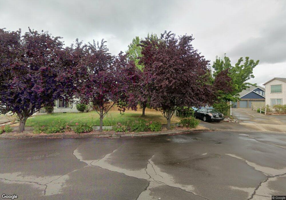
7142 SE Lois St Hillsboro, OR 97123
Southeast Hillsboro NeighborhoodEstimated Value: $397,000 - $495,000
3
Beds
3
Baths
1,434
Sq Ft
$306/Sq Ft
Est. Value
About This Home
This home is located at 7142 SE Lois St, Hillsboro, OR 97123 and is currently estimated at $438,908, approximately $306 per square foot. 7142 SE Lois St is a home located in Washington County with nearby schools including Imlay Elementary School, R.A. Brown Middle School, and Century High School.
Ownership History
Date
Name
Owned For
Owner Type
Purchase Details
Closed on
Jun 24, 2022
Sold by
Kremidas Julianne
Bought by
Kremidas Julianne and Kremidas-Keough Mary Devin
Current Estimated Value
Purchase Details
Closed on
Apr 30, 1998
Sold by
Keys Homes Inc
Bought by
Kremidas Julianne
Home Financials for this Owner
Home Financials are based on the most recent Mortgage that was taken out on this home.
Original Mortgage
$120,600
Interest Rate
7.05%
Create a Home Valuation Report for This Property
The Home Valuation Report is an in-depth analysis detailing your home's value as well as a comparison with similar homes in the area
Home Values in the Area
Average Home Value in this Area
Purchase History
| Date | Buyer | Sale Price | Title Company |
|---|---|---|---|
| Kremidas Julianne | -- | None Listed On Document | |
| Kremidas Julianne | $126,950 | Fidelity National Title Co |
Source: Public Records
Mortgage History
| Date | Status | Borrower | Loan Amount |
|---|---|---|---|
| Previous Owner | Kremidas Julianne | $120,600 |
Source: Public Records
Tax History Compared to Growth
Tax History
| Year | Tax Paid | Tax Assessment Tax Assessment Total Assessment is a certain percentage of the fair market value that is determined by local assessors to be the total taxable value of land and additions on the property. | Land | Improvement |
|---|---|---|---|---|
| 2025 | $3,665 | $224,230 | -- | -- |
| 2024 | $3,561 | $217,700 | -- | -- |
| 2023 | $3,561 | $211,360 | $0 | $0 |
| 2022 | $3,464 | $211,360 | $0 | $0 |
| 2021 | $3,395 | $199,240 | $0 | $0 |
| 2020 | $3,322 | $193,440 | $0 | $0 |
| 2019 | $3,226 | $187,810 | $0 | $0 |
| 2018 | $3,088 | $182,340 | $0 | $0 |
| 2017 | $2,976 | $177,030 | $0 | $0 |
| 2016 | $2,895 | $171,880 | $0 | $0 |
| 2015 | $2,778 | $166,880 | $0 | $0 |
| 2014 | $2,762 | $162,020 | $0 | $0 |
Source: Public Records
Map
Nearby Homes
- 7082 SE Lois St
- 7200 SE Harnish St
- 818 SE 68th Place
- 6874 SE Ariel St
- 7259 SE Harnish St
- 7397 SE Langwood St
- 6641 SE Wrenfield St
- 1355 SE 68th Ave
- 7355 SE Frances St
- 6550 SE Wrenfield St
- 573 SE 73rd Ave
- 6751 SE Madison St
- 6428 SE Austin Ct
- 1686 SE 74th Ave
- 862 SE 63rd Dr
- 1372 SW 217th Ave
- 6461 SE Maple St
- 6417 SE Maple St
- 21612 SW Kristin Ct
- 569 NE Natalie St
- 7144 SE Lois St
- 7126 SE Lois St
- 7158 SE Lois St
- 7124 SE Lois St
- 7160 SE Lois St
- 7110 SE Lois St
- 7157 SE Austin Dr
- 7201 SE Austin Dr
- 7108 SE Lois St
- 7176 SE Lois St
- 894 SE 71st Ave
- 7213 SE Austin Dr
- 7185 SE Austin Dr
- 7143 SE Austin Dr
- 7145 SE Lois St
- 882 SE 71st Ave Unit 1
- 882 SE 71st Ave
- 7217 SE Austin Dr
- 7177 SE Lois St
- 897 SE 71st Ave