7143 Bill Dorn Rd Appling, GA 30802
Estimated Value: $539,000 - $571,000
3
Beds
3
Baths
2,545
Sq Ft
$219/Sq Ft
Est. Value
About This Home
This home is located at 7143 Bill Dorn Rd, Appling, GA 30802 and is currently estimated at $556,339, approximately $218 per square foot. 7143 Bill Dorn Rd is a home located in Columbia County with nearby schools including Washington Elementary School, Hammock Pointe Elementary School, and North Columbia Elementary School.
Ownership History
Date
Name
Owned For
Owner Type
Purchase Details
Closed on
Jun 22, 2018
Sold by
Tahan Steven G
Bought by
Herring Lance
Current Estimated Value
Home Financials for this Owner
Home Financials are based on the most recent Mortgage that was taken out on this home.
Original Mortgage
$334,000
Outstanding Balance
$289,501
Interest Rate
4.6%
Mortgage Type
VA
Estimated Equity
$266,838
Create a Home Valuation Report for This Property
The Home Valuation Report is an in-depth analysis detailing your home's value as well as a comparison with similar homes in the area
Home Values in the Area
Average Home Value in this Area
Purchase History
| Date | Buyer | Sale Price | Title Company |
|---|---|---|---|
| Herring Lance | $334,000 | -- |
Source: Public Records
Mortgage History
| Date | Status | Borrower | Loan Amount |
|---|---|---|---|
| Open | Herring Lance | $334,000 |
Source: Public Records
Tax History Compared to Growth
Tax History
| Year | Tax Paid | Tax Assessment Tax Assessment Total Assessment is a certain percentage of the fair market value that is determined by local assessors to be the total taxable value of land and additions on the property. | Land | Improvement |
|---|---|---|---|---|
| 2025 | $2,393 | $223,738 | $130,624 | $93,114 |
| 2024 | $2,393 | $177,279 | $97,299 | $79,980 |
| 2023 | $2,393 | $133,189 | $58,228 | $74,961 |
| 2022 | $2,205 | $123,143 | $49,035 | $74,108 |
| 2021 | $2,088 | $115,157 | $49,035 | $66,122 |
| 2020 | $2,165 | $79,960 | $12,585 | $67,375 |
| 2019 | $1,955 | $72,393 | $12,505 | $59,888 |
| 2018 | $1,850 | $68,380 | $12,424 | $55,956 |
| 2017 | $1,574 | $58,246 | $12,350 | $45,896 |
| 2016 | $1,374 | $52,982 | $10,166 | $42,816 |
| 2015 | $1,349 | $51,987 | $10,093 | $41,894 |
| 2014 | $1,375 | $52,316 | $10,027 | $42,289 |
Source: Public Records
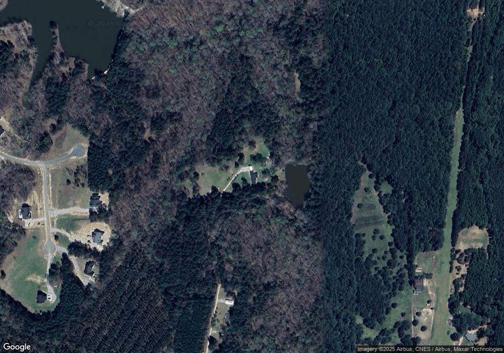
Map
Nearby Homes
- 7208 Bill Dorn Rd
- 7208 Bill Dorn Rd Unit 9
- 7200 Bill Dorn Rd
- 7200 Bill Dorn Rd Unit 11
- Oakwood Plan at Dornwood Estates
- 7204 Bill Dorn Rd
- Magnolia Plan at Dornwood Estates
- 7204 Bill Dorn Rd Unit 10
- Cannaberra Plan at Dornwood Estates
- Harrison Plan at Dornwood Estates
- Cypress Plan at Dornwood Estates
- Jackson Plan at Dornwood Estates
- Belmont Plan at Dornwood Estates
- Camden Plan at Dornwood Estates
- 211 Olmstead Ln
- 7051 Bill Dorn Rd
- 340 Arthur Grimaud Way
- 4960 White Oak Rd
- 7196 Bill Dorn Rd Unit 12
- 1807 Smith Crawford Rd
- 7107 Bill Dorn Rd
- 259 Olmstead Ln
- 7123 Bill Dorn Rd
- 5164 White Oak Rd
- 0 Bill Dorn Rd
- LOT E Bill Dorn Rd
- LOT D Bill Dorn Rd
- LOT C Bill Dorn Rd
- LOT B Bill Dorn Rd
- LOT A Bill Dorn Rd
- 235 Olmstead Ln
- 7077 Bill Dorn Rd
- 380 Arthur Grimaud Way
- 223 Olmstead Ln
- 7132 Bill Dorn Rd
- 7063 Bill Dorn Rd
- 370 Arthur Grimaud Way
- 385 Arthur Grimaud Way
- 331 Hampton Way
- 321 Hampton Way