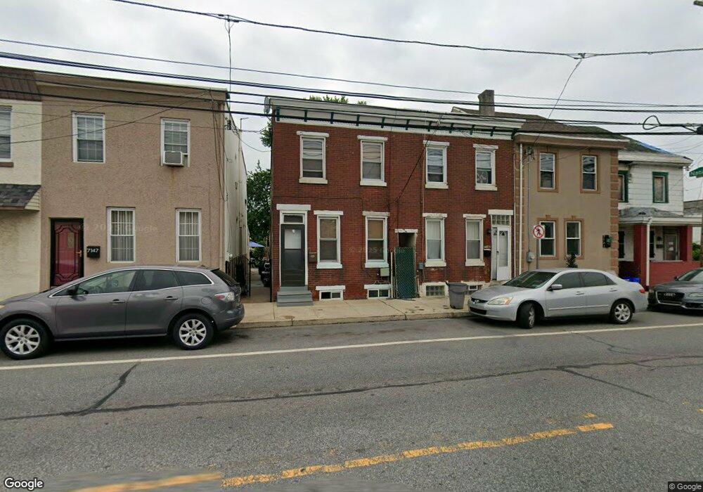
7143 State Rd Philadelphia, PA 19135
Tacony NeighborhoodEstimated Value: $140,000 - $203,000
--
Bed
--
Bath
1,080
Sq Ft
$170/Sq Ft
Est. Value
About This Home
This home is located at 7143 State Rd, Philadelphia, PA 19135 and is currently estimated at $183,149, approximately $169 per square foot. 7143 State Rd is a home located in Philadelphia County with nearby schools including Edwin Forrest Elementary School, Lincoln High School, and Meehan Austin Middle School.
Ownership History
Date
Name
Owned For
Owner Type
Purchase Details
Closed on
May 23, 2000
Sold by
Williams Leon B and Williams Nancy
Bought by
Williams Leon B and Williams Nancy
Current Estimated Value
Create a Home Valuation Report for This Property
The Home Valuation Report is an in-depth analysis detailing your home's value as well as a comparison with similar homes in the area
Home Values in the Area
Average Home Value in this Area
Purchase History
| Date | Buyer | Sale Price | Title Company |
|---|---|---|---|
| Williams Leon B | -- | -- |
Source: Public Records
Tax History Compared to Growth
Tax History
| Year | Tax Paid | Tax Assessment Tax Assessment Total Assessment is a certain percentage of the fair market value that is determined by local assessors to be the total taxable value of land and additions on the property. | Land | Improvement |
|---|---|---|---|---|
| 2025 | $1,807 | $167,100 | $33,420 | $133,680 |
| 2024 | $1,807 | $167,100 | $33,420 | $133,680 |
| 2023 | $1,807 | $129,100 | $25,820 | $103,280 |
| 2022 | $1,433 | $129,100 | $25,820 | $103,280 |
| 2021 | $1,433 | $0 | $0 | $0 |
| 2020 | $1,433 | $0 | $0 | $0 |
| 2019 | $1,376 | $0 | $0 | $0 |
| 2018 | $1,337 | $0 | $0 | $0 |
| 2017 | $1,337 | $0 | $0 | $0 |
| 2016 | $1,337 | $0 | $0 | $0 |
| 2015 | $1,280 | $0 | $0 | $0 |
| 2014 | -- | $95,500 | $22,812 | $72,688 |
| 2012 | -- | $3,040 | $1,953 | $1,087 |
Source: Public Records
Map
Nearby Homes
- 7108 James St
- 4928 Princeton Ave
- 7146 Tulip St
- 4801 Princeton Ave
- 4735 Princeton Ave
- 4729 Princeton Ave
- 4726 Princeton Ave
- 7036 Vandike St
- 4633 Princeton Ave
- 6910 Tulip St
- 4621 Princeton Ave
- 7233 Marsden St Unit 1
- 4900 Longshore Ave
- 4615 Princeton Ave
- 4709 Disston St
- 6816 Tulip St
- 6822 Edmund St
- 4745 Loring St
- 4756 Vista St
- 4907 Rawle St