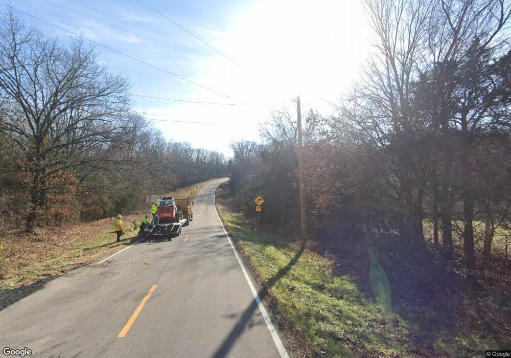
7144 Highway Hh Catawissa, MO 63015
Estimated Value: $252,000 - $296,000
3
Beds
2
Baths
1,064
Sq Ft
$257/Sq Ft
Est. Value
About This Home
This home is located at 7144 Highway Hh, Catawissa, MO 63015 and is currently estimated at $273,306, approximately $256 per square foot. 7144 Highway Hh is a home located in Franklin County with nearby schools including Pacific High School.
Ownership History
Date
Name
Owned For
Owner Type
Purchase Details
Closed on
Jan 31, 2018
Sold by
Bertholomey Christopher R and Bertholomey Amada J
Bought by
Williams Michaelle A and Williams Jaclyn D
Current Estimated Value
Home Financials for this Owner
Home Financials are based on the most recent Mortgage that was taken out on this home.
Original Mortgage
$186,558
Outstanding Balance
$159,650
Interest Rate
3.95%
Mortgage Type
FHA
Estimated Equity
$114,409
Purchase Details
Closed on
Feb 27, 2015
Sold by
Bw Real Estate Llc
Bought by
Moore Amanda J and Bertholomey Christopher R
Home Financials for this Owner
Home Financials are based on the most recent Mortgage that was taken out on this home.
Original Mortgage
$141,291
Interest Rate
3.68%
Mortgage Type
FHA
Purchase Details
Closed on
Dec 11, 2012
Sold by
Frisch Richard V and Frisch Sheila J
Bought by
Bw Real Estate Llc
Purchase Details
Closed on
Nov 1, 2005
Sold by
Bean Mark A and Bean Rita K
Bought by
Solidarity Farms Llc
Create a Home Valuation Report for This Property
The Home Valuation Report is an in-depth analysis detailing your home's value as well as a comparison with similar homes in the area
Home Values in the Area
Average Home Value in this Area
Purchase History
| Date | Buyer | Sale Price | Title Company |
|---|---|---|---|
| Williams Michaelle A | $190,000 | -- | |
| Moore Amanda J | -- | -- | |
| Bw Real Estate Llc | $90,000 | None Available | |
| Solidarity Farms Llc | -- | None Available |
Source: Public Records
Mortgage History
| Date | Status | Borrower | Loan Amount |
|---|---|---|---|
| Open | Williams Michaelle A | $186,558 | |
| Previous Owner | Moore Amanda J | $141,291 |
Source: Public Records
Tax History Compared to Growth
Tax History
| Year | Tax Paid | Tax Assessment Tax Assessment Total Assessment is a certain percentage of the fair market value that is determined by local assessors to be the total taxable value of land and additions on the property. | Land | Improvement |
|---|---|---|---|---|
| 2024 | $2,036 | $27,214 | $0 | $0 |
| 2023 | $2,036 | $27,214 | $0 | $0 |
| 2022 | $1,644 | $23,872 | $0 | $0 |
| 2021 | $1,636 | $23,872 | $0 | $0 |
| 2020 | $1,462 | $21,301 | $0 | $0 |
| 2019 | $1,460 | $21,301 | $0 | $0 |
| 2018 | $1,353 | $19,325 | $0 | $0 |
| 2017 | $1,343 | $19,325 | $0 | $0 |
| 2016 | $1,357 | $19,310 | $0 | $0 |
| 2015 | $1,104 | $16,148 | $0 | $0 |
| 2014 | $811 | $12,061 | $0 | $0 |
Source: Public Records
Map
Nearby Homes
- 7 Hwy Hh
- 8 Hwy Hh
- 9 Hwy Hh
- 4173 S Shore Dr
- 1157 N Shore Dr
- 962 Martha Ave
- 4150 S Shore Dr
- 1085 Frisco Dr
- 3736 Jefferson St
- 0 Grand Loop
- 6376 Highway O
- 3553 Evergreen Dr
- 0 Stone Ridge Rd Unit MAR25025168
- 3830 Redwood Ln
- 0 Red Bud Unit MIS25053128
- 3956 & 3960 Redbud Dr
- 507 Pinewood Dr
- 0 Oak Hill Rd
- 3958 Highway Nn
- 0 Jefferson
- 7144 Highway Hh
- 7144 Highway Hh
- 7144 Highway Hh
- 7148 Highway Hh
- 2618 Nike Base Rd
- 7154 Highway Hh
- 1 North Shore
- 0 N Shore Dr Unit 11054218
- 1 N Shore Lot
- 2 N Shore Lot
- 0 N Shore Dr Unit MAR21044573
- 1HH & N Shore Dr Unit Lot 68 pt. 69 Blk 1
- 2604 Nike Base Rd
- 4101 S Shore Dr
- 1015 N Shore Dr
- 7129 Highway O
- 2596 Nike Base Rd
- 2596 Nike Base Rd
- 326 Cedar Brook Rd
- 2609 Nike Base Rd
