7145 Rook Rd Bridgeport, MI 48722
Estimated Value: $165,148 - $193,000
2
Beds
1
Bath
1,056
Sq Ft
$170/Sq Ft
Est. Value
About This Home
This home is located at 7145 Rook Rd, Bridgeport, MI 48722 and is currently estimated at $179,287, approximately $169 per square foot. 7145 Rook Rd is a home located in Saginaw County with nearby schools including Thomas White School, Iuka Elementary School, and Martin G. Atkins Elementary School.
Ownership History
Date
Name
Owned For
Owner Type
Purchase Details
Closed on
Oct 11, 2024
Sold by
Herline Janet L
Bought by
Robinson Quinn Patrick
Current Estimated Value
Home Financials for this Owner
Home Financials are based on the most recent Mortgage that was taken out on this home.
Original Mortgage
$178,762
Outstanding Balance
$176,706
Interest Rate
6.35%
Mortgage Type
VA
Estimated Equity
$2,581
Purchase Details
Closed on
Oct 18, 2022
Sold by
Herline Janet L
Bought by
Herline Janet L
Purchase Details
Closed on
Aug 23, 1994
Create a Home Valuation Report for This Property
The Home Valuation Report is an in-depth analysis detailing your home's value as well as a comparison with similar homes in the area
Home Values in the Area
Average Home Value in this Area
Purchase History
| Date | Buyer | Sale Price | Title Company |
|---|---|---|---|
| Robinson Quinn Patrick | $175,000 | None Listed On Document | |
| Robinson Quinn Patrick | $175,000 | None Listed On Document | |
| Herline Janet L | -- | None Listed On Document | |
| -- | $55,000 | -- |
Source: Public Records
Mortgage History
| Date | Status | Borrower | Loan Amount |
|---|---|---|---|
| Open | Robinson Quinn Patrick | $178,762 | |
| Closed | Robinson Quinn Patrick | $178,762 |
Source: Public Records
Tax History Compared to Growth
Tax History
| Year | Tax Paid | Tax Assessment Tax Assessment Total Assessment is a certain percentage of the fair market value that is determined by local assessors to be the total taxable value of land and additions on the property. | Land | Improvement |
|---|---|---|---|---|
| 2025 | $1,698 | $71,900 | $0 | $0 |
| 2024 | $419 | $66,200 | $0 | $0 |
| 2023 | $399 | $54,800 | $0 | $0 |
| 2022 | $1,422 | $48,400 | $0 | $0 |
| 2021 | $1,302 | $42,700 | $0 | $0 |
| 2020 | $1,267 | $39,700 | $0 | $0 |
| 2019 | $1,205 | $37,500 | $8,300 | $29,200 |
| 2018 | $348 | $37,700 | $0 | $0 |
| 2017 | $1,091 | $35,600 | $0 | $0 |
| 2016 | $1,177 | $34,300 | $0 | $0 |
| 2014 | -- | $30,200 | $0 | $23,300 |
| 2013 | -- | $30,000 | $0 | $0 |
Source: Public Records
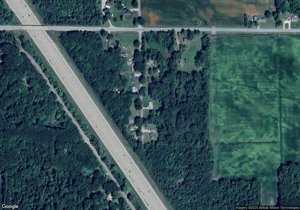
Map
Nearby Homes
- 7720 Rookway Rd
- Parcel E W Rolling Hills Dr
- Parcel B W Rolling Hills Dr
- Parcel D W Rolling Hills Dr
- Parcel F W Rolling Hills Dr
- Parcel C W Rolling Hills Dr
- 3875 Curtis Rd
- 5430 Busch Rd
- 7965 Dixie Hwy
- 7110 Townline Rd
- 4333 Riverview Dr
- 6605 Bridgeport Hwy
- VL Fort Rd
- 6412 Tin Lizzy Ln
- 9750 Marshall Rd
- 8780 Dixie Hwy
- 6580 Bell Rd
- 5885 McGrandy Rd
- 3130 E Moore Rd
- 4828 Rathbun Rd