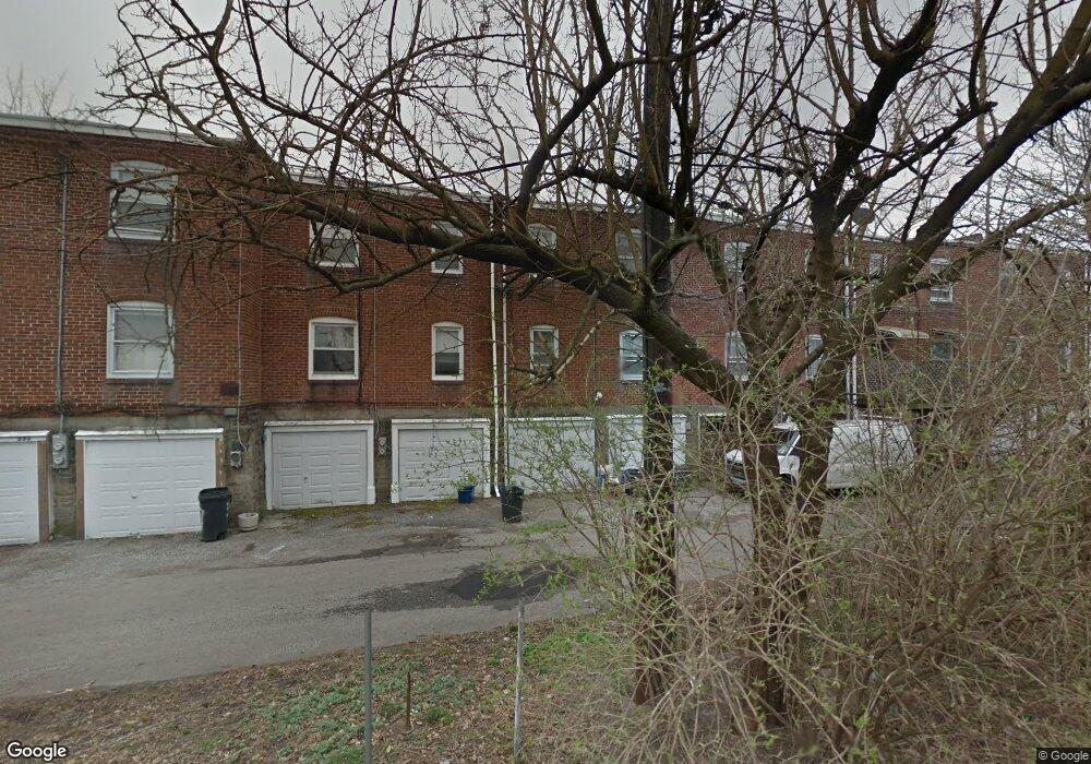
7147 Radbourne Rd Upper Darby, PA 19082
Estimated Value: $139,528 - $184,000
3
Beds
1
Bath
1,096
Sq Ft
$143/Sq Ft
Est. Value
About This Home
This home is located at 7147 Radbourne Rd, Upper Darby, PA 19082 and is currently estimated at $157,132, approximately $143 per square foot. 7147 Radbourne Rd is a home located in Delaware County with nearby schools including Upper Darby High School, Vision Academy Charter School, and SS. Cyril & Philomena Catholic School.
Ownership History
Date
Name
Owned For
Owner Type
Purchase Details
Closed on
Jan 14, 2002
Sold by
Spence Robert
Bought by
Landers Stephen R
Current Estimated Value
Home Financials for this Owner
Home Financials are based on the most recent Mortgage that was taken out on this home.
Original Mortgage
$22,500
Interest Rate
6.37%
Mortgage Type
Purchase Money Mortgage
Purchase Details
Closed on
Sep 17, 1996
Sold by
Monge Sara M
Bought by
Spence Robert
Home Financials for this Owner
Home Financials are based on the most recent Mortgage that was taken out on this home.
Original Mortgage
$24,500
Interest Rate
7.43%
Mortgage Type
Purchase Money Mortgage
Create a Home Valuation Report for This Property
The Home Valuation Report is an in-depth analysis detailing your home's value as well as a comparison with similar homes in the area
Home Values in the Area
Average Home Value in this Area
Purchase History
| Date | Buyer | Sale Price | Title Company |
|---|---|---|---|
| Landers Stephen R | $25,000 | Commonwealth Land Title Ins | |
| Spence Robert | $35,000 | -- |
Source: Public Records
Mortgage History
| Date | Status | Borrower | Loan Amount |
|---|---|---|---|
| Previous Owner | Landers Stephen R | $22,500 | |
| Previous Owner | Spence Robert | $24,500 |
Source: Public Records
Tax History Compared to Growth
Tax History
| Year | Tax Paid | Tax Assessment Tax Assessment Total Assessment is a certain percentage of the fair market value that is determined by local assessors to be the total taxable value of land and additions on the property. | Land | Improvement |
|---|---|---|---|---|
| 2025 | $2,749 | $65,010 | $13,660 | $51,350 |
| 2024 | $2,749 | $65,010 | $13,660 | $51,350 |
| 2023 | $2,723 | $65,010 | $13,660 | $51,350 |
| 2022 | $2,650 | $65,010 | $13,660 | $51,350 |
| 2021 | $3,573 | $65,010 | $13,660 | $51,350 |
| 2020 | $2,439 | $37,710 | $12,420 | $25,290 |
| 2019 | $2,396 | $37,710 | $12,420 | $25,290 |
| 2018 | $2,369 | $37,710 | $0 | $0 |
| 2017 | $2,307 | $37,710 | $0 | $0 |
| 2016 | $207 | $37,710 | $0 | $0 |
| 2015 | $207 | $37,710 | $0 | $0 |
| 2014 | $207 | $37,710 | $0 | $0 |
Source: Public Records
Map
Nearby Homes
- 7162 Radbourne Rd
- 7155 Radbourne Rd
- 726 Copley Rd
- 7042 Clinton Rd
- 669 Long Ln
- 660 Copley Rd
- 7216 Clinton Rd
- 607 Littlecroft Rd
- 7129 Seaford Rd
- 7123 Seaford Rd
- 6997 Guilford Rd
- 7229 Clinton Rd
- 7046 Radbourne Rd
- 7000 Greenwood Ave
- 558 Snowden Rd
- 540 Snowden Rd
- 7026 Atlantic Ave
- 535 Glendale Rd
- 404 Croyden Rd
- 7181 Ruskin Ln
- 7145 Radbourne Rd
- 7149 Radbourne Rd
- 7143 Radbourne Rd
- 7135 Radbourne Rd
- 7141 Radbourne Rd
- 7153 Radbourne Rd
- 7131 Radbourne Rd
- 7137 Radbourne Rd
- 7139 Radbourne Rd
- 7157 Radbourne Rd
- 7056 Clinton Rd
- 7052 Clinton Rd
- 7060 Clinton Rd
- 7050 Clinton Rd
- 7159 Radbourne Rd
- 7048 Clinton Rd
- 7133 Radbourne Rd
- 7046 Clinton Rd
- 7058 Clinton Rd