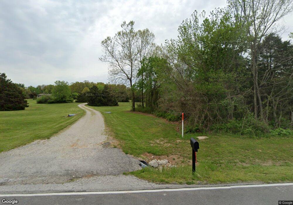
7148 E State Highway C Strafford, MO 65757
Estimated Value: $446,000 - $579,000
4
Beds
3
Baths
2,871
Sq Ft
$182/Sq Ft
Est. Value
About This Home
This home is located at 7148 E State Highway C, Strafford, MO 65757 and is currently estimated at $523,474, approximately $182 per square foot. 7148 E State Highway C is a home located in Greene County with nearby schools including Strafford Elementary School, Strafford Middle School, and Strafford High School.
Ownership History
Date
Name
Owned For
Owner Type
Purchase Details
Closed on
Apr 5, 2023
Sold by
Phillips Jana Ault
Bought by
Hunter Properties Inc
Current Estimated Value
Purchase Details
Closed on
Jun 9, 2015
Sold by
Phillips Stephen R and Phillips Jana M
Bought by
Phillips Family Trust and Phillips Steve
Create a Home Valuation Report for This Property
The Home Valuation Report is an in-depth analysis detailing your home's value as well as a comparison with similar homes in the area
Purchase History
| Date | Buyer | Sale Price | Title Company |
|---|---|---|---|
| Hunter Properties Inc | -- | None Listed On Document | |
| Hunter Properties Inc | -- | None Listed On Document | |
| Phillips Jana Ault | -- | None Listed On Document | |
| Phillips Family Trust | -- | None Available |
Source: Public Records
Tax History
| Year | Tax Paid | Tax Assessment Tax Assessment Total Assessment is a certain percentage of the fair market value that is determined by local assessors to be the total taxable value of land and additions on the property. | Land | Improvement |
|---|---|---|---|---|
| 2025 | $2,741 | $52,010 | $7,780 | $44,230 |
| 2024 | $2,543 | $46,590 | $5,880 | $40,710 |
| 2023 | $2,561 | $46,590 | $5,880 | $40,710 |
| 2022 | $2,192 | $42,080 | $5,880 | $36,200 |
| 2021 | $2,063 | $42,080 | $5,880 | $36,200 |
| 2020 | $1,974 | $39,620 | $5,880 | $33,740 |
| 2019 | $1,967 | $39,620 | $5,880 | $33,740 |
| 2018 | $1,981 | $39,610 | $5,890 | $33,720 |
| 2017 | $1,964 | $39,470 | $5,890 | $33,580 |
| 2016 | $1,949 | $39,470 | $5,890 | $33,580 |
| 2015 | $1,948 | $39,470 | $5,890 | $33,580 |
| 2014 | $1,939 | $38,980 | $5,880 | $33,100 |
Source: Public Records
Map
Nearby Homes
- Tract 2 N State Highway 215
- 000 E State Highway C
- 7157 E Farm Road 84
- 000 E Farm Road 68 Unit Parcel 3
- 809 N Washington St
- 6118 E Farm Road 84
- 000 N Farm Road 215 Unit Parcel 1
- 000 N Farm Road 215 Unit Parcel 2
- Tbd E Farm Road 104
- 7197 N State Highway 125
- 3246 Missouri 125
- 4070 N Castle Oaks Blvd
- 4885 N Crows Nest Ln
- 7222 N Farm Road 203
- 7308 N Farm Road 203
- 113 E Comanche Ct
- 101 E Osage St
- 605 S Birchwood St
- 5096 N Farm Road 197
- 211 E Seminole St
- 7176 E State Highway C
- 7022 E State Highway C
- 7071 E Farm Road 80
- 7051 E Farm Road 80
- 7145 E Farm Road 80
- 7281 E State Highway C
- 7197 E Farm Road 80
- 6916 E State Highway C
- 7197 E State Highway C
- 5747 N Farm Road 223
- 7215 E Farm Road 80
- 6821 E Farm Road 80
- 6826 E State Highway C
- 5515 N Farm Rd Unit 191
- 5776 N Farm Road 223
- 5714 N Farm Road 223
- 5842 N Farm Road 223
- 6035 N Farm Road 223
- 5622 N Farm Road 223
- 5509 N Farm Road 223
Your Personal Tour Guide
Ask me questions while you tour the home.