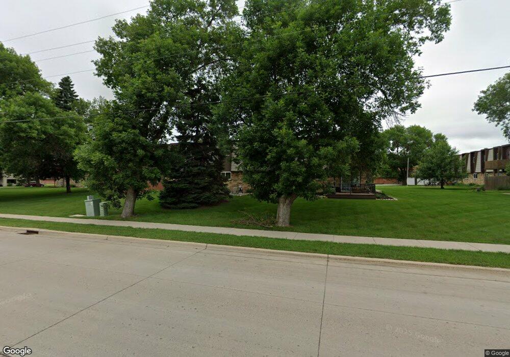
715 32nd Ave N Fargo, ND 58102
Trollwood Neighborhood
3
Beds
2
Baths
1,108
Sq Ft
--
Built
About This Home
This home is located at 715 32nd Ave N, Fargo, ND 58102. 715 32nd Ave N is a home located in Cass County with nearby schools including McKinley Elementary School, Ben Franklin Middle School, and North High School.
Create a Home Valuation Report for This Property
The Home Valuation Report is an in-depth analysis detailing your home's value as well as a comparison with similar homes in the area
Home Values in the Area
Average Home Value in this Area
Tax History Compared to Growth
Map
Nearby Homes
- 801 32nd Ave N Unit A102
- 3129 8th St N
- 501 Forest Ave N Unit C
- 1031 Gibraltor Ave
- 3217 Cherry Ln N
- 3306 2nd St N Unit D26
- 2926 Edgewood Dr N
- 2937 Edgewood Dr N
- 2902 3rd St N
- 2925 Edgewood Dr N
- 108 32nd Ave N
- 2807 Edgewood Dr N
- 3531 1st St N
- 310 27th Ave N
- 21 35th Ave NE
- 2510 10th St N
- 87 28th Ave N
- 418 25th Ave N
- 101 27th Ave N
- 2512 2nd St N
- 715 32nd Ave N Unit B104
- 701 32nd Ave N Unit C204
- 701 32nd Ave N Unit C203
- 701 32nd Ave N Unit C202
- 701 32nd Ave N Unit C201
- 701 32nd Ave N Unit C104
- 701 32nd Ave N Unit C103
- 701 32nd Ave N Unit C102
- 701 32nd Ave N Unit C101
- 715 32nd Ave N Unit B204
- 715 32nd Ave N Unit B203
- 715 32nd Ave N Unit B202
- 715 32nd Ave N Unit B201
- 715 32nd Ave N Unit B103
- 715 32nd Ave N Unit B102
- 715 32nd Ave N Unit B101
- 701 32nd Ave N
- 715 32nd Ave N Unit 101 B
- 801 32nd Ave N Unit A202
- 801 32nd Ave N Unit A204