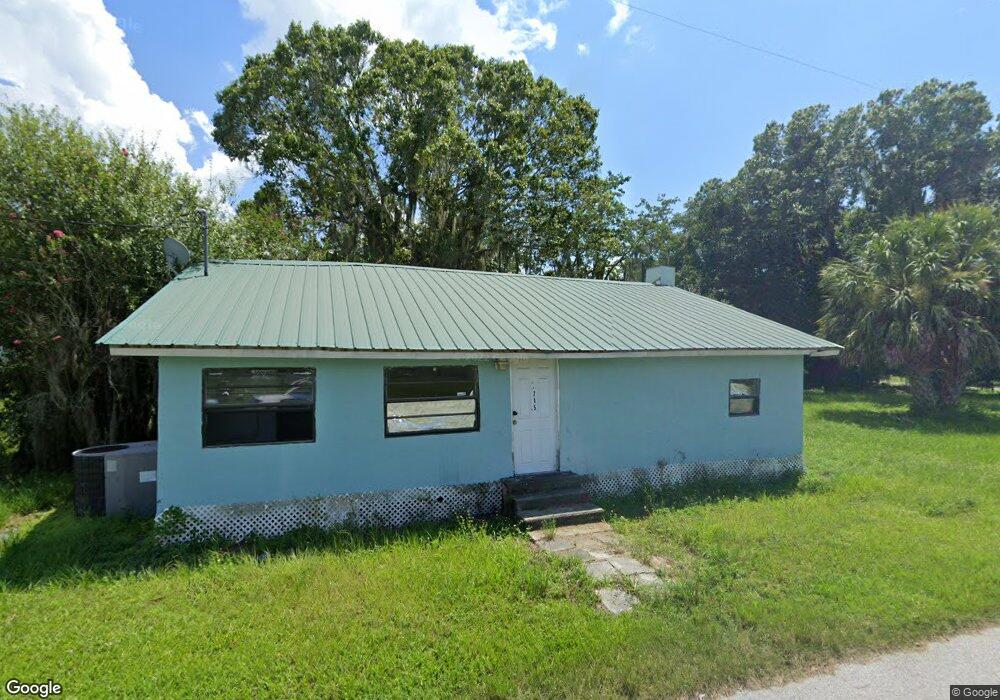
715 Bond St Arcadia, FL 34266
Estimated Value: $69,000 - $114,000
3
Beds
1
Bath
1,096
Sq Ft
$89/Sq Ft
Est. Value
About This Home
This home is located at 715 Bond St, Arcadia, FL 34266 and is currently estimated at $97,278, approximately $88 per square foot. 715 Bond St is a home located in DeSoto County with nearby schools including West Elementary School, DeSoto Middle School, and DeSoto County High School.
Ownership History
Date
Name
Owned For
Owner Type
Purchase Details
Closed on
May 20, 2019
Sold by
Harris Jai T
Bought by
Brown Horri L
Current Estimated Value
Purchase Details
Closed on
Sep 30, 2011
Sold by
Whitlock Donna
Bought by
Whitlock Donna and Brown Horri
Purchase Details
Closed on
Aug 18, 2009
Sold by
Brown Horri
Bought by
Harris Jai Twan
Purchase Details
Closed on
Dec 14, 2008
Sold by
Whitlock Donna
Bought by
Brown Horri
Purchase Details
Closed on
Aug 30, 2005
Sold by
Whitlock Daniel
Bought by
Whitlock Donna Faye
Create a Home Valuation Report for This Property
The Home Valuation Report is an in-depth analysis detailing your home's value as well as a comparison with similar homes in the area
Home Values in the Area
Average Home Value in this Area
Purchase History
| Date | Buyer | Sale Price | Title Company |
|---|---|---|---|
| Brown Horri L | -- | Attorney | |
| Whitlock Donna | -- | None Available | |
| Harris Jai Twan | -- | None Available | |
| Brown Horri | -- | None Available | |
| Whitlock Donna Faye | -- | -- |
Source: Public Records
Tax History
| Year | Tax Paid | Tax Assessment Tax Assessment Total Assessment is a certain percentage of the fair market value that is determined by local assessors to be the total taxable value of land and additions on the property. | Land | Improvement |
|---|---|---|---|---|
| 2024 | $1,378 | $77,548 | $3,000 | $74,548 |
| 2023 | $1,302 | $75,057 | $3,000 | $72,057 |
| 2022 | $1,221 | $44,259 | $0 | $0 |
| 2021 | $1,104 | $50,802 | $3,000 | $47,802 |
| 2020 | $1,032 | $46,044 | $3,000 | $43,044 |
| 2019 | $981 | $45,105 | $3,000 | $42,105 |
| 2018 | $901 | $39,253 | $0 | $39,253 |
| 2017 | $683 | $30,326 | $0 | $30,326 |
| 2016 | $743 | $26,270 | $0 | $26,270 |
| 2015 | $686 | $22,712 | $0 | $22,712 |
| 2014 | $665 | $22,302 | $0 | $22,302 |
Source: Public Records
Map
Nearby Homes
- 414 Spring Ave
- Xxxx Singleton Ave
- 228 Singleton Ave
- 224 Singleton Ave
- 314 W Owens Ave
- 1061 W Harris Rd
- 114 Singleton Ave
- 306 Watson Ave
- 0 Singleton Ave Unit MFRO6389804
- 0 Singleton Ave Unit 226010976
- 918 W Magnolia St
- 920 W Magnolia St
- 15 S Yulee Ave
- 34 Park Place Unit 34
- 33 Park Place Unit 33
- 31 Park Place Unit 31
- 35 Park Place Unit 35
- 37 Park Place Unit 37
- 27 S Manatee Ave
- 510 W Oak St
- 505 Spring Ave
- 706 Bond St
- 604 Madison Ave
- 510 Spring Ave
- 504 Madison Ave
- 519 Spring Ave
- 10602 Madison Ave
- 10560 Madison Ave
- 10494 Madison Ave
- 10704 Madison Ave
- Madison Ave
- Madison Ave
- 620 Madison Ave
- 500 Madison Ave
- 911 Bond St
- 431 Spring Ave
- 432 Spring Ave
- 812 Bond St
- 503 Madison Ave
- 522 Spring Ave
Your Personal Tour Guide
Ask me questions while you tour the home.