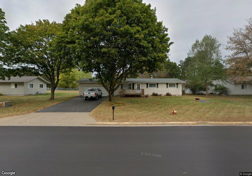
715 Bongey Dr Menomonie, WI 54751
Estimated Value: $206,000 - $301,000
4
Beds
1
Bath
1,500
Sq Ft
$164/Sq Ft
Est. Value
About This Home
This home is located at 715 Bongey Dr, Menomonie, WI 54751 and is currently estimated at $245,781, approximately $163 per square foot. 715 Bongey Dr is a home located in Dunn County with nearby schools including River Heights Elementary School, Menomonie Middle School, and Menomonie High School.
Ownership History
Date
Name
Owned For
Owner Type
Purchase Details
Closed on
Oct 28, 2019
Sold by
Roberts Estate Of Virginia L
Bought by
Roberts Jennifer L
Current Estimated Value
Home Financials for this Owner
Home Financials are based on the most recent Mortgage that was taken out on this home.
Interest Rate
3.75%
Purchase Details
Closed on
Feb 11, 2019
Sold by
Roberts Virginia L
Bought by
Roberts Jennifer L
Create a Home Valuation Report for This Property
The Home Valuation Report is an in-depth analysis detailing your home's value as well as a comparison with similar homes in the area
Home Values in the Area
Average Home Value in this Area
Purchase History
| Date | Buyer | Sale Price | Title Company |
|---|---|---|---|
| Roberts Jennifer L | $128,300 | -- | |
| Roberts Jennifer L | $128,300 | -- |
Source: Public Records
Mortgage History
| Date | Status | Borrower | Loan Amount |
|---|---|---|---|
| Closed | Roberts Jennifer L | -- |
Source: Public Records
Tax History Compared to Growth
Tax History
| Year | Tax Paid | Tax Assessment Tax Assessment Total Assessment is a certain percentage of the fair market value that is determined by local assessors to be the total taxable value of land and additions on the property. | Land | Improvement |
|---|---|---|---|---|
| 2024 | $2,849 | $150,200 | $26,300 | $123,900 |
| 2023 | $2,703 | $150,200 | $26,300 | $123,900 |
| 2022 | $2,593 | $150,200 | $26,300 | $123,900 |
| 2021 | $2,693 | $150,200 | $26,300 | $123,900 |
| 2020 | $3,120 | $128,300 | $22,300 | $106,000 |
| 2019 | $2,903 | $128,300 | $22,300 | $106,000 |
| 2018 | $2,859 | $128,300 | $22,300 | $106,000 |
| 2017 | $3,013 | $128,300 | $22,300 | $106,000 |
| 2016 | $2,940 | $128,300 | $22,300 | $106,000 |
| 2015 | $2,960 | $128,300 | $22,300 | $106,000 |
| 2014 | $2,993 | $128,300 | $22,300 | $106,000 |
| 2013 | $3,030 | $128,300 | $22,300 | $106,000 |
Source: Public Records
Map
Nearby Homes
- 2419 Fryklund Dr
- 1121 River Heights Rd
- 2202 Broadway St S
- 2003 Broadway St S
- N4856 460th St
- 1321 2nd St W
- 422 12th Ave W
- 422 12th Ave W Unit 1
- 207 12th Ave W
- 1708 8th St E
- 1115 7th St E Unit 1
- 1115 7th St E
- 921 14th Ave E
- 913 8th St E Unit 1 & 2
- 1314 16th Ave E
- 1400 12th Ave E
- 813 Oakwood Blvd
- 1412 Brickyard Rd
- 503 11th St E
- Pt Lot 1 CSM 2811 Amber View St