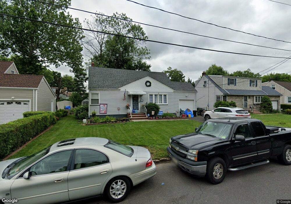
715 Brookside Rd Rahway, NJ 07065
Estimated Value: $394,000 - $590,000
Studio
--
Bath
1,060
Sq Ft
$454/Sq Ft
Est. Value
About This Home
This home is located at 715 Brookside Rd, Rahway, NJ 07065 and is currently estimated at $481,689, approximately $454 per square foot. 715 Brookside Rd is a home located in Union County with nearby schools including Rahway High School and Mother Seton Regional High School.
Ownership History
Date
Name
Owned For
Owner Type
Purchase Details
Closed on
Apr 3, 2006
Sold by
Gritenas John Arthur
Bought by
Lynch Angela L Bonanno
Current Estimated Value
Home Financials for this Owner
Home Financials are based on the most recent Mortgage that was taken out on this home.
Original Mortgage
$150,000
Outstanding Balance
$85,701
Interest Rate
6.26%
Mortgage Type
New Conventional
Estimated Equity
$395,988
Purchase Details
Closed on
Jan 29, 2003
Sold by
Gritenas John
Bought by
Gritenas John and Gritenas Svetlana
Purchase Details
Closed on
Aug 17, 2000
Sold by
Estate Of Rose M Gritenas and Hanish Debra Ann Gritenas
Bought by
Gritenas John Arthur
Home Financials for this Owner
Home Financials are based on the most recent Mortgage that was taken out on this home.
Original Mortgage
$135,625
Interest Rate
8.06%
Mortgage Type
Stand Alone First
Create a Home Valuation Report for This Property
The Home Valuation Report is an in-depth analysis detailing your home's value as well as a comparison with similar homes in the area
Home Values in the Area
Average Home Value in this Area
Purchase History
| Date | Buyer | Sale Price | Title Company |
|---|---|---|---|
| Lynch Angela L Bonanno | $350,000 | -- | |
| Gritenas John | -- | -- | |
| Gritenas John Arthur | $150,000 | -- |
Source: Public Records
Mortgage History
| Date | Status | Borrower | Loan Amount |
|---|---|---|---|
| Open | Lynch Angela L Bonanno | $150,000 | |
| Previous Owner | Gritenas John Arthur | $135,625 |
Source: Public Records
Tax History
| Year | Tax Paid | Tax Assessment Tax Assessment Total Assessment is a certain percentage of the fair market value that is determined by local assessors to be the total taxable value of land and additions on the property. | Land | Improvement |
|---|---|---|---|---|
| 2025 | $9,871 | $133,300 | $70,200 | $63,100 |
| 2024 | $9,560 | $133,300 | $70,200 | $63,100 |
| 2023 | $9,560 | $133,300 | $70,200 | $63,100 |
| 2022 | $9,360 | $133,300 | $70,200 | $63,100 |
| 2021 | $9,266 | $133,300 | $70,200 | $63,100 |
| 2020 | $9,231 | $133,300 | $70,200 | $63,100 |
| 2019 | $9,114 | $133,300 | $70,200 | $63,100 |
| 2018 | $8,922 | $133,300 | $70,200 | $63,100 |
| 2017 | $8,702 | $133,300 | $70,200 | $63,100 |
| 2016 | $8,517 | $133,300 | $70,200 | $63,100 |
| 2015 | $8,421 | $133,300 | $70,200 | $63,100 |
| 2014 | $8,270 | $133,300 | $70,200 | $63,100 |
Source: Public Records
Map
Nearby Homes
- 793 Garden St
- 814 Falesky St
- 860 Lakeside Dr
- 1138 William V Young Dr
- 1044 Madison Hill Rd
- 752 W Lake Ave
- 33 Cornell Dr
- 726 W Milton Ave
- 726 W Milton Ave Unit 1
- 698 W Lake Ave
- 693 Hemlock St
- 688 W Lake Ave
- 723 Dianne Ct
- 20 Joanna Place
- 26 Linda Ave
- 593 W Hazelwood Ave
- 1166 Jefferson Ave
- 17 Rolling Hill Way
- 78 Patricia Ave
- 196 Russell Ave
- 723 Brookside Rd
- 707 Brookside Rd
- 744 Beverly Rd
- 734 Beverly Rd
- 752 Beverly Rd
- 731 Brookside Rd
- 697 Brookside Rd
- 708 Brookside Rd
- 760 Beverly Rd
- 726 Beverly Rd
- 700 Brookside Rd
- 716 Brookside Rd
- 689 Brookside Rd
- 689 Brookside Rd Unit 1
- 692 Brookside Rd
- 726 Brookside Rd
- 718 Beverly Rd
- 768 Beverly Rd
- 684 Brookside Rd
- 747 Brookside Rd
Your Personal Tour Guide
Ask me questions while you tour the home.