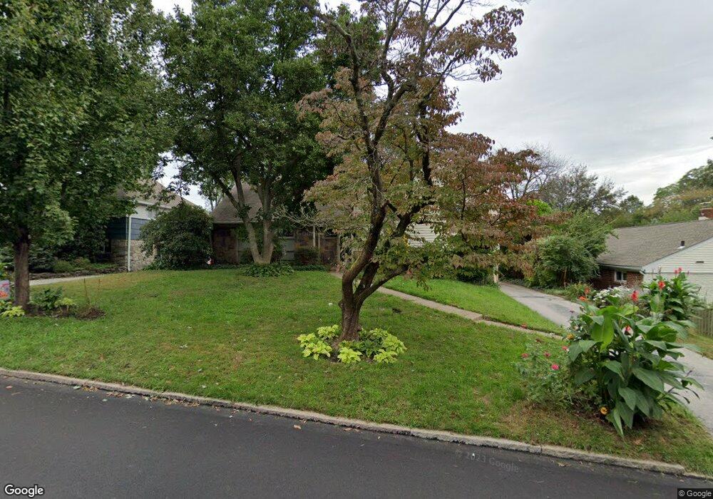
715 Cambridge Rd Bala Cynwyd, PA 19004
Estimated Value: $818,000 - $962,000
3
Beds
2
Baths
2,848
Sq Ft
$314/Sq Ft
Est. Value
About This Home
This home is located at 715 Cambridge Rd, Bala Cynwyd, PA 19004 and is currently estimated at $895,017, approximately $314 per square foot. 715 Cambridge Rd is a home located in Montgomery County with nearby schools including Cynwyd School, Bala-Cynwyd Middle School, and Lower Merion High School.
Ownership History
Date
Name
Owned For
Owner Type
Purchase Details
Closed on
Oct 9, 1996
Sold by
Kozak George A and Cambria Angela
Bought by
Kozak George A and Kozak Angela Cambria
Current Estimated Value
Purchase Details
Closed on
Feb 28, 1994
Sold by
Rosenfield Joseph M and Rosenfield Beatrice
Bought by
Kozak George A and Cambria Angela
Create a Home Valuation Report for This Property
The Home Valuation Report is an in-depth analysis detailing your home's value as well as a comparison with similar homes in the area
Home Values in the Area
Average Home Value in this Area
Purchase History
| Date | Buyer | Sale Price | Title Company |
|---|---|---|---|
| Kozak George A | -- | -- | |
| Kozak George A | $221,000 | -- |
Source: Public Records
Tax History Compared to Growth
Tax History
| Year | Tax Paid | Tax Assessment Tax Assessment Total Assessment is a certain percentage of the fair market value that is determined by local assessors to be the total taxable value of land and additions on the property. | Land | Improvement |
|---|---|---|---|---|
| 2025 | $8,885 | $212,760 | $118,890 | $93,870 |
| 2024 | $8,885 | $212,760 | $118,890 | $93,870 |
| 2023 | $8,514 | $212,760 | $118,890 | $93,870 |
| 2022 | $8,357 | $212,760 | $118,890 | $93,870 |
| 2021 | $8,167 | $212,760 | $118,890 | $93,870 |
| 2020 | $7,967 | $212,760 | $118,890 | $93,870 |
| 2019 | $7,827 | $212,760 | $118,890 | $93,870 |
| 2018 | $7,826 | $212,760 | $118,890 | $93,870 |
| 2017 | $7,539 | $212,760 | $118,890 | $93,870 |
| 2016 | $7,456 | $212,760 | $118,890 | $93,870 |
| 2015 | $6,952 | $212,760 | $118,890 | $93,870 |
| 2014 | $6,952 | $212,760 | $118,890 | $93,870 |
Source: Public Records
Map
Nearby Homes
- 135 Cornell Rd
- 717 Stradone Rd
- 116 E Princeton Rd
- 195 Belmont Ave
- 534 Ott Rd
- 19 Rock Hill Rd Unit 7-D
- 51 Academy Rd
- 42 Madison Ave Unit 272
- 0 Penn Ave
- 354 Trevor Ln
- 17 Jefferson St
- 138 Rockland Ave
- 4523 Riverside Way
- 85 Price St
- 115 David Rd
- 205 Ebenezer Ave
- 317 Marywatersford Rd
- 4584 Riverside Way
- 4586 Riverside Way
- 220 Jefferson St
- 717 Cambridge Rd
- 101 Leland Rd
- 107 Leland Rd
- 702 Fordham Rd
- 719 Cambridge Rd
- 704 Fordham Rd
- 716 Cambridge Rd
- 714 Cambridge Rd
- 718 Cambridge Rd
- 712 Cambridge Rd
- 104 Leland Rd
- 723 Cambridge Rd
- 705 Cambridge Rd
- 706 Fordham Rd
- 708 Cambridge Rd
- 720 Cambridge Rd
- 108 Leland Rd
- 708 Fordham Rd
- 725 Cambridge Rd
- 703 Fordham Rd