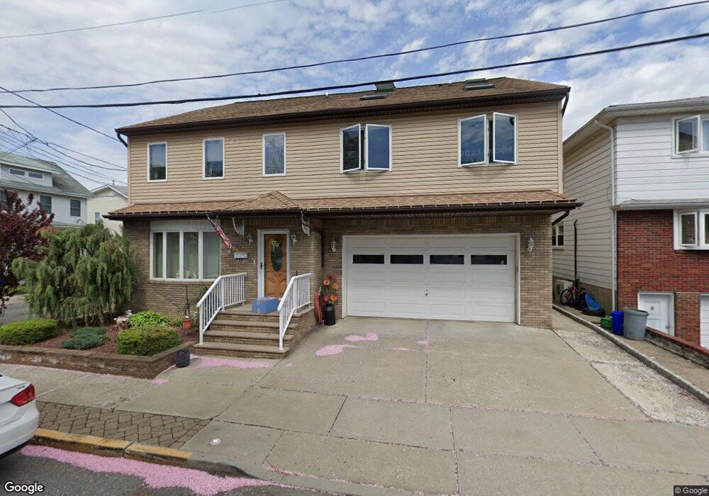
715 Cedar St Lyndhurst, NJ 07071
Estimated Value: $843,000 - $1,038,000
--
Bed
--
Bath
3,062
Sq Ft
$298/Sq Ft
Est. Value
About This Home
This home is located at 715 Cedar St, Lyndhurst, NJ 07071 and is currently estimated at $911,589, approximately $297 per square foot. 715 Cedar St is a home located in Bergen County with nearby schools including Lyndhurst High School and Sacred Heart School.
Ownership History
Date
Name
Owned For
Owner Type
Purchase Details
Closed on
Mar 20, 1996
Sold by
Fiscuso Frank
Bought by
Holland John and Holland Karen
Current Estimated Value
Home Financials for this Owner
Home Financials are based on the most recent Mortgage that was taken out on this home.
Original Mortgage
$100,000
Outstanding Balance
$3,908
Interest Rate
6.99%
Estimated Equity
$907,681
Create a Home Valuation Report for This Property
The Home Valuation Report is an in-depth analysis detailing your home's value as well as a comparison with similar homes in the area
Home Values in the Area
Average Home Value in this Area
Purchase History
| Date | Buyer | Sale Price | Title Company |
|---|---|---|---|
| Holland John | $145,000 | -- |
Source: Public Records
Mortgage History
| Date | Status | Borrower | Loan Amount |
|---|---|---|---|
| Open | Holland John | $100,000 |
Source: Public Records
Tax History Compared to Growth
Tax History
| Year | Tax Paid | Tax Assessment Tax Assessment Total Assessment is a certain percentage of the fair market value that is determined by local assessors to be the total taxable value of land and additions on the property. | Land | Improvement |
|---|---|---|---|---|
| 2025 | $13,693 | $663,500 | $245,000 | $418,500 |
| 2024 | $13,090 | $656,400 | $242,500 | $413,900 |
| 2023 | $12,108 | $644,200 | $235,000 | $409,200 |
| 2022 | $12,108 | $381,700 | $160,000 | $221,700 |
| 2021 | $11,604 | $381,700 | $160,000 | $221,700 |
| 2020 | $11,352 | $381,700 | $160,000 | $221,700 |
| 2019 | $11,268 | $381,700 | $160,000 | $221,700 |
| 2018 | $11,359 | $381,700 | $160,000 | $221,700 |
| 2017 | $11,073 | $381,700 | $160,000 | $221,700 |
| 2016 | $10,825 | $381,700 | $160,000 | $221,700 |
| 2015 | $10,485 | $381,700 | $160,000 | $221,700 |
| 2014 | $10,348 | $381,700 | $160,000 | $221,700 |
Source: Public Records
Map
Nearby Homes
- 258 Kingsland Ave
- 510 Anthony Ct
- 474 Willow Ave
- 168 Forest Ave
- 14 River Rd Unit F
- 14 River Rd Unit G
- 25 River Rd Unit A-12
- 307 Jauncey Ave
- 446 Alder St
- 614 10th St
- 459 Riverside Ave
- 609 Chase Ave
- 416 Kingsland Ave
- 824 Main St Unit j
- 824 Main St
- 138 Fern Ave
- 1 River Rd Unit L
- 1 River Rd
- 518 8th St
- 471 Harding Ave
- 707 Cedar St Unit 1
- 707 Cedar St Unit 2
- 201 Paul St
- 208 Paul St
- 214 Sanford Ave
- 204 Paul St
- 206-208 Sanford Ave
- 206 Sanford Ave Unit 208
- 706 Wiedemann Place
- 212 Paul St
- 212 Paul St Unit 2
- 704 Wiedemann Place Unit 706
- 704-706 Wiedemann Place
- 712 Cedar St
- 708 Cedar St
- 718 Wiedemann Place
- 706 Cedar St
- 214 Paul St
- 702 Cedar St
- 220 Paul St